
58 routes · Hiking
The trek to the iconic Dragon's Tooth formation.
Hiking Difficult

Beginning at a small trailhead on Northside Rd near Huffman, VA, the AT climbs up to the top of a ridge where it stays for the first third of the segment. Leaving the ridge, it descends to Lee Hollow before another grueling climb to an adjacent ridge.
Atop the ridge, the trail intersects a dead end road, the trailhead for the Audie Murphie Monument. According to virginia.org, "On May 28, 1971, Audie Murphy, (the) most decorated US soldier in World War II, died in an airplane crash on the slopes of Brush Mountain, near New Castle, VA." This historic monument is only a 1/2 mile hike north on the AT from the trailhead.
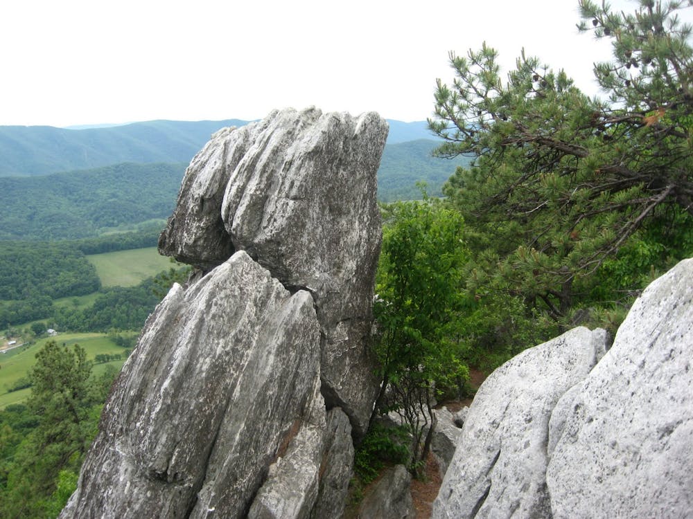
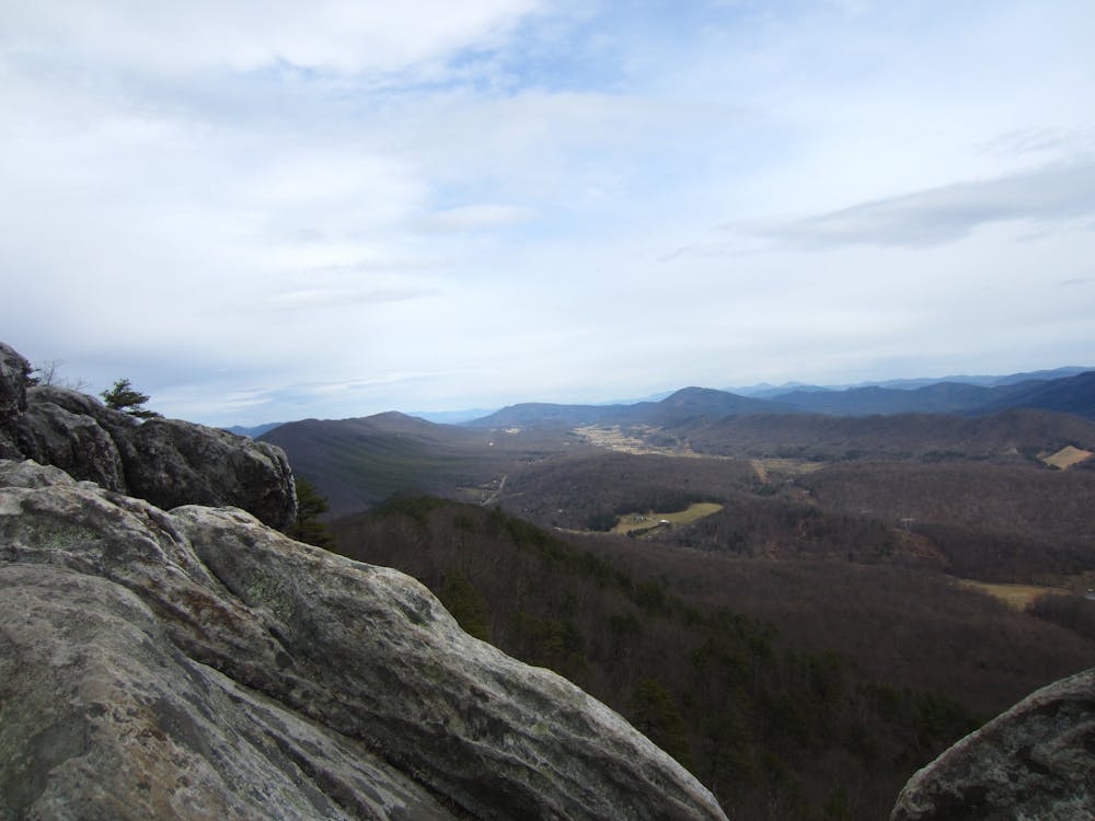
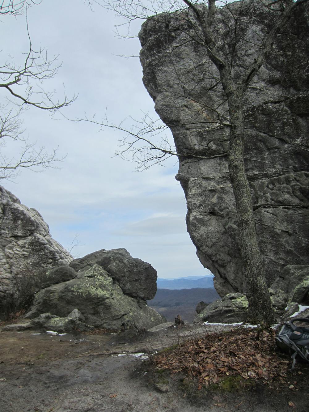
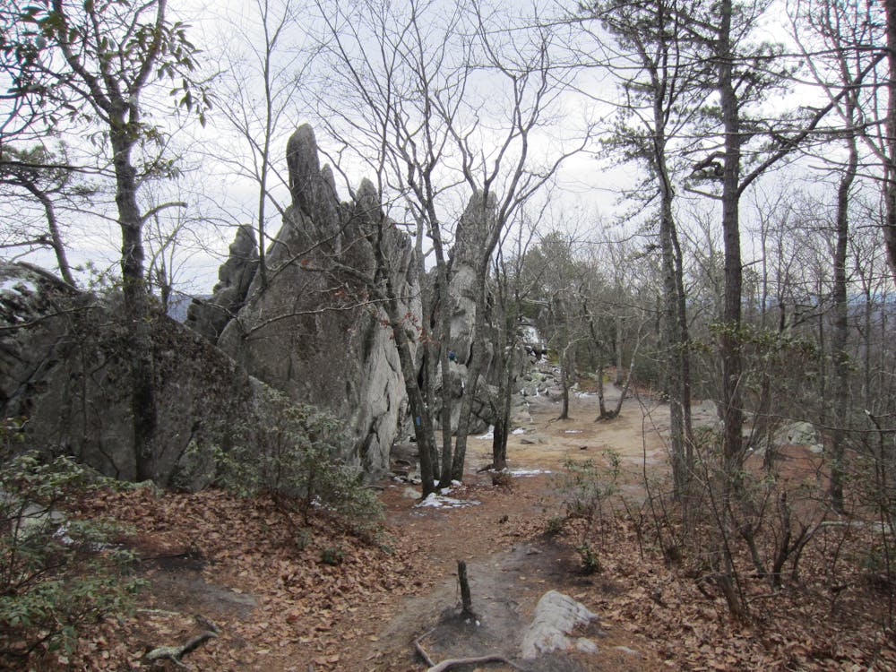
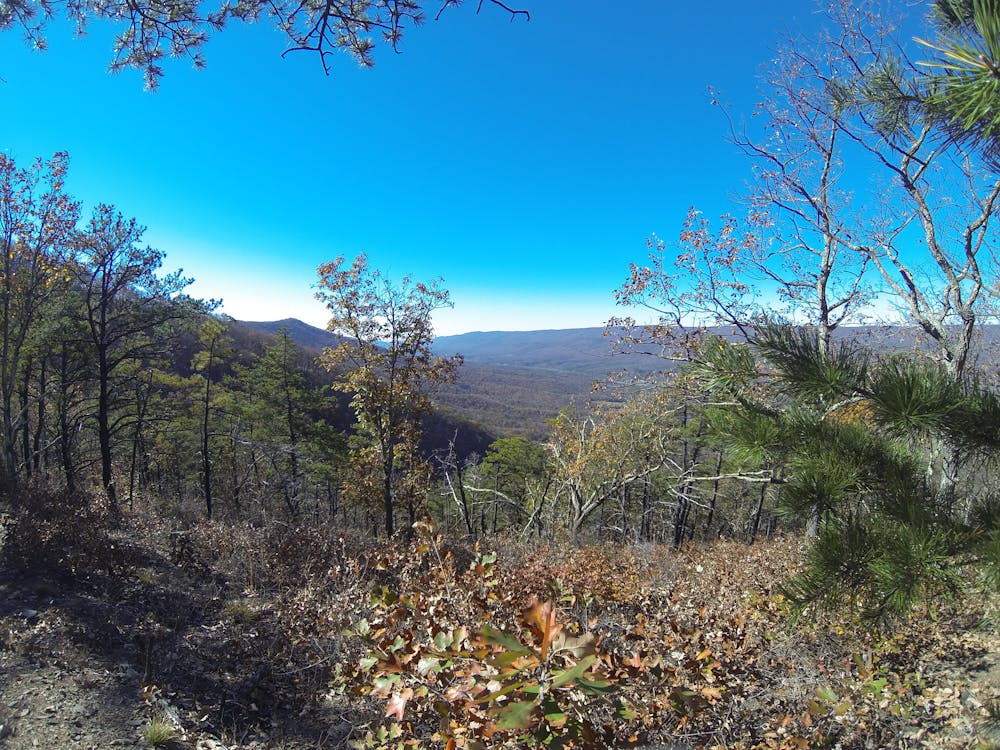
Crossing Miller Cove Road (VA-620), the trail spirals its way atop another ridge as it heads towards Cove Mountain, the location of the famous and iconic Dragon's Tooth, where you'll be welcomed with breathtaking views of the valleys below. Expect to spend some time there taking in the view and exploring the unique formation before continuing on.
A short hike north on the AT from the formation, you'll intersect Dragon's Tooth Trail. For those looking for a shorter day hike, the developed parking area at Catawba Valley Drive serves as an excellent trailhead for the 4.6-mile round-trip hike to the summit.
Crossing over Newport and Blacksburg Roads, the AT continues its regional rhythm of ridgeline traverses as it heads towards the McAfee Knob Trailhead on Catawba Valley Drive (VA-311).
Sources: https://www.theoutbound.com/virginia/hiking/hike-dragon-s-tooth
Difficult
Hiking trails where obstacles such as rocks or roots are prevalent. Some obstacles can require care to step over or around. At times, the trail can be worn and eroded. The grade of the trail is generally quite steep, and can often lead to strenuous hiking.

The trail contains some obstacles such as outcroppings and rock which could cause injury.
Away from help but easily accessed.
58 routes · Hiking