3.6 km away
Pot Point Loop
A lesser-visited loop in Prentice Cooper State Forest with plenty of views along the way.
Difficult Hiking
- Distance
- 18 km
- Ascent
- 548 m
- Descent
- 548 m
A classic hiking loop off the Cumberland Trail in Prentice Cooper State Forest.
Hiking Difficult

Mullens Cove Loop is one of two popular hiking routes in Prentice Cooper State Forest—Pot Point Loop being the other. Both loops combined make up 33.8 miles of the Cumberland Trail and can be paired together for a longer overnight trip.
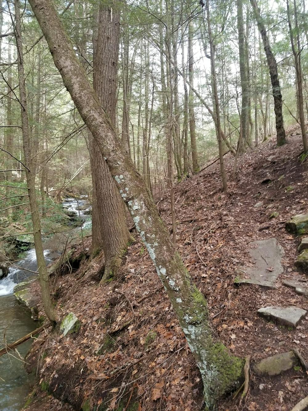
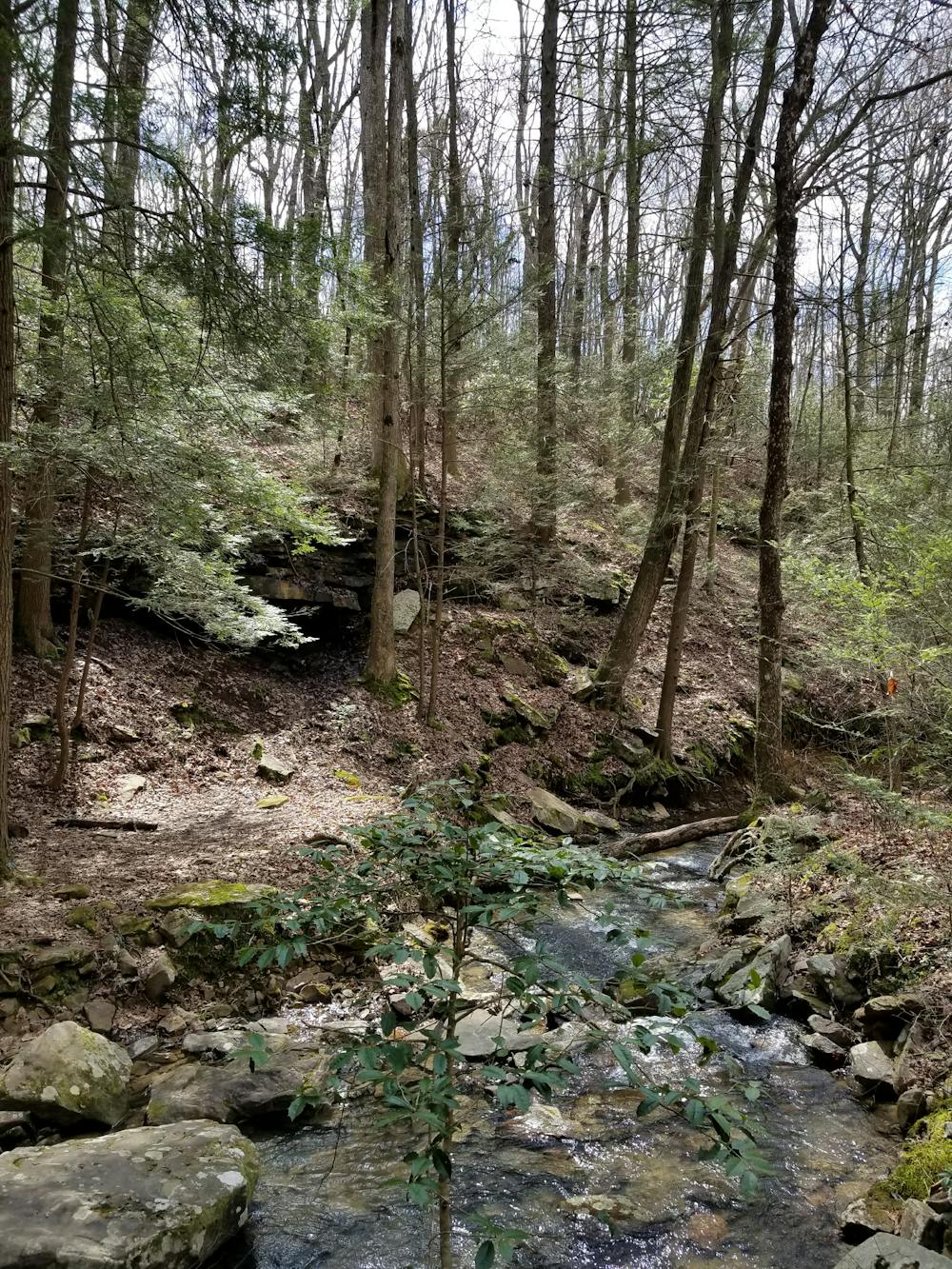
The hike begins along Tower Drive at a well-marked trailhead. This loop can be hiked in either direction, with an option for overnight camping along the southern portion at Hemlock Branch Campsite. Just to its west, the trail takes hikers to the Mullens Cove Overlook, providing some partial views towards the distant Chattanooga River.
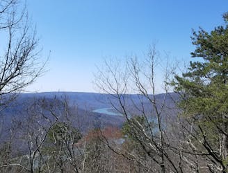
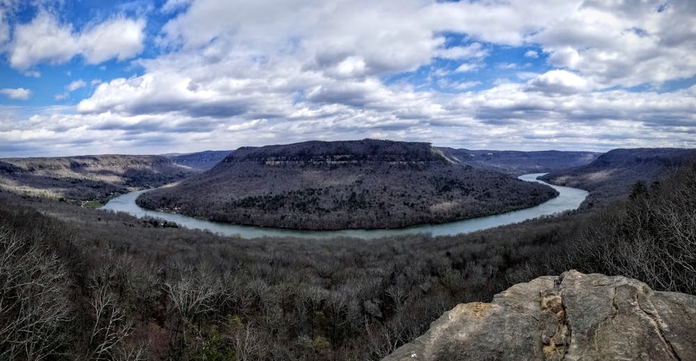
The highlight of the loop lies at Snoopers Rock Overlook. A parking area just above the overlook provides easy access for those looking to snag some views without a hike. Atop the rock, you're rewarded with an incredibly beautiful overlook of the Chattanooga River. Take some time to soak in the views and enjoy a lunch if you brought one.
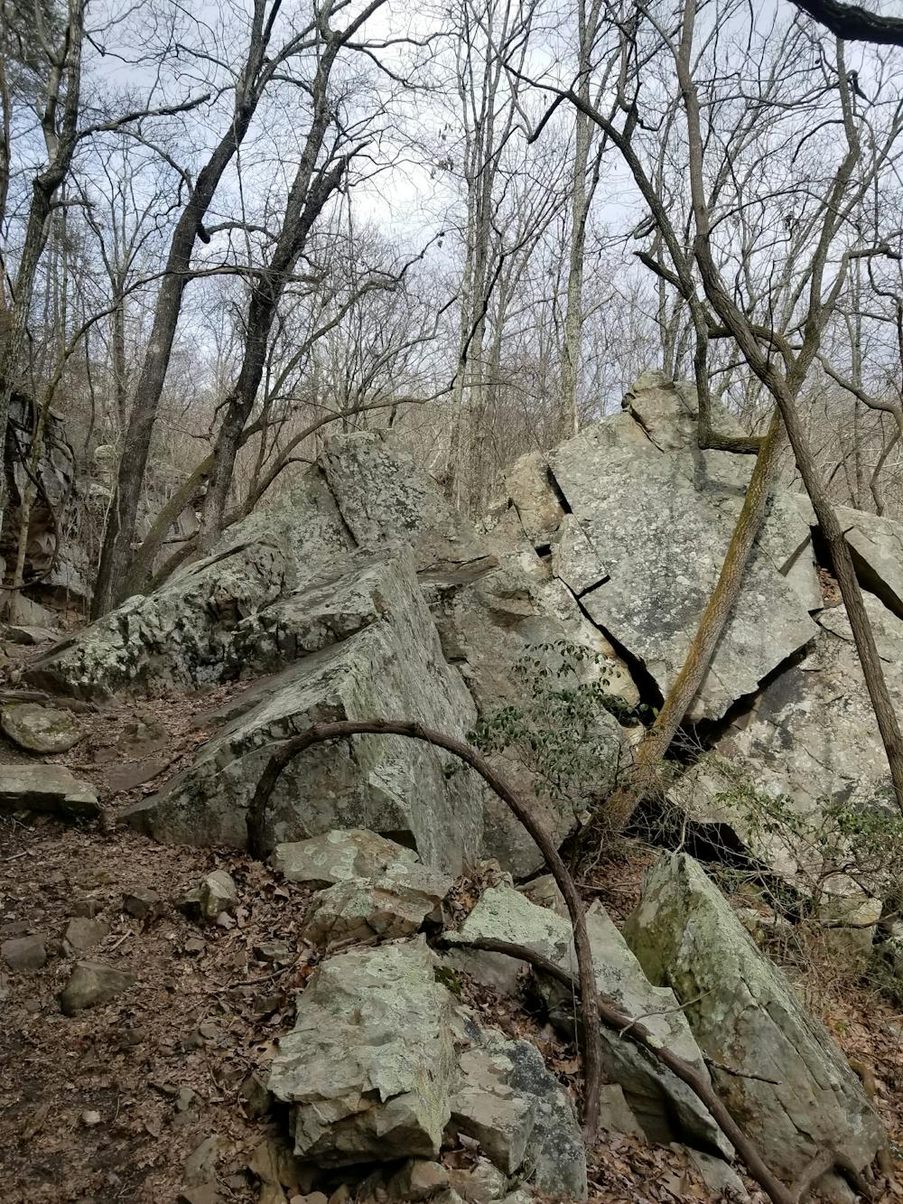
The easternmost leg of the loop connects Snoopers Rock to Indian Rockhouse & Stone Door. Following a rock bluff, the trail leads to a natural opening where it climbs back to the trailhead about 0.5-miles ahead.
Sources: https://www.cumberlandtrail.org/maps-and-guides/trail-segments/tn-river-gorge/mullens-cove-loop/
Difficult
Hiking trails where obstacles such as rocks or roots are prevalent. Some obstacles can require care to step over or around. At times, the trail can be worn and eroded. The grade of the trail is generally quite steep, and can often lead to strenuous hiking.

The trail contains some obstacles such as outcroppings and rock which could cause injury.

Little chance of being seen or helped in case of an accident.
3.6 km away
A lesser-visited loop in Prentice Cooper State Forest with plenty of views along the way.
Difficult Hiking