14 routes · Hiking
A long distance hiking trail connecting the Caprock Escarpment to the Red River Valley.
Hiking Moderate

Opened in 1993, this Rails-to-Trails project is one of the only long-distance hiking or biking trails in West Texas. Following an old railroad grade, it weaves in and out of remote farmlands and red-dirt canyons, passing through one of the state's only remaining railroad tunnels.
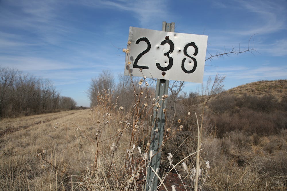
According to Caprock Canyons State Park, "Burlington Northern built this railroad as part of the Fort Worth and Denver South Plains Railway in the early 1920s. The railroad began regular freight and passenger service between Lubbock and Estelline in 1928." Today, the ~65-mile stretch of railway follows the original route, passing over 46 bridges between South Plains and Estelline.
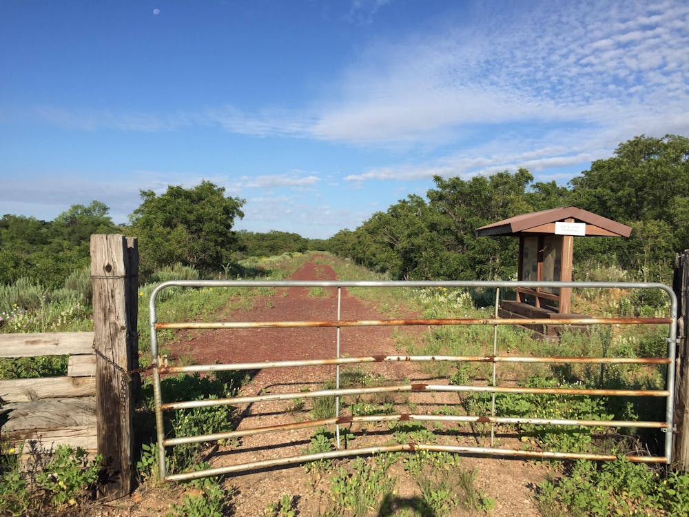
Endless primitive camping opportunities are available along the trail, but keep within the boundary of the park. Self-pay kiosks are available if you intend to spend one night on the trail. For multi-night stays, contact the state park directly to make arrangements.
In addition to its many bridges, one highlight of the route lies 13 miles east from the South Plains Terminal. Clarity Tunnel is one of the last accessible railroad tunnels in the state and the summer residence for a large colony of bats. According to the park, "Up to half a million bats spend their summers here." They are sensitive to human interaction, as well as light and sound, and should not be handled. The park also suggests wearing long-sleeved outerwear and hats when passing through. A 9-mile round trip hike from Monk's Crossing also allows access to the tunnel.
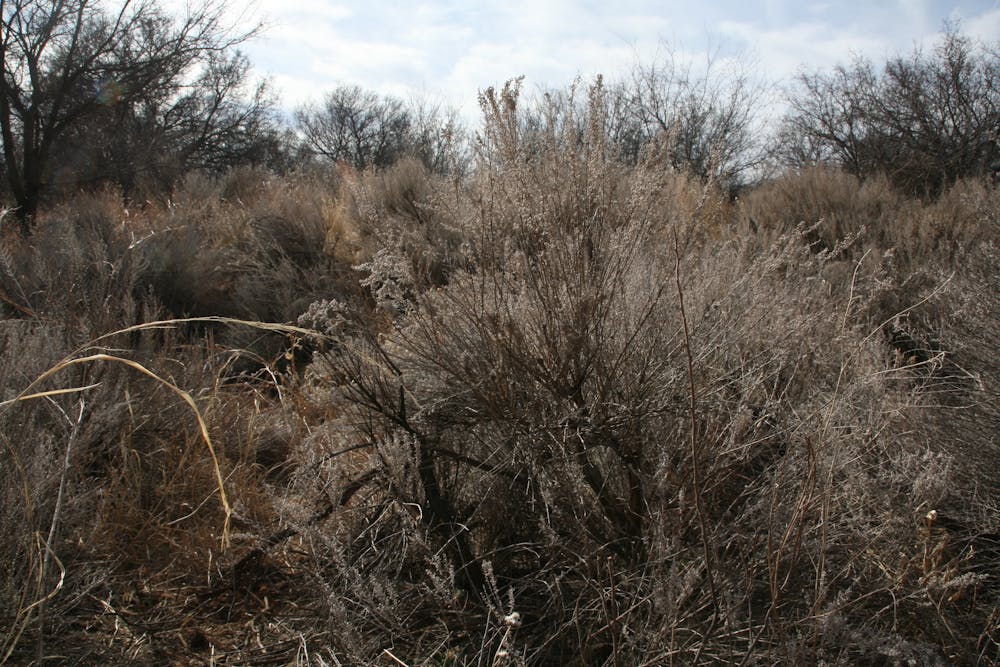
Water and facilities are limited along the trail, and cell reception is non-existent at times. Thorns, commonly referred to as "goat heads," line the path and rattlesnakes aren't uncommon in the warmer months.
Even with plenty of access points, the trail is most often shuttled by leaving a vehicle at one terminus and beginning at the other. North of Quitaque, Caprock Canyons State Park is also home to an extensive trail network, showcasing beautiful red-dirt formations, below the Caprock Escarpment.
Sources: https://tpwd.texas.gov/state-parks/caprock-canyons/trailway
Moderate
Hiking along trails with some uneven terrain and small hills. Small rocks and roots may be present.

The trail contains some obstacles such as outcroppings and rock which could cause injury.

Little chance of being seen or helped in case of an accident.
14 routes · Hiking