3.8 km away
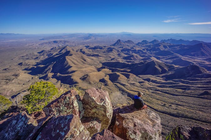
Lighthouse Trail
A stunning hike through red rock canyons bound for Lighthouse Peak.
Moderate Hiking
- Distance
- 9.3 km
- Ascent
- 158 m
- Descent
- 158 m
A short overlook hike near the entrance of the park with countless stunning views of the canyon.
Hiking Moderate

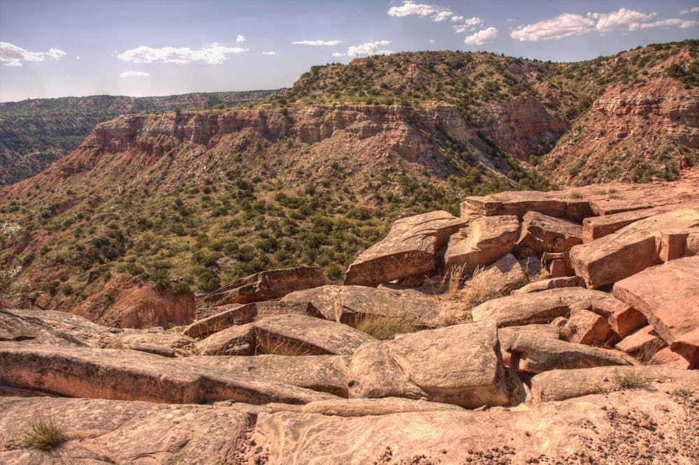
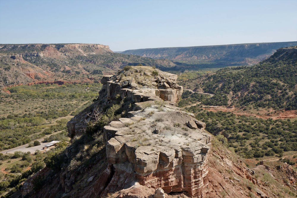
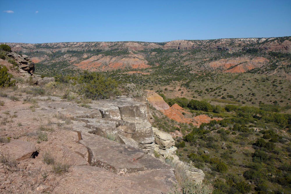
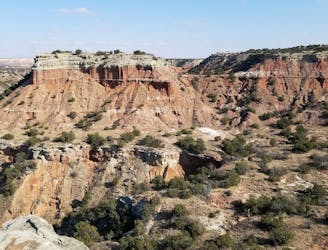
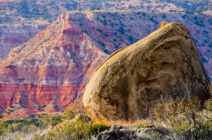
Just minutes past the entrance to Palo Duro Canyon, you will notice a pull-off on your right that many pass up. Be sure to stop though, this trailhead is the start of the CCC trail, an epic ridgetop traverse with stunning views of the expansive red rock canyon. While its final destination is the bottom of the canyon near the amphitheater, a short out-and-back to the junction with Trassic Trail (as mapped), is the most popular option for a short hike.
Built in the 1930s by the original Civilian Conservation Corps, the trail has a long-standing history as one of the classic must do hikes in the state park. Palo Duro boasts the title of the second-largest canyon in the United States, second only to the Grand Canyon itself. Despite its title, however, the most visited state park in Texas is still one of the best-hidden gems along the Interstate 40 corridor. The park, and more specifically this overlook, are a mere 30-minute detour from downtown Amarillo.
As noted above, the trailhead can hold several cars and is just minutes past the entry gate. A complete list of park hours and entry fees can be found here.
Moderate
Hiking along trails with some uneven terrain and small hills. Small rocks and roots may be present.

The trail contains some obstacles such as outcroppings and rock which could cause injury.

Close to help in case of emergency.
3.8 km away
A stunning hike through red rock canyons bound for Lighthouse Peak.
Moderate Hiking
5 routes · Mountain Biking · Hiking · Trail Running
14 routes · Hiking