
8 routes · Hiking
A wild, rugged, and remote hike along the southern shores of Lake Texoma.
Hiking Difficult
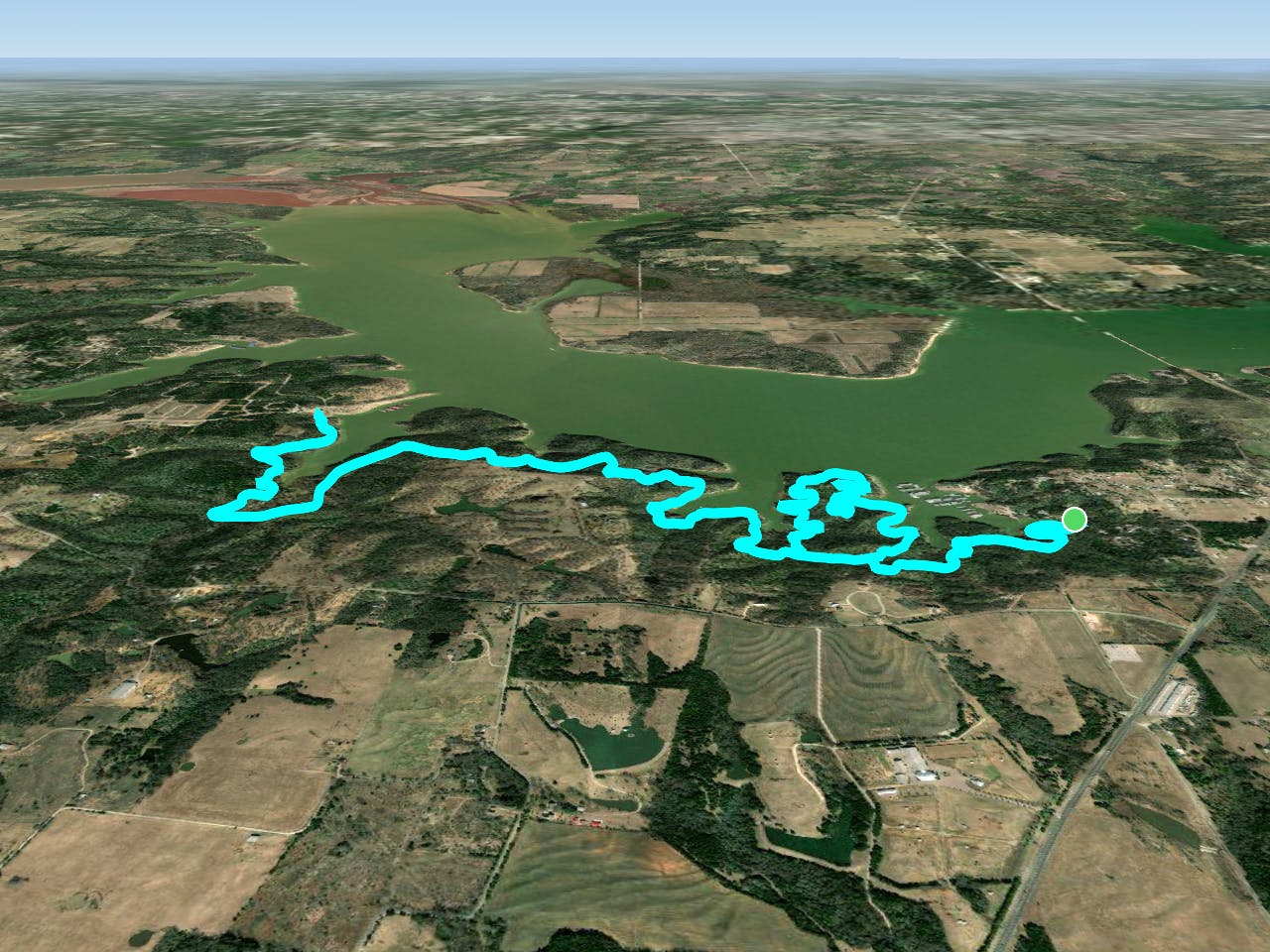
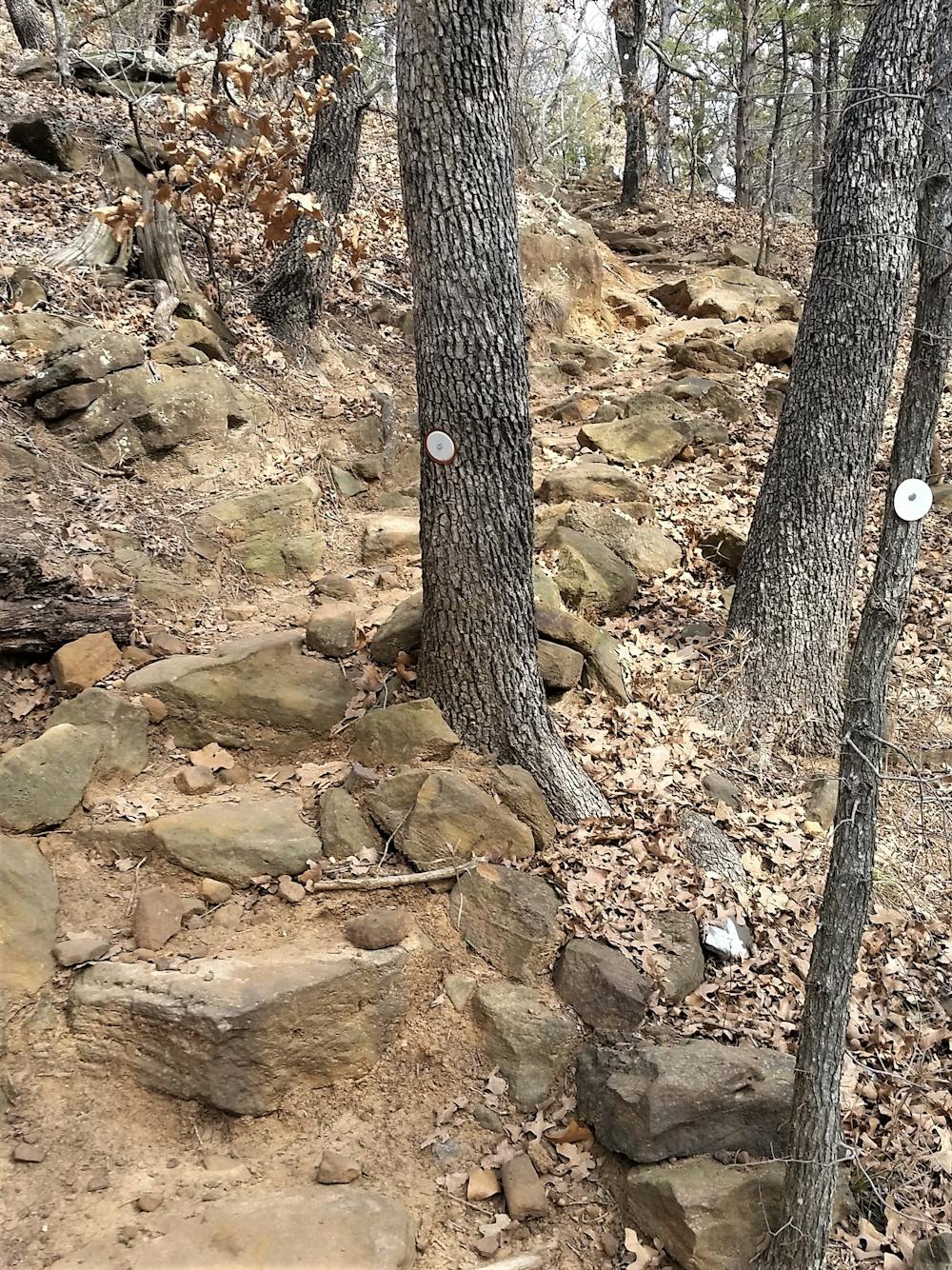
According to NTX Trails, Cross Timbers is "largely considered one of the most difficult trails in all North Texas," if not the entire region. While popular with mountain bikers, the trail is far more suited for hiking or trail running due to its ruggedness. In fact, the annual Cross Timbers Trail Run traverses the entire trail, offering distances between 5 miles and 50k. Should you hike the exact loop mapped here, you'll end up just shy of 13 miles through remote and forested woodlands on the edge of Lake Texoma.
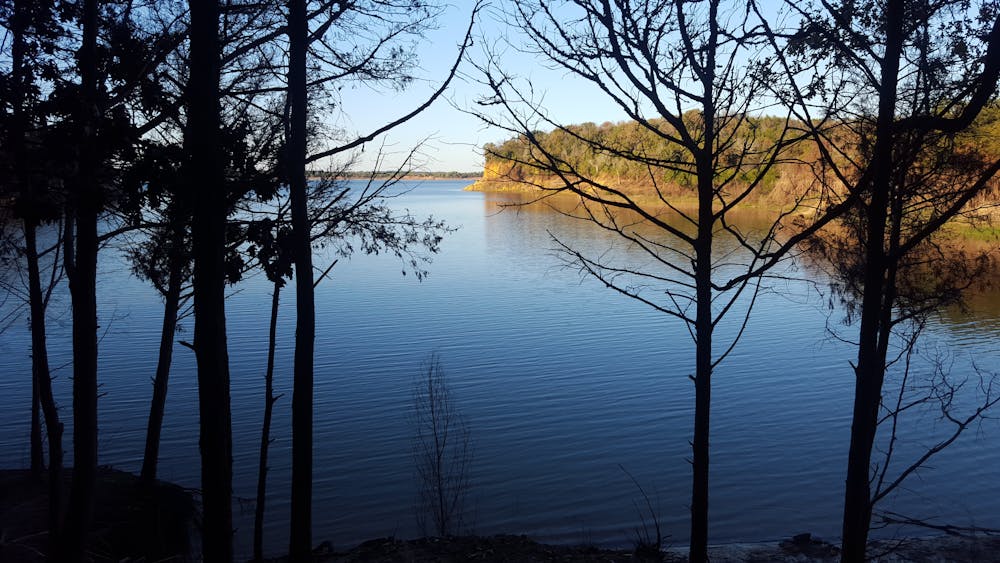
Maintained entirely by volunteers, this out-and-back tours most of the trail and includes plenty of rocks, roots, and punchy climbs, plus a few extra miles if you choose to hike the Lost Loop as mapped. You'll enjoy stunning lakeside views, remote singletrack, and a feeling as if you're in the middle of a true wilderness area, a rarity given your proximity to DFW. After your first hike, you'll undoubtedly come back for more.
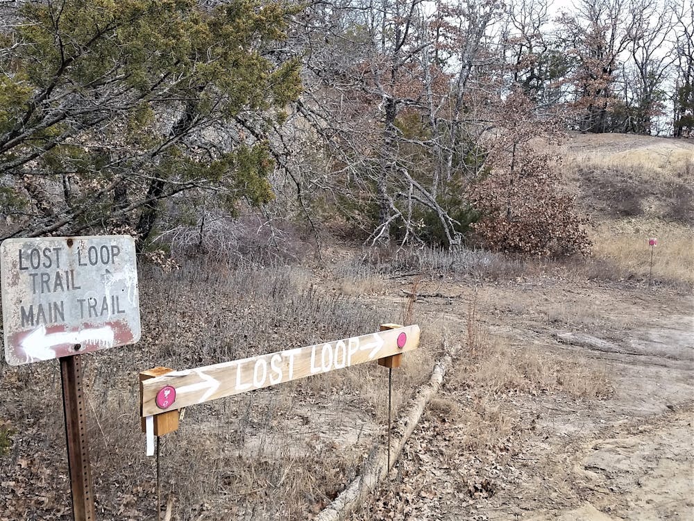
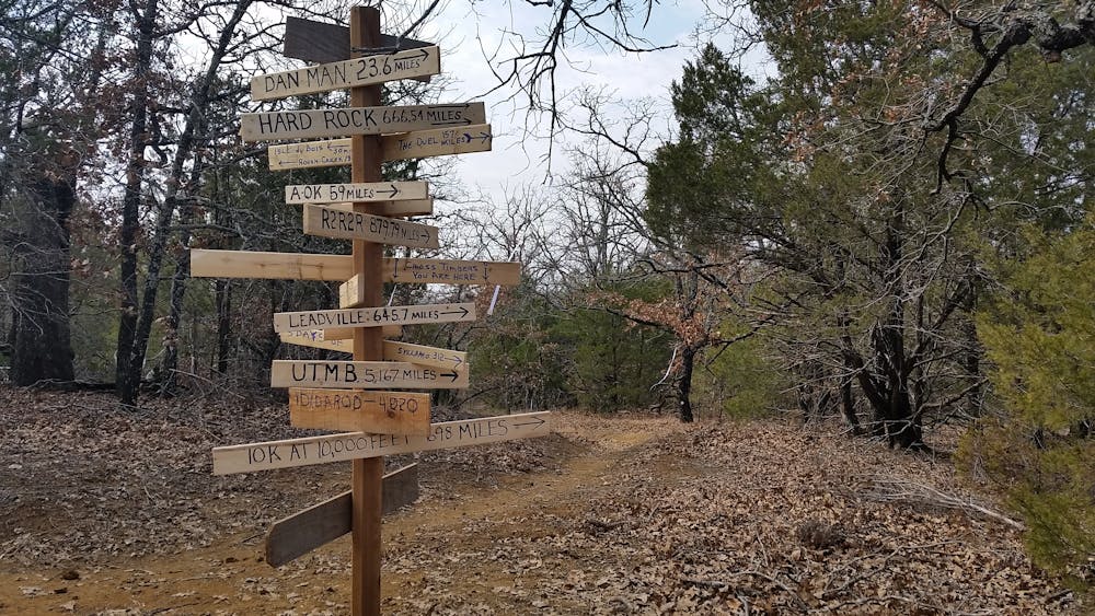
Blazed with white dots, often mason jar lids, the trail occasionally splits into separate lines for hiking and biking. While bikes follow the red arrows, hikers will want to follow the green arrows whenever possible. They will always merge back together shortly after. The option to hike the Lost Loop is also a nice addition to the main line, but remember to bring plenty of water since you do get quite far out there and there is nowhere to refill. From its northernmost point, you may even enjoy some partial views of the lake if you know where to look.
The most common way to begin the trail is to access it from Cedar Bayou, its eastern trailhead. Parking on the western end at Paw Paw Creek Resort is less common due to the drive, but it may make sense for some and requires a parking fee. Water and restrooms are available at both, but not immediately at the trailhead.
While not mapped here, those looking for extra miles can link Cedar Bayou northeast to Juniper Point, the trail's true eastern terminus. The trail traverses an endless selection of rocks and roots for what NTX Trails describes as "harrowingly gnarly descents" when attempted on bike.
As for the trail's history, Cross Timbers notes a divide in eastern forest and southern plains, as well as a separation between the previous Native American settlers, this source notes. While increasingly rare, ancient trees can still be found in places, including a 500+-year-old red cedar and 400+-year-old post oak north towards Tulsa. These giants serve as a reminder of an important stage in our pioneering history and westward migration.
Sources: https://ntxtrails.com/mtb-trails/northwest/cross-timbers-trail/ https://www.laketexoma.com/news--outdoors--Cross-Timbers-Hiking-Trail-at-Lake-Texoma/7206
Difficult
Hiking trails where obstacles such as rocks or roots are prevalent. Some obstacles can require care to step over or around. At times, the trail can be worn and eroded. The grade of the trail is generally quite steep, and can often lead to strenuous hiking.

The trail contains some obstacles such as outcroppings and rock which could cause injury.

Little chance of being seen or helped in case of an accident.
8 routes · Hiking

14 routes · Hiking