1.2 km away
Fern Cave via South Prong Campground
An out-and-back to Fern Cave with two challenging climbs.
Moderate Hiking
- Distance
- 8.7 km
- Ascent
- 341 m
- Descent
- 341 m
A beautiful red-dirt loop showcasing the best trails in Caprock Canyons State Park.
Hiking Moderate

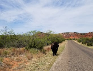
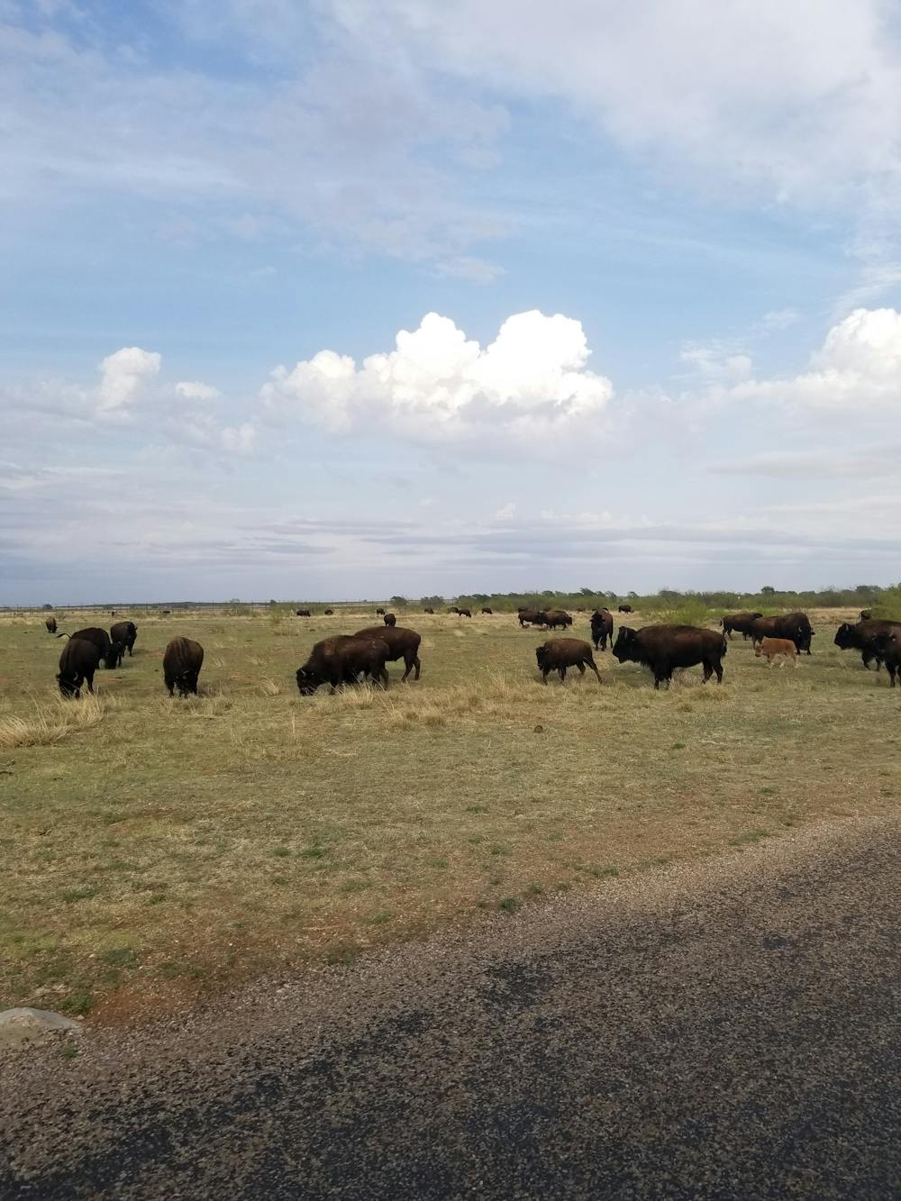
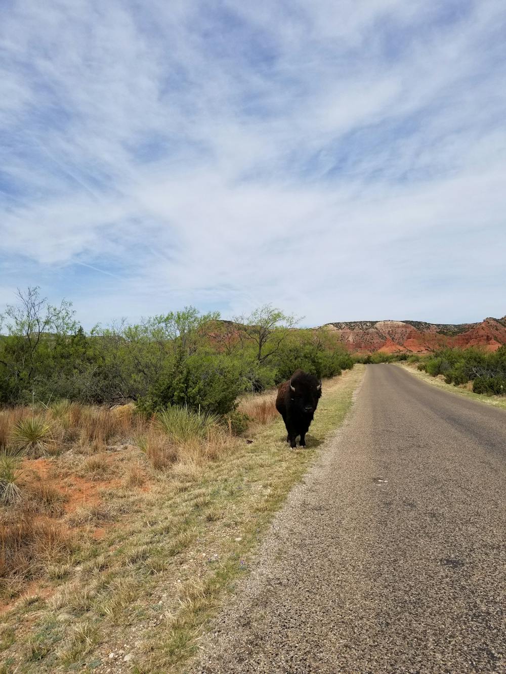
Caprock Canyons State Park is arguably one of the best-kept secrets in Texas. Opened in 1982, this region has been home cultures dating as far back as 10,000 years. Today, it is a refuge for a protected bison herd and a destination for some of the state's premier hiking.
Lubbock and Amarillo are both within two hours, and the Dallas-Fort Worth metropolitan area is less than five hours away. Despite the distance, the extensive network of trail and camping opportunities make this a popular weekend destination for the entire family.
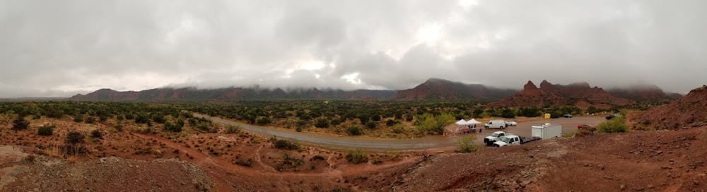
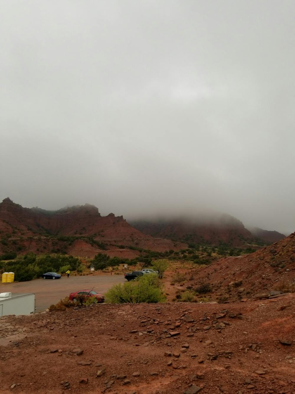
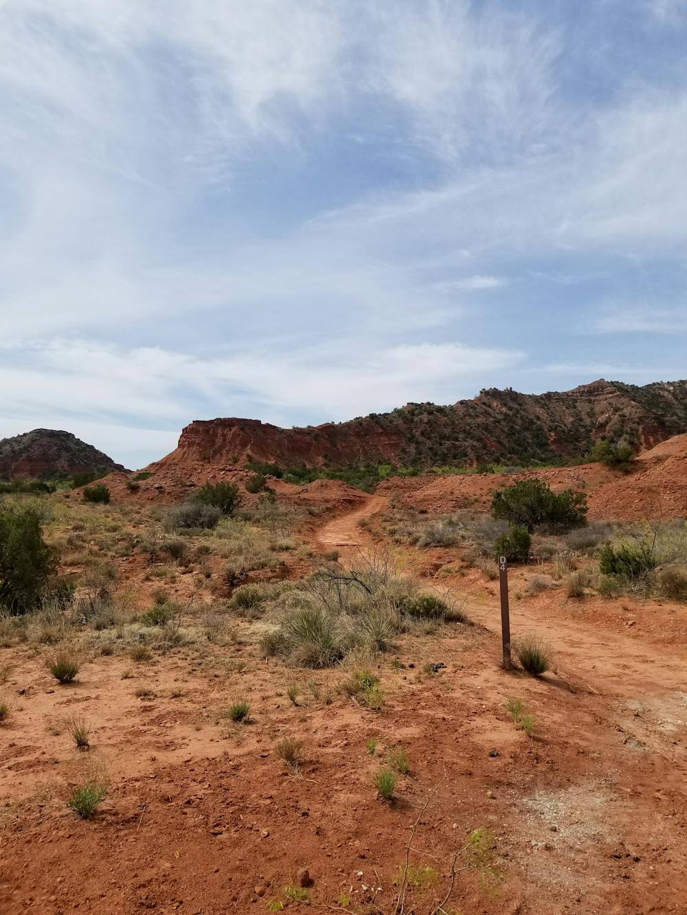
Begin this hike at the North Prong parking area. There are no facilities or water at the trailhead, so be sure to stock up at the welcome center when you check into the park.
The loop begins by heading north, passing through a small notch in a red dirt wall. Soon after, you'll reach an intersection where you're given the option to complete this loop in either direction. Counter-clockwise is chosen by most.
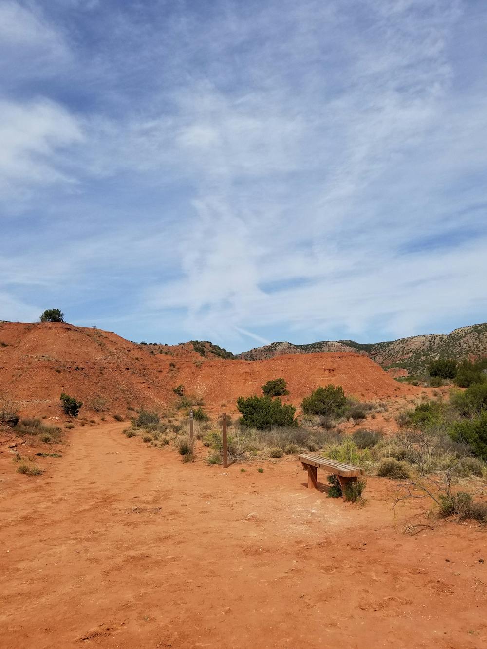
Relatively flat, the trail passes a primitive camping area, and then reaches the junction with the Upper Canyon Trail. Here, you'll pass through sandy washes as the trail enters a narrow canyon, bound for Fern Cave. A highlight of the park, the overhanging ledge lined with ferns provides a relaxing atmosphere to enjoy lunch before continuing the loop.
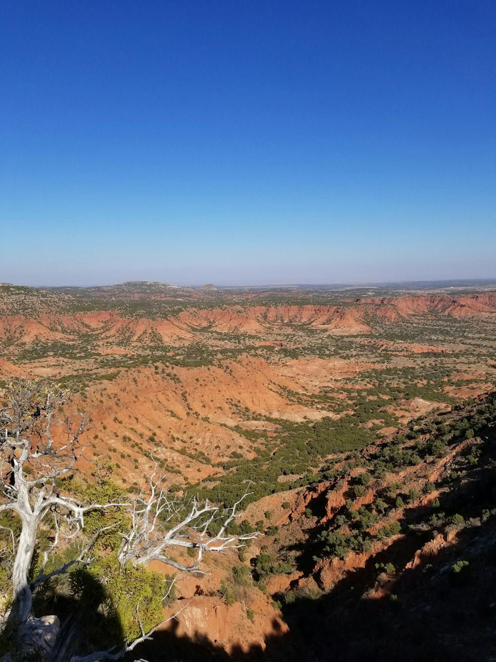
A steep climb out of the cave leads to Haynes Ridge. You'll enjoy expansive views from the top of the ridge of the surrounding canyons. The wide array of flora also complements the beautiful red dirt backdrop.
The route ends with a gradual descent back to the Canyon Loop Trail, where you'll retrace your steps back to the trailhead.
Sources: https://tpwd.texas.gov/state-parks/caprock-canyons/parkhistory
Moderate
Hiking along trails with some uneven terrain and small hills. Small rocks and roots may be present.

The trail contains some obstacles such as outcroppings and rock which could cause injury.
Away from help but easily accessed.
1.2 km away
An out-and-back to Fern Cave with two challenging climbs.
Moderate Hiking