1 m away
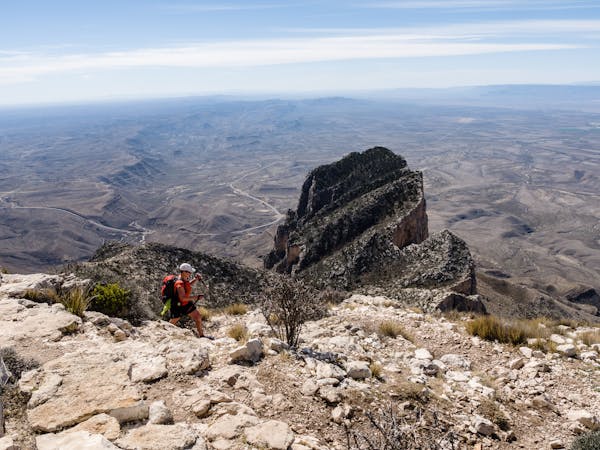
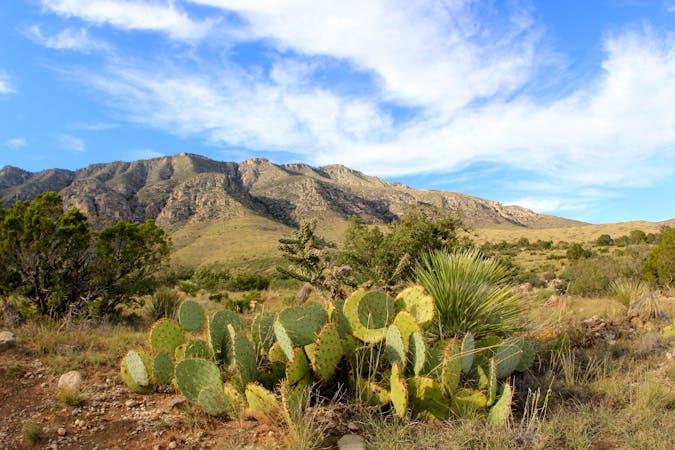
Guadalupe Peak
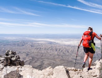
Hike to the highest point in Texas!
Difficult Hiking
- Distance
- 13 km
- Ascent
- 926 m
- Descent
- 926 m
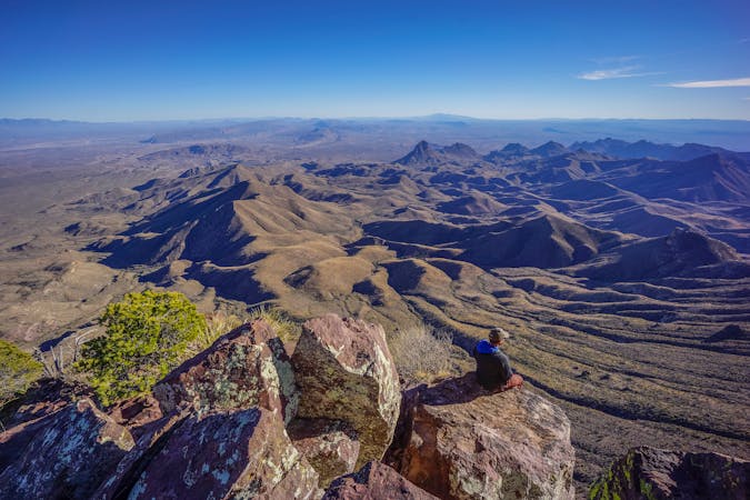
A stunningly-beautiful 11-mile loop with a summit of 8,368' Hunter Peak.
Hiking Difficult

While the majority of Guadalupe Mountains National Park hikers aim for the summit of Guadalupe Peak, a lucky few head in the opposite direction to summit Hunter Peak. This 11-mile loop route begins at the same trailhead as its famous counterpart but provides starkly different views and lots of solitude.
On a typical day in March, it is unlikely to encounter more than five other hikers, in contrast to 60 or more heading up to Guadalupe Peak! The majority of folks who travel the trails that comprise this loop are backpackers, but for fit hikers, the 11 miles is a perfect day hike.
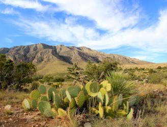
Guadalupe Mountains National Park is a hiker's paradise, with many miles of well-constructed and signed trails. Many routes begin just a quarter-mile from the park's campground, making it easy to do many hikes, including this one, directly from tent to trailhead.
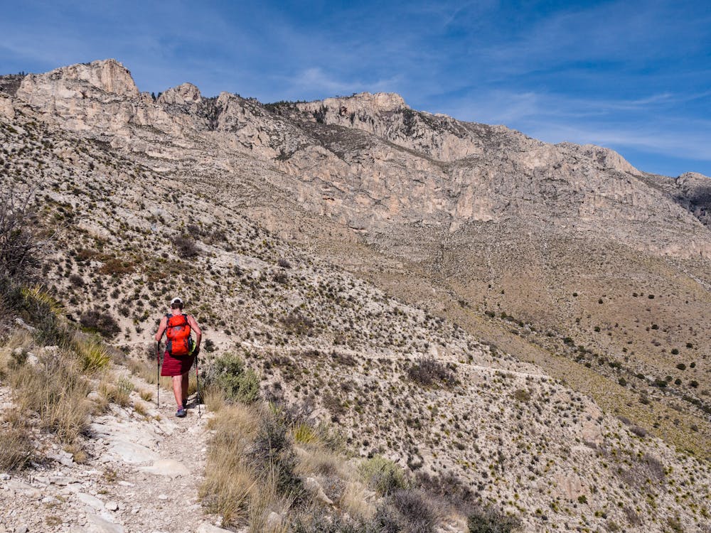
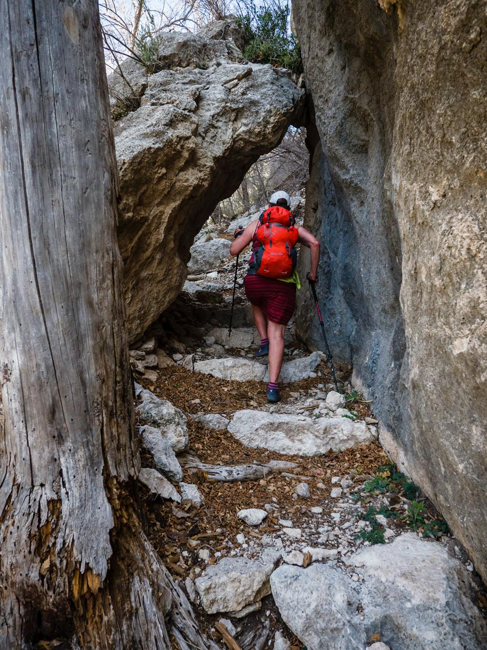
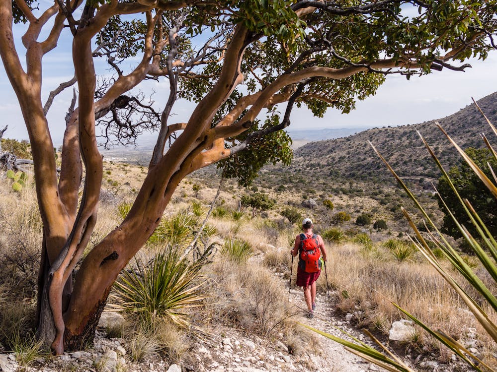
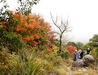
The route immediately diverges from the popular Guadalupe Peak Trail, heading right on the Tejas Trail, then following the Frijoles Trail through a large wash. The Frijoles Trail passes by some spectacular examples of the park's numerous "Texas Madrone" trees. These beautiful trees are becoming quite rare, but they thrive in the park, providing yet more evidence of the importance of National Parks.
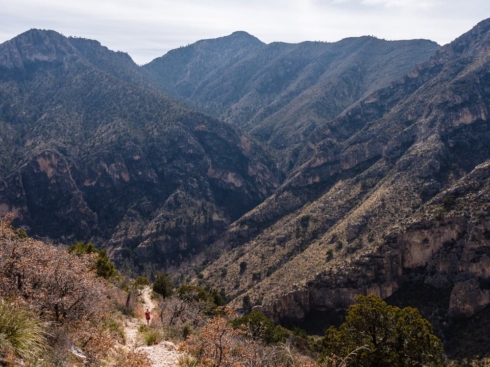
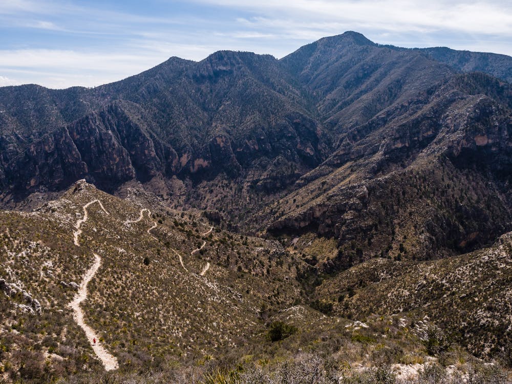
The Frijoles Trail wraps around down low as it leads away from the far more traveled Guadalupe Peak route and toward Bear Canyon. Enjoy the flat, open territory en route to the intersection with the Bear Canyon Trail. The Bear Canyon Trail is a steep one, but it is yet another beautifully designed and built park trail. This trail travels through shaded portions that are thickly covered in fallen leaves. The Bear Canyon Trail switchbacks relentlessly upward, but the views along the way make it all worthwhile!
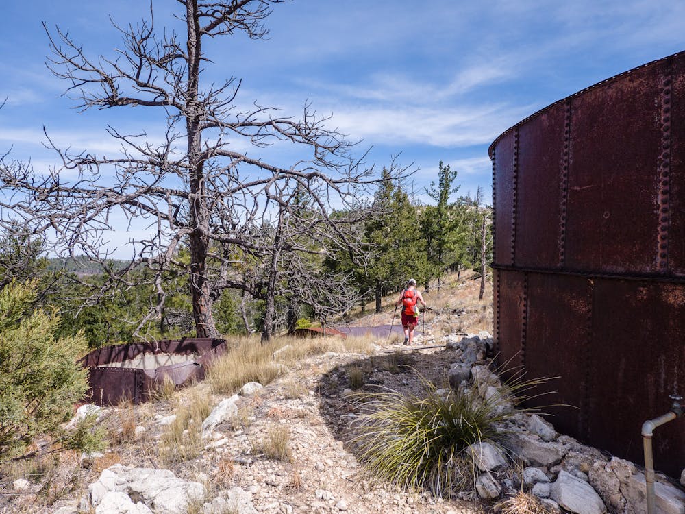
At the top of Bear Canyon, there are remnants of tanks to which ranchers in the distant past actually pumped water 2,200 feet up-canyon to water stock. The old pipes are seen periodically along the trail as it ascends. Contemplate the determination of humans and try to imagine looking at this environment and thinking, "Hmm, looks like a good place to raise cattle!"
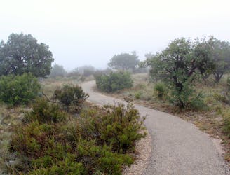
Once at Bear Canyon's high point, the terrain levels out, with evidence of past wildfire seen en route to the Bowl Trail. The Bowl Trail is a pleasant ramble and is mostly shaded as it passes through a forest.
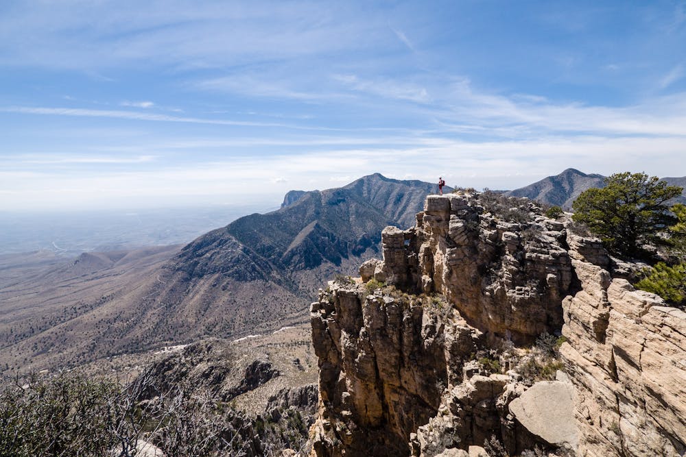
As the Bowl Trail comes to a 3-way intersection, head left for a short diversion to access the 1/4-mile ascent up to Hunter Peak's 8,368' summit. Enjoy the expansive views from this dizzying perch before returning to the intersection and beyond to the Tejas Trail.
The switchbacking descent on the gently graded Tejas Trail is truly a highlight of the trek! The trail provides a non-stop series of breathtaking views that illustrate the magnitude of the environment as it returns to the trailhead.
Difficult
Hiking trails where obstacles such as rocks or roots are prevalent. Some obstacles can require care to step over or around. At times, the trail can be worn and eroded. The grade of the trail is generally quite steep, and can often lead to strenuous hiking.

The trail contains some obstacles such as outcroppings and rock which could cause injury.

Little chance of being seen or helped in case of an accident.
1 m away
Hike to the highest point in Texas!
Difficult Hiking
2 m away
A must-do hike into a narrow canyon confined by steep vertical walls.
Moderate Hiking
641 m away
A paved and fully-accessible trail to the ruins of a stop along a historic mail route.
Easy Hiking
2.8 km away
A short hike through a desert oasis with two stunning springs, a riparian woodland, and plenty of wildlife.
Moderate Hiking
10 routes · Hiking
4 routes · Hiking
14 routes · Hiking

63 routes · Alpine Climbing · Hiking