Tyler State Park: Lakeshore Trail
An idyllic hike along the shores of a lake.
Hiking Easy
- Distance
- 3.3 km
- Ascent
- 23 m
- Descent
- 23 m
- Duration
- 0-1 hrs
- Low Point
- 134 m
- High Point
- 141 m
- Gradient
- 0˚

Tyler State Park is a small jewel of natural beauty located just north of the ugly urban sprawl of the city of Tyler, Texas. Unfortunately, the drone of nearby Interstate 20 provides a constant urban soundtrack to the natural beauty of Tyler State Park, but if you can manage to tune it out, you can still enjoy the serenity found within the park's protective borders.
Description
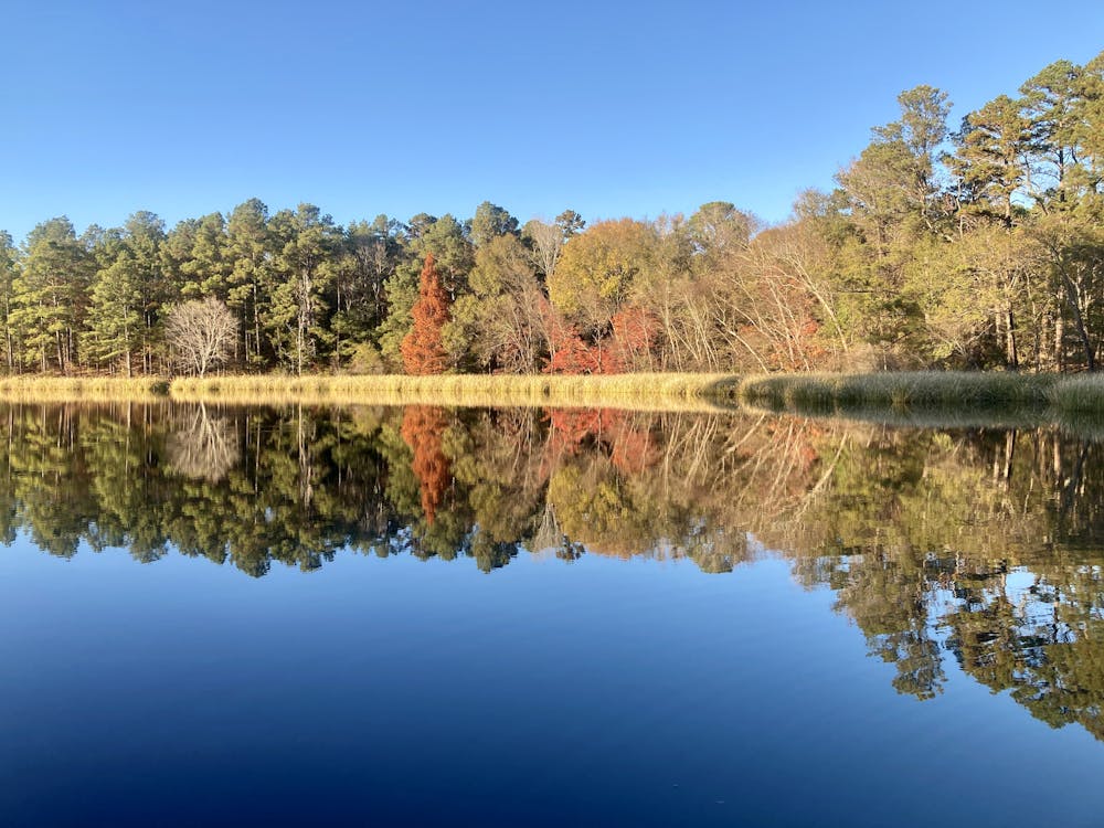
The best and most pleasant hike in the park is the Lakeshore Trail, which circumnavigates the small lake. On this flat, easy hike, you'll find yourself treading along the very shore of the lake, enjoying the sound and smell of the water, observing the hundreds of turtles sunning themselves on logs, and the many birds feasting on the bounty that the lake and the forest provide.
For most of its length, the rooty singletrack tries to stick right to the shoreline, but in places, it traverses wooden walkways, including a short bridge over a beautiful inlet filled with cattails and even more turtles.
Unfortunately, you will need to connect a short portion of the north side of the loop using paved roads and parking lots, but the connection is quick, and it makes for a rewarding loop hike with no doubling back.
If you haven't had your fill yet, you can head deeper into the woods in the large network of singletrack, which has been mapped in FATMAP as a mountain bike route titled "Tyler State Park Loop."
Difficulty
Easy
Walking along a well-kept trail that’s mostly flat. No obstacles are present.
Low Exposure

The path is on completely flat land and potential injury is limited to falling over.
Remoteness
Close to help in case of emergency.
Best time to visit
Features
- Wildlife
- Picturesque
- Water features
- Family friendly