FATMAP by Strava

Upper and Lower McKinney Falls

Enjoy a pair of gorgeous waterfalls dropping off of limestone ledges into serene pools below.

Hiking Moderate

Distance
1.8 km
Ascent
50 m
Descent
50 m
Duration
0-1 hrs
Low Point
142 m
High Point
160 m
Gradient
Upper and Lower McKinney Falls Map

McKinney Falls State Park is located entirely within the city limits of Austin, Texas, providing a beautiful escape from the metropolis. The park is best known for its two waterfalls, where Onion Creek drops off of two limestone ledges, crashing into serene pools of water below. These gorgeous falls are popular stops for photographers and sightseers alike, and it's well worth taking the time to soak in this incredible natural landscape.

Description

The hiking between the two waterfalls is quite easy, and this round-trip hike only covers 1.1 miles in total. You will have to negotiate some rocks and roots and a few short hills, but most everyone will be able to enjoy this serene hike.

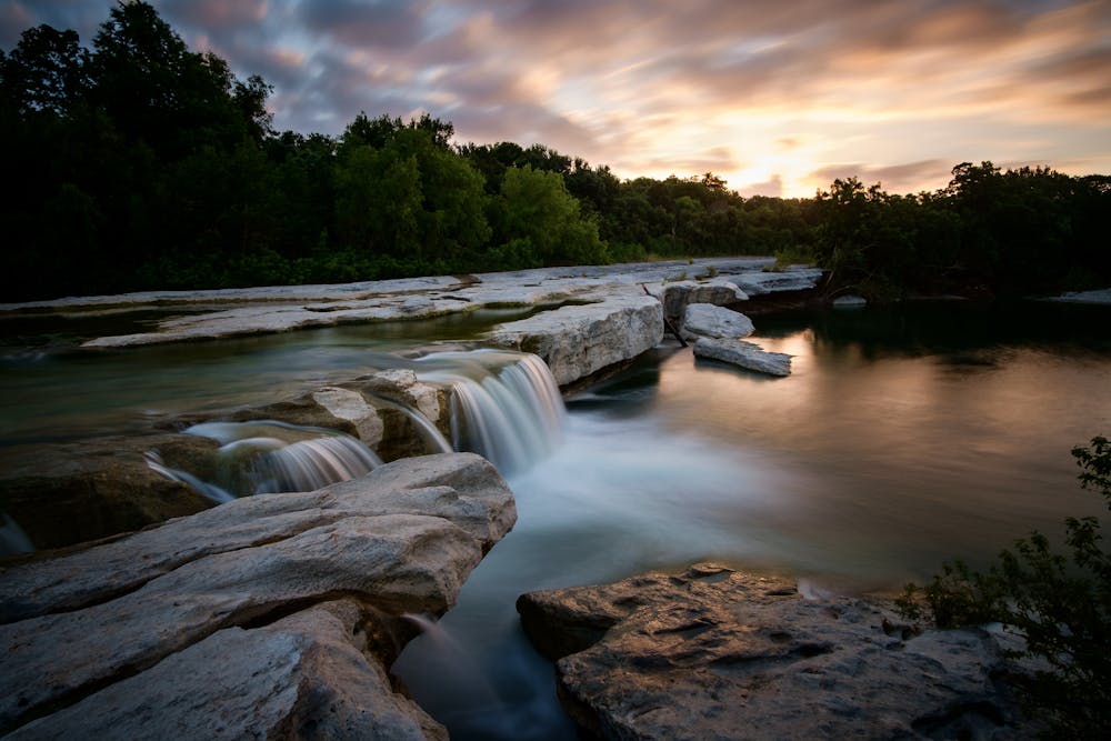
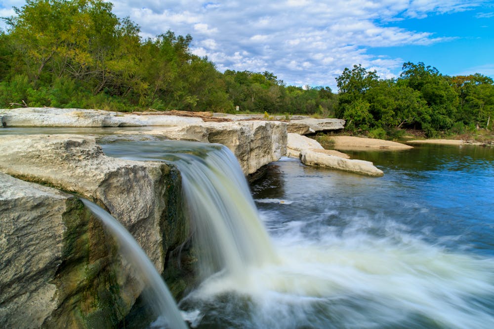
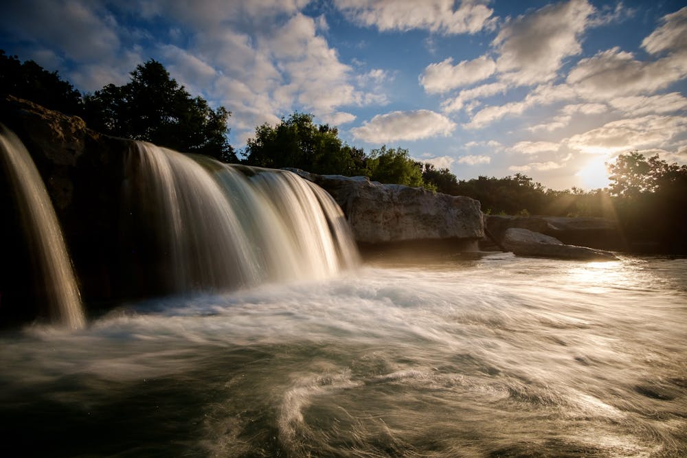
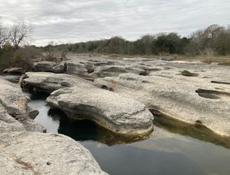
Near both of the falls, you have the opportunity to walk out onto limestone ledges and slabs to get a closer look at the cascading water. Take care if you do, as any section of rock that's wet can be very, very slippery. With the nearby elevated rock ledges, a fall can be quite dangerous, even on this mellow hike.

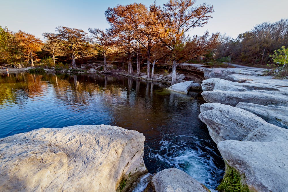
If this trail seems too rough for you, try out the paved Onion Creek trail instead. And if you're looking for more mileage, head deeper into the trail system by crossing the lower waterfall and following the Homestead, Flint Rock, and Williamson Creek Overlook trails.

Difficulty

Moderate

Hiking along trails with some uneven terrain and small hills. Small rocks and roots may be present.

High Exposure

3 out of 4

Some trail sections have exposed ledges or steep ascents/descents where falling could cause serious injury.

Remoteness

1 out of 4

Close to help in case of emergency.

Best time to visit

between March and December

Features

  • Historical
  • Picturesque
  • Water features
  • Family friendly
  • Forestry or heavy vegetation

Similar routes nearby

Guidebooks in this area