12 routes · Mountain Biking
Tons of easy-to-advanced singletrack packed into an obscure green space in southern Dallas.
Mountain Biking Moderate

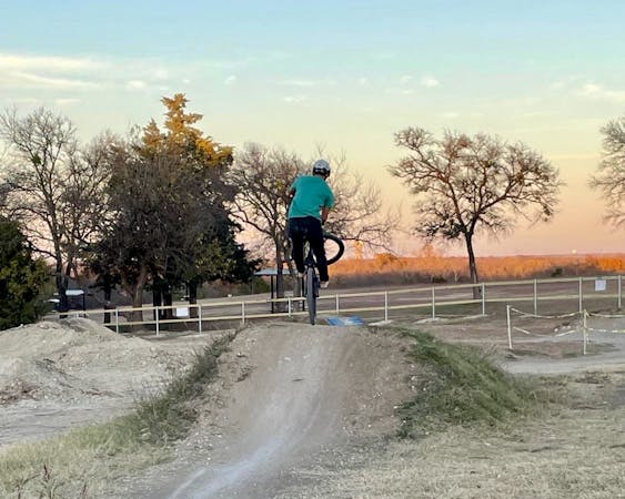
You'd be hard-pressed to find this many miles of trail tucked in such a tight plot of green space anywhere in the southwest, but DORBA managed just that. Resting on the northwest corner of I-35E and I-20, Boulder Park hosts 12 miles of trail with everything from beginner-friendly loops to advanced singletrack full of rock, fast flow through meadows, and even creek crossings depending on which trails you decide to hit. The stacked loops are well-signed and easy to follow, giving you the option to ride as little or as much as you'd like. Whether you're a long-time local or just traveling through, Boulder is a classic Dallas trail system that must be explored.
This route tours most of the trails, minus some of the alternate lines. The main loop is signed with red arrows that indicate the more technical lines such as steep drops, rocky climbs, or rock gardens. The blue arrows denote bypasses, and should you take them all, your ride would be 6 miles, not 12. As little of the park's trails are on the map other than what seen here, it's suggested to rely heavily on the signs to help you navigate, rather than a GPS device. Many of the trails circle back within feet of other loops and make navigation via device more difficult.
Parking for Boulder Park is available on Pastor Bailey Drive, due north of the mall and church. There is an unpaved parking area on the east side of the road and parallel parking on the pavement. Overflow is also allowed on Hallet and Calhoun street according to NTX Trails, but do not park in front of any of the church facilities. Neither water nor restrooms are available, so plan accordingly.
Moderate
Mostly stable trail tread with some variability, with unavoidable obstacles 8in/20cm tall or less. Other obstacles such as rock gullies and steep sections may exist. Ideal for lower intermediate riders.

The trail contains some obstacles such as outcroppings and rock which could cause injury.
Away from help but easily accessed.
12 routes · Mountain Biking