12 routes · Mountain Biking
Your perfect day trip to enjoy epic singletrack just outside of the DFW area.
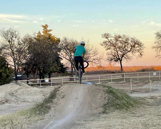
Mountain Biking Moderate

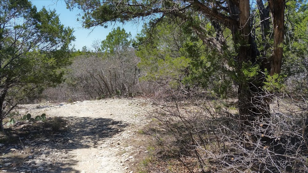
Dinosaur Valley State Park is, hands-down, one of the best places to ride bikes in north Texas. Remote, rocky singletrack trades places with limestone ledges and fast, open dirt roads for an epic tour of some of the hill country's best-maintained trails. Along the way, you'll enjoy panoramic views, challenging climbs, and unadulterated hillside flora as you tour one of the most diverse state parks in Texas.
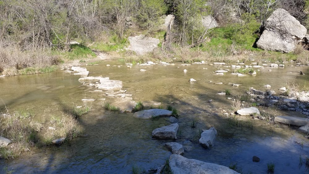
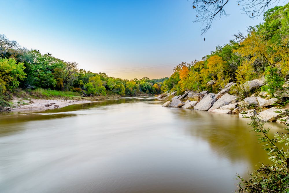
One of the most important things to know about this ride is that there is a major water crossing just moments into the route, and you'll finish with the same. During times of drought, you may be able to pedal your way through, or hop from boulder to boulder, but it's more likely you'll want to carry your bike across to be safe. During times of heavy rain and flooding, it can be quite challenging or dangerous to cross, though the limestone trails do tend to drain quickly.
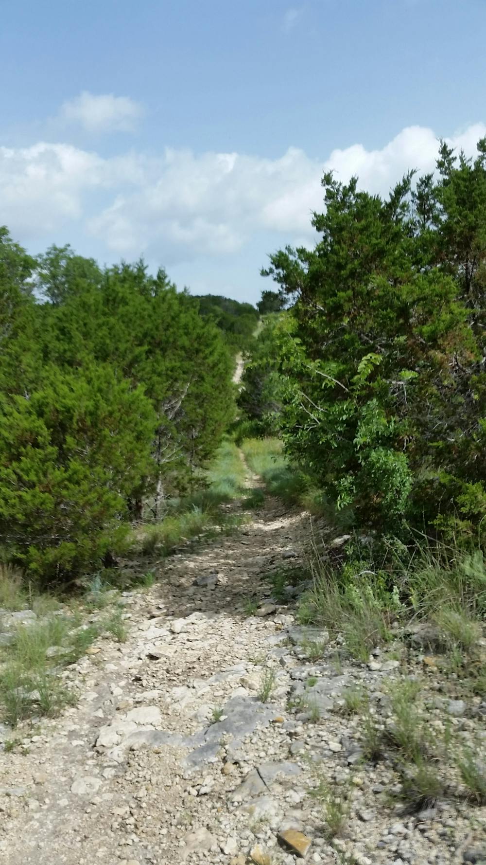
Following the crossing, you'll begin to notice small DORBA markers on some trees around eye level. These sign a well-designed loop meant to take riders up the best climbs, while enjoying some of the best rocky descents and limiting the amount of backtracking. Ridden in its entirety, you'll enjoy just under 12-miles and get a spectacular tour of the park that includes stair-like descents, fast downhill runs, winding singletrack, and even some great views along the way.
Overall the ride is somewhere between moderate and difficult, so expect to hike some of the more technical sections on your first visit. If you've been before and want to change things up, there are over 17 miles of trails open to bikes, and none are technically directional. In fact, most of the climbs are arguably just as fun downhill.
Should you have the time after your ride, consider hiking down to the Paluxy River Trail to explore the many dinosaur tracks that can be seen in the riverbed. According to the park, these tracks were "left in the mud at the edge of an ancient ocean," and the interpretive center within the park contains detailed information about the geological history of the area.
As with most Texas State Parks, a small fee is required to enter, or you could obtain a Texas State Parks Pass and enjoy other local favorites like Cedar Hill or Isle du Bois.
Moderate
Mostly stable trail tread with some variability, with unavoidable obstacles 8in/20cm tall or less. Other obstacles such as rock gullies and steep sections may exist. Ideal for lower intermediate riders.

The trail contains some obstacles such as outcroppings and rock which could cause injury.

Little chance of being seen or helped in case of an accident.
12 routes · Mountain Biking