12 routes · Mountain Biking
One of the most iconic mountain biking trails in North Texas.
Mountain Biking Moderate

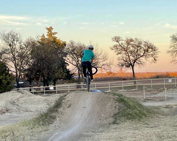
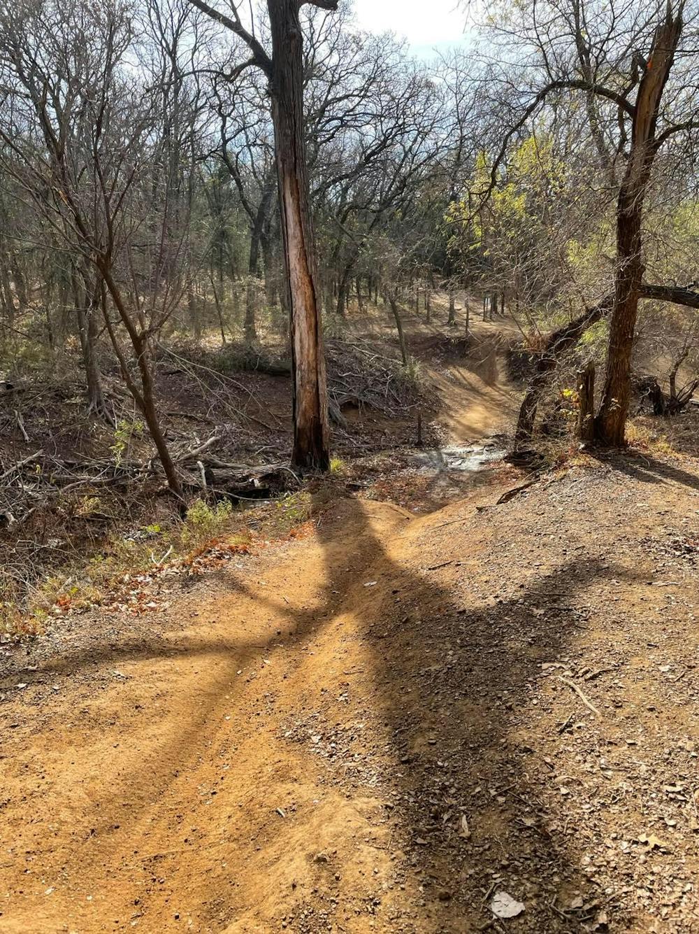
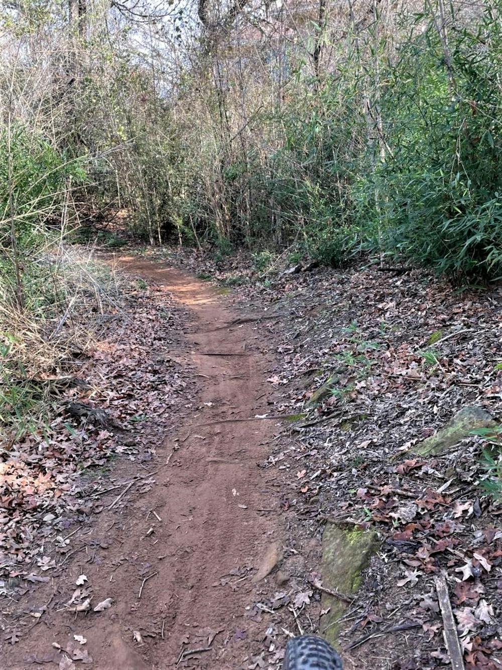
Northshore is one of the most recognized, recommended, and diverse mountain biking trails in the greater DFW area. Situated on the northern shore of Lake Grapevine, the trails tour rocky shorelines, sandpits, bamboo forests, and just about everything in between. Numerous access points, including nearby neighborhoods and parks, make it easy to hop on this loop wherever you'd like, and the stacked loop layout makes it easy to find your perfect ride no matter what you're into.
The trails are split into east and west sections, divided roughly by Murrell Park in Flower Mound. The east includes loops 1 through 4 for just over 12-miles of fast flow, punchy climbs, and moderate tech suitable for most levels of mountain bikers. It's a typically wider, more open trail with enough climbing to make a good workout that's still suitable for XC or SS rigs.
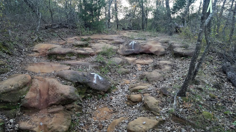
In contrast, loops 5 through 10 on the west side consist of 10 miles of rock, tree gates, and technical climbs and descents. According to NTX Trails, the west side "is not recommended you ride it alone for the first time unless you are a skilled rider who understands their limitations." A mid-travel full-suspension bike can award a little more fun on some of the rock gardens, but bear in mind you will still be pedaling a fair share. For those seeking out the most technical trail, the furthest loops west are as technical as you'll find in North Texas.
There are 5 major trailheads for Northshore: Murrell Park (aka MADD Shelter), Twin Coves Park, and Rockledge Park are the most popular points to access the trail, though all require a parking fee. Restrooms and water are available at each. Lakeside and Boy Scout Camp are the other two, with the prior accessible from town and a nearby bike shop. Both are free and offer access to loops 3 and 4 on the east side of the park.
As with any trail situated on a lake in Texas, flooding can be a problem during times of heavy rain. In fact, at different points in its life, Northshore has been given a full facelift by mother nature when much of its singletrack flooded. As such, please be respectful of the signage placed at the trailhead indicating whether the trails are open or closed.
Sources: https://ntxtrails.com/mtb-trails/northwest/northshore-trail/
Moderate
Mostly stable trail tread with some variability, with unavoidable obstacles 8in/20cm tall or less. Other obstacles such as rock gullies and steep sections may exist. Ideal for lower intermediate riders.

Some trail sections have exposed ledges or steep ascents/descents where falling could cause serious injury.
Little chance of being seen or helped in case of an accident.
12 routes · Mountain Biking