12 routes · Mountain Biking
A mixed surface greenway frequented by mountain bikers with nearby access to Isle du Bois.
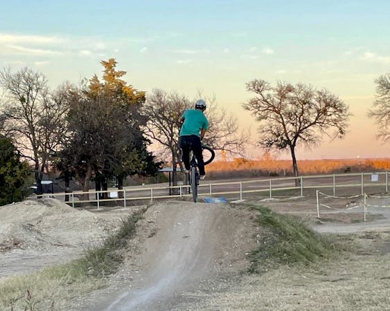
Mountain Biking Easy

The Ray Roberts Greenbelt is an 11-mile mixed surface path connecting highway 380 to Isle du Bois State Park. In contrast to most trails in the region, this ride is mostly wide, flat, and generally comprised of crushed limestone or dirt. Per this source, the greenbelt "is a great trail to introduce someone new to off-road trails who may not be ready for any elevation, singletrack, or anything even slightly technical." The southern end is 6.5 miles, while the northern end is 4.5, and access to the trails within the state park is available via a connector trail.
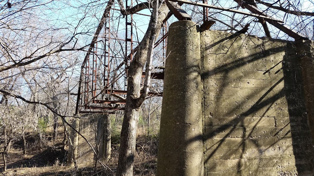
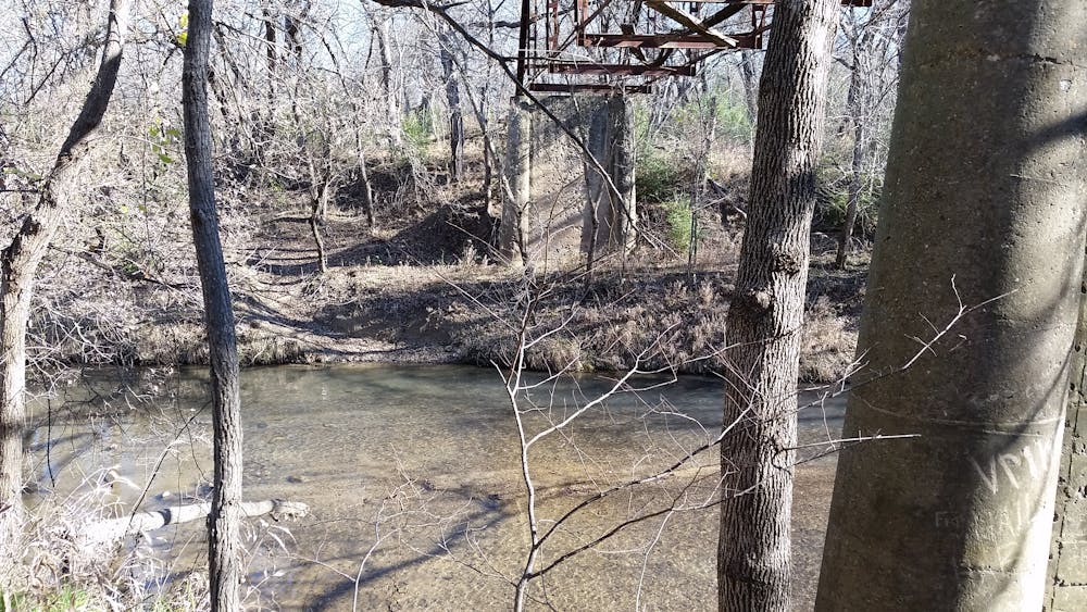
The southern trailhead is located on US-380 and contains no facilities. Plan to bring your own water and consider stopping in town if you need a restroom before your ride. Another trailhead is located on Sherman Road 6.5 miles in, and the northern trailhead is situated just below the lake's spillway. Not mapped, the connector trail links the northern trailhead into Isle du Bois State Park, where you could then enjoy some of the most technical and rocky terrain in North Texas.
As with most trails alongside rivers and creeks, the RRL Greenbelt is prone to severe flooding during periods of heavy or sustained rain. In fact, the southern end of the trail closed in 2015 due to flooding, but opened again in 2021. A small fee is required to use the trail, or you could obtain a Texas State Parks Pass and enjoy other parks within Texas including Cedar Hill or Caprock Canyons.
Source)(https://ntxtrails.com/mtb-trails/northwest/ray-roberts-greenbelt/)
Easy
Mostly smooth and non-technical singletrack with unavoidable obstacles 2in/5cm tall or less. Avoidable obstacles may be present. Ideal for beginner riders.

The path is on completely flat land and potential injury is limited to falling over.

Away from help but easily accessed.
12 routes · Mountain Biking