12 routes · Mountain Biking
A series of fast and flowing stacked loops mixed with some optional tech.
Mountain Biking Moderate

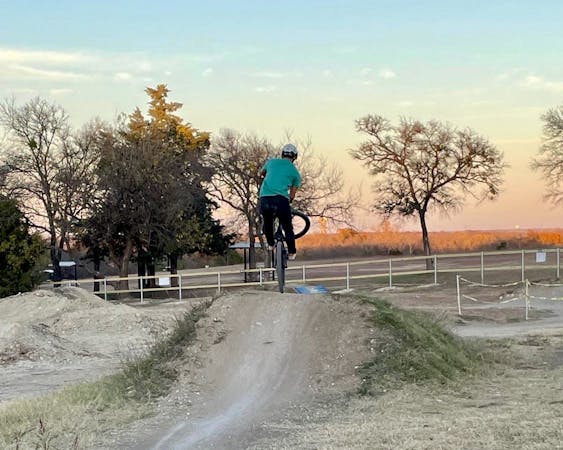
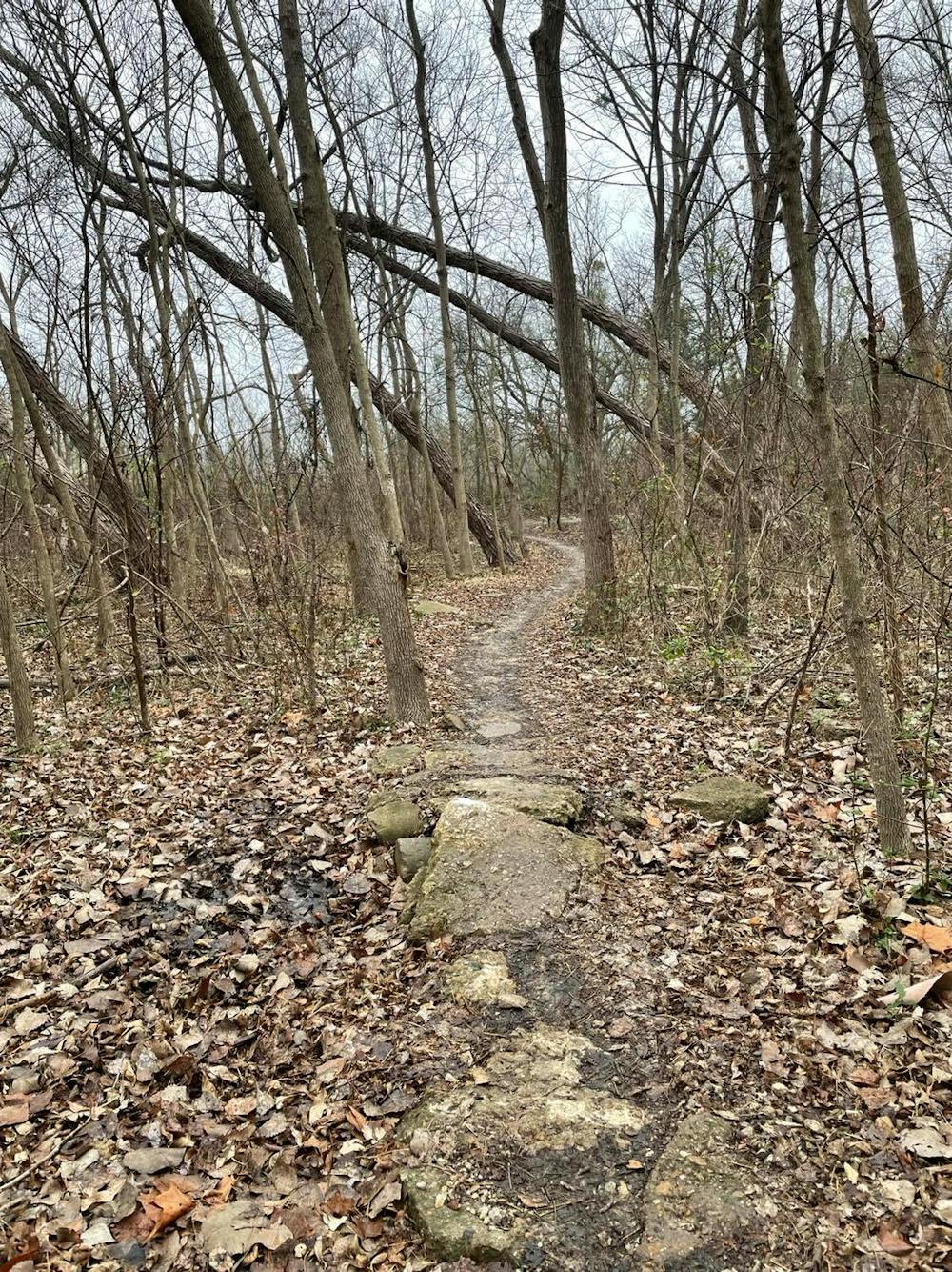
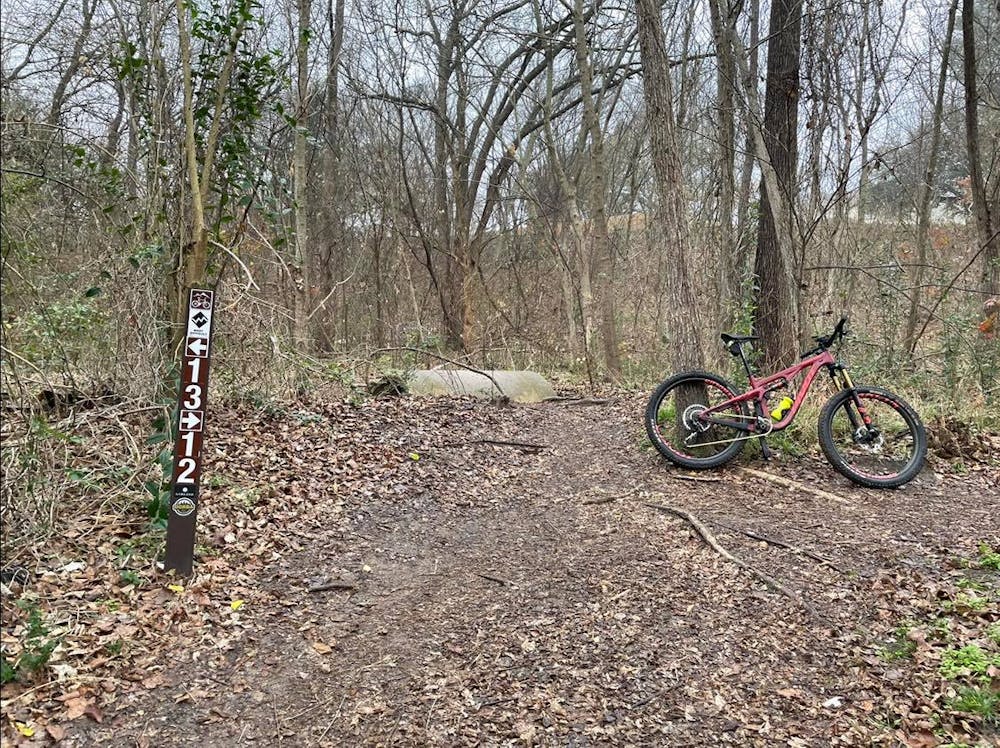
Rowlett Creek is one of the go-to areas for mountain bikers in the DFW area. Located in the eastern half of the county between Garland and Rowlett, a series of 14 stacked loops offers a little bit of everything: flow, tech, optional drops, rock gardens, and more. It's easy to navigate, well-signed, and you come by back time and time again and enjoy a different ride each time. RCP will quickly become one of your favorite trails in all of Dallas.
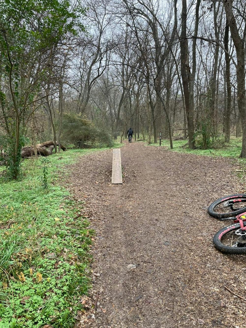
This loop begins with a fast warmup heading north on loop 1, then you have the option to ride loops 7 and 14. While more technical, short punchy climbs balance with rolling singletrack, and a couple of steep drops make a full-suspension a must. If you're looking for an easier, family-friendly ride, consider foregoing these 2 loops unless you're very confident in your riding abilities.
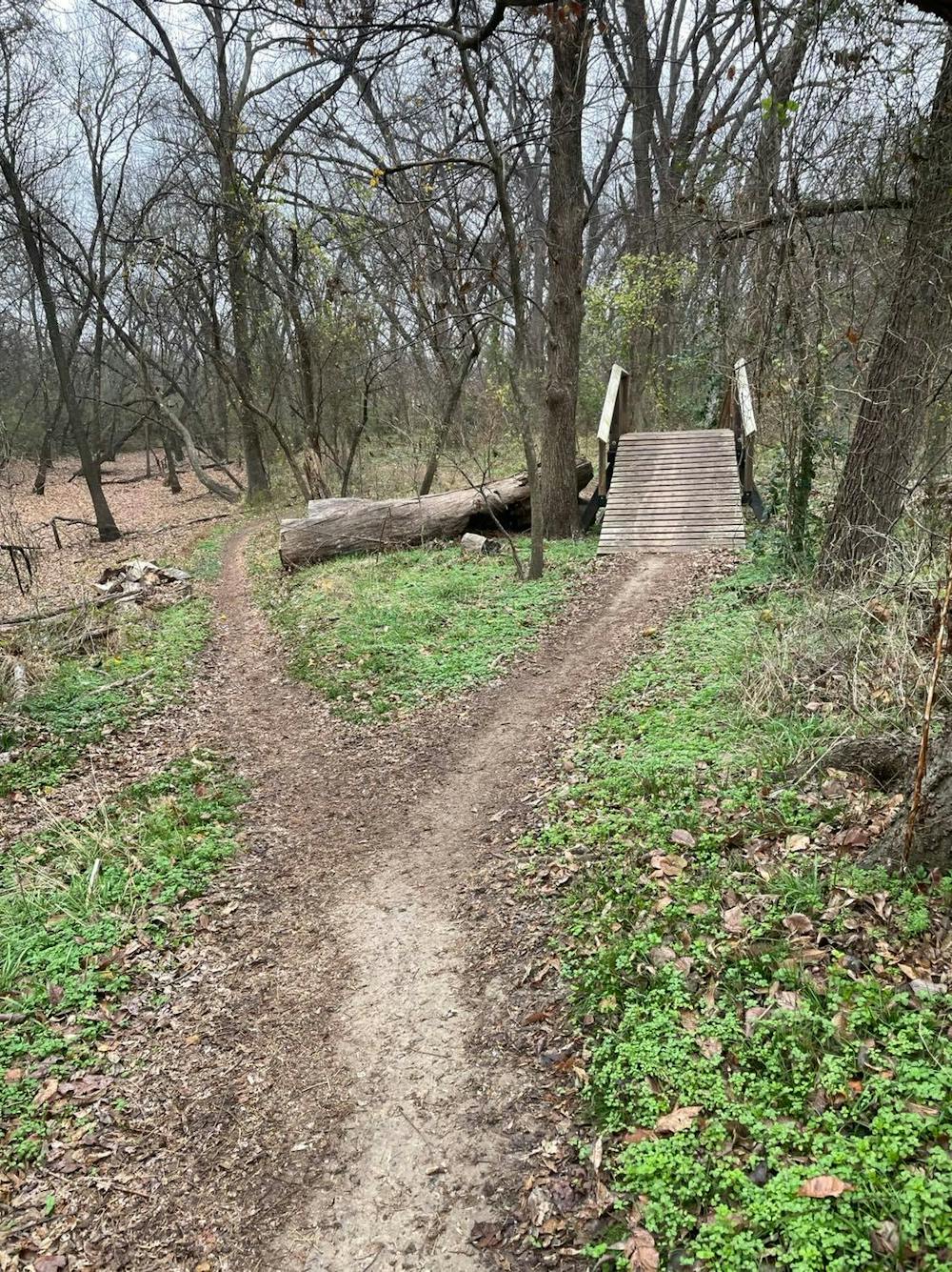
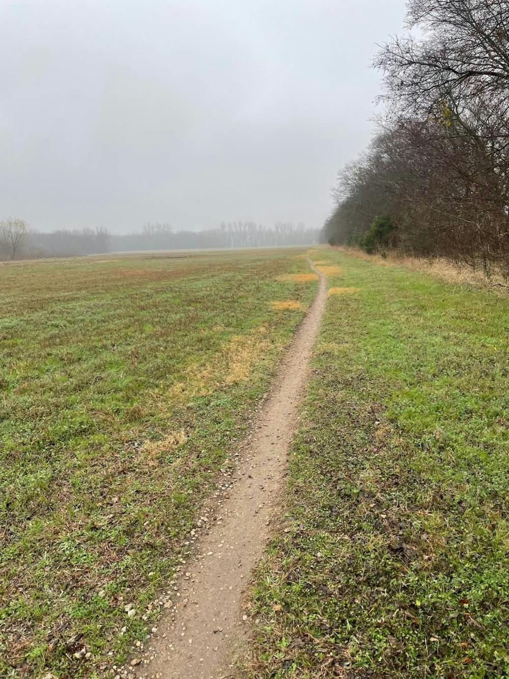
As you continue north, the trail follows a greenspace corridor on trails 8 and 9 bound for loop 13. As before, loop 13 is a bit more technical as you wind through a field of rock scree and broken concrete. Consider foregoing 13 if you're looking for an easier ride. Rounding out the ride, loops 10, 11, and 12 are all fast and mellow as you spin back south and follow the trail along the riverside.
The trailhead for the RCP trails is located off of Centerville Road between Firewheel Parkway and Lakeview Parkway. It's just a short drive from the George Bush Turnpike or Interstate 30, making it easily accessible for many of the surrounding suburbs. A tool station, water spigot, and portable toilets are available year-round, though the water may be turned off during the colder months.
As with many of the trails in the DFW area, Rowlett Creek was built - and managed by - DORBA (Dallas Off Road Bicycle Association). As such, the trails may close following rain or flooding, especially since much of RCP is located along the edge of the creek. Please give the trails adequate time to dry and respect any trail closure signs you may encounter.
Moderate
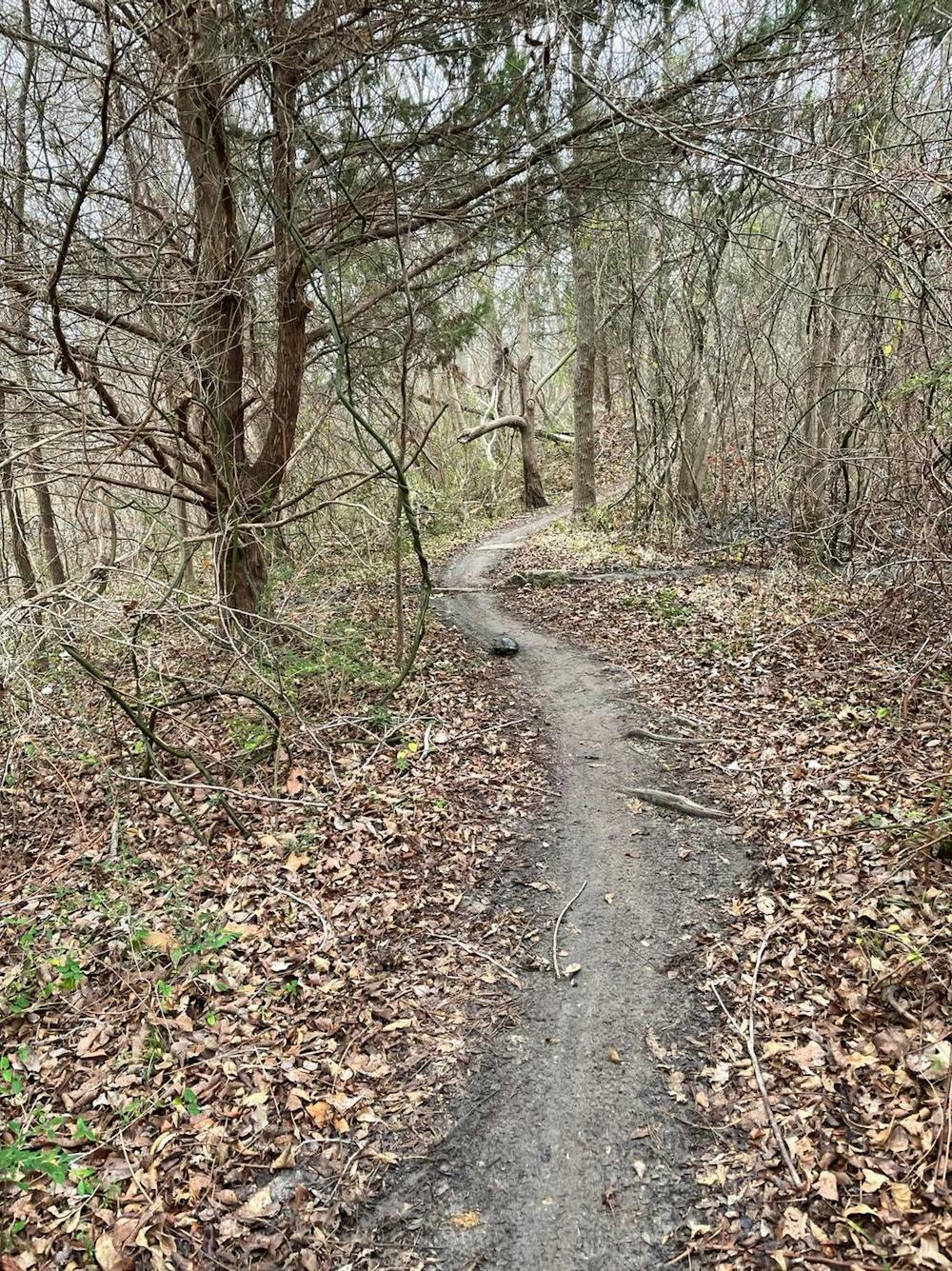
Mostly stable trail tread with some variability, with unavoidable obstacles 8in/20cm tall or less. Other obstacles such as rock gullies and steep sections may exist. Ideal for lower intermediate riders.

The trail contains some obstacles such as outcroppings and rock which could cause injury.
Away from help but easily accessed.
12 routes · Mountain Biking