Tyler State Park Loop
An old school cross country ride through Tyler State Park.s
Mountain Biking Moderate
- Distance
- 15 km
- Ascent
- 305 m
- Descent
- 305 m
- Duration
- 1-2 hrs
- Low Point
- 117 m
- High Point
- 179 m
- Gradient
- 3˚

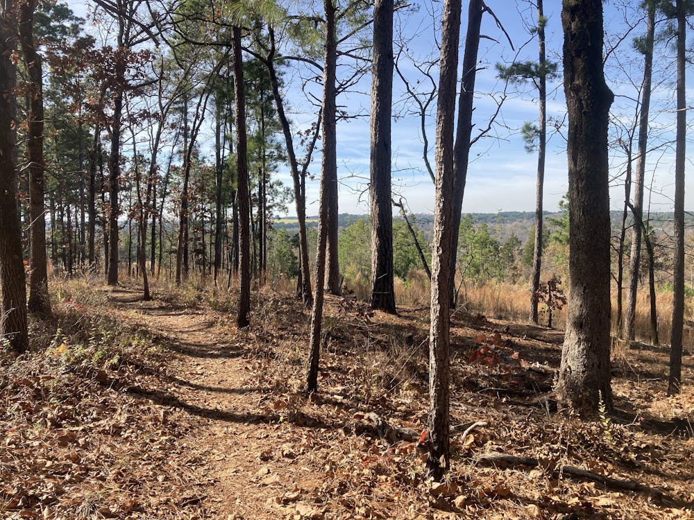
Tyler State Park has long been home to this series of interconnected loops of bike-legal singletrack. When you head out to ride them, you'll undoubtedly feel the age of the trails coupled with the lack of maintenance.
- •
- •
Description
This state park features a stacked-loop trail system, with the shortest and easiest trails located closest to the trailhead and the more difficult trails found deeper in the park. The trails close to the trailhead are sandy and flowy, providing a delightful entry into the network. As you head deeper into the park, the trails get a bit steeper and much rootier.
Granted, on a global scale, the "difficult" trails aren't much to write home about—thus, this ride only gets a 2 out of 5 in difficulty, or a "Moderate" FATMAP rating. However, some features deeper in the park might exceed this rating, but only due to lack of maintenance and only for brief moments. This is where the age of the trails comes into play.
As you ride the most remote sections, you'll find yourself rocketing along mostly-flat singletrack, rattling over root webs and small rock gardens. Then suddenly, the trail will drop into a ravine and rocket back out again, but the sudden, steep drops are all dramatically eroded, creating short descents riddled with dramatic root obstacles that have been exposed over the decades as the trail tread has eroded away.
However, these short technical challenges are over quickly, and it's usually right back to the mostly-flat singletrack. Riders who are uncomfortable with the difficult features punctuating this ride can easily get off and walk for a few seconds before hopping straight back on the bike.
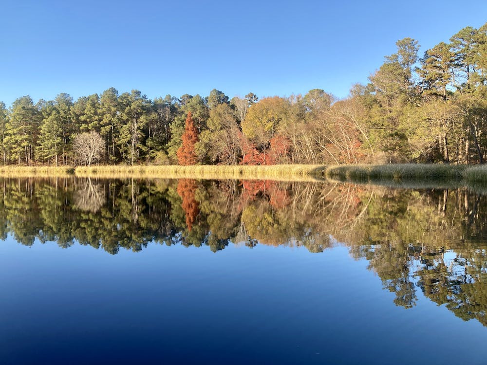
While the singletrack at Tyler State Park might not make it a destination in its own right, if you couple the singletrack mountain biking with camping in the pristine campgrounds and a day or two spent paddling on the idyllic lake, you might find yourself surprised at the beauty that can be found just north of the city of Tyler's ugly urban sprawl.
Difficulty
Moderate
Mostly stable trail tread with some variability, with unavoidable obstacles 8in/20cm tall or less. Other obstacles such as rock gullies and steep sections may exist. Ideal for lower intermediate riders.
Low Exposure

The path is on completely flat land and potential injury is limited to falling over.
Remoteness

Away from help but easily accessed.
Best time to visit
Features
- Flow
- Technical
- Singletrack
- Roots
- Rock Gardens