4 routes · Mountain Biking
One of the most heavily-trafficked trail systems in Austin.
Mountain Biking Moderate

Walnut Creek Metro Park is one of the most heavily trafficked trail systems in the Austin Metro Area. Mountain bikers swarm the trails here, but you'll also cross paths with hikers, trail runners, dog walkers, and the occasional family looking for a spot to picnic. All of the trails are two-way and multi-use, so you'll have plenty of opportunities to practice your trail etiquette and yielding to other trail users.
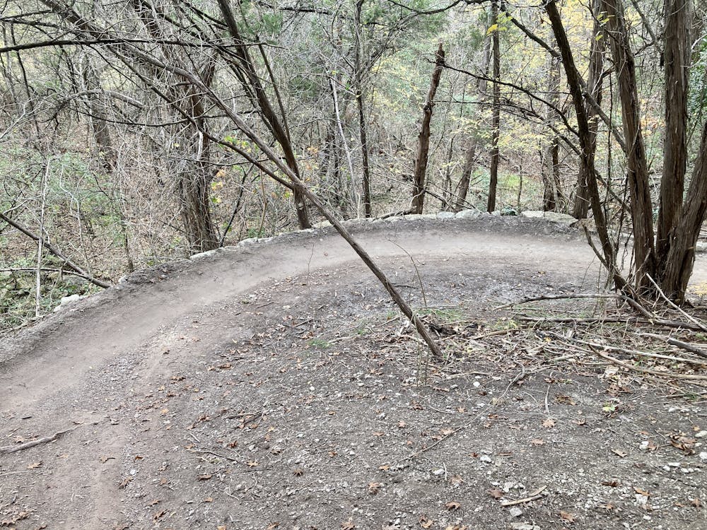
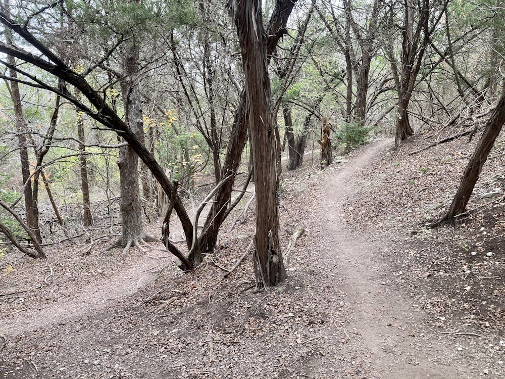
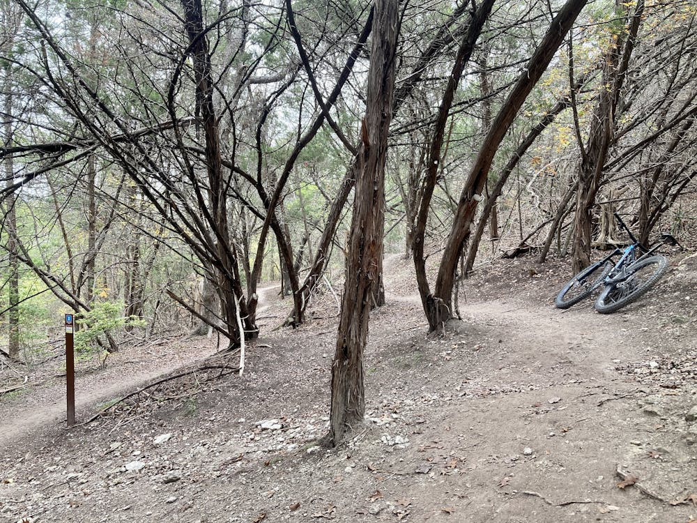
The trail system here is an absolute mess of singletrack, with poor signage that's difficult to navigate for the uninitiated. In fact, one zone in the network is named "Tangle of Trails," and the description is truly apt!
Mapped here, you'll find a recommended route for making the most of the trail system and experiencing some of the best and most rewarding trails that Walnut Creek has to offer. However, trying too hard to check the map and follow this route might not only jam up your ride, but will prove futile. The best way to experience trail systems such as this one is to make friends with a local and have them show you around... but of course, that's not always possible.
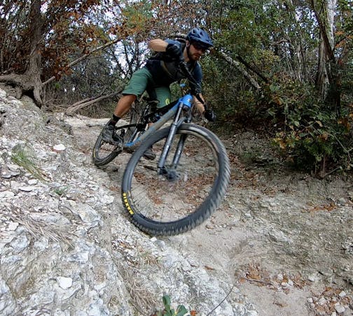
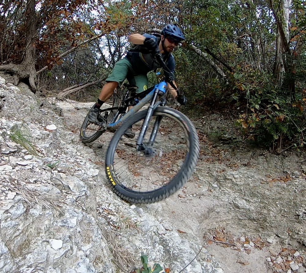
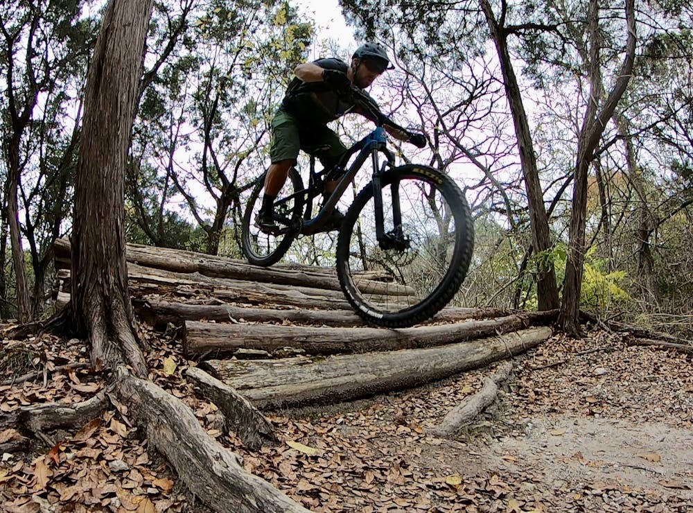
Most of the trails here are flat, smooth, and beginner-friendly. However, there are a few short, steep rocky drops down eroded chutes that advanced riders will enjoy... at least for about five seconds. The adrenaline is short-lived in these parts.
While riding at Walnut Creek has some downsides, this is the kind of trail system that will reward you as you visit it over and over again. Soon, you'll find the best combination of trails, figure out which trails connect well together, and discover hidden gems and alternate routes that aren't immediately discernible to the first-time visitor.
Austin's mountain bike scene is famous, and Walnut Creek is just one of many reasons why!
Moderate
Mostly stable trail tread with some variability, with unavoidable obstacles 8in/20cm tall or less. Other obstacles such as rock gullies and steep sections may exist. Ideal for lower intermediate riders.

The path is on completely flat land and potential injury is limited to falling over.
Close to help in case of emergency.
4 routes · Mountain Biking