Katy Trail
Explore the beautiful Katy Trail in downtown Dallas.
Trail Running Easy
- Distance
- 11 km
- Ascent
- 75 m
- Descent
- 75 m
- Duration
- 1-2 hrs
- Low Point
- 128 m
- High Point
- 170 m
- Gradient
- 1˚

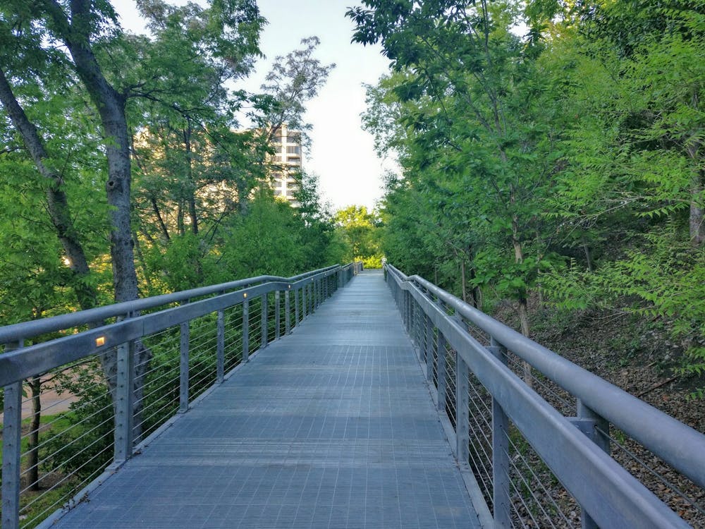
The Katy Trail was once an abandoned railroad line, but it has since been transformed into a beautiful greenway corridor running through the heart of Dallas, Texas! This beautiful pathway and park system is now one of the most popular destinations in Dallas and is constantly teeming with trail users.


- •
- •
- •
Description
This greenway is a popular cycling route, but it's also well-used by walkers, runners, skaters, and more—almost every type of human-powered trail user can be found on the Katy Trail.
The route shown here is a 7-mile out-and-back along the trail, but it is possible to create a much longer route by connecting to a myriad of other paved greenway paths here in Dallas.
Sources: https://katytraildallas.org/
Difficulty
Easy
Low Exposure

The path is on completely flat land and potential injury is limited to falling over.
Remoteness
Close to help in case of emergency.