5 routes · Mountain Biking · Hiking · Trail Running
An intermediate 8-mile trail run highlighting some of the best trails in Palo Duro Canyon.
Trail Running Moderate

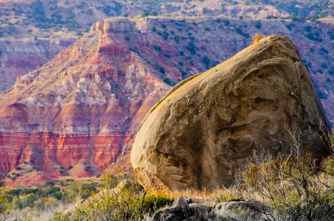
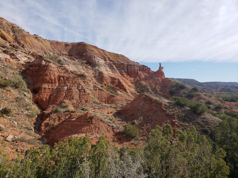
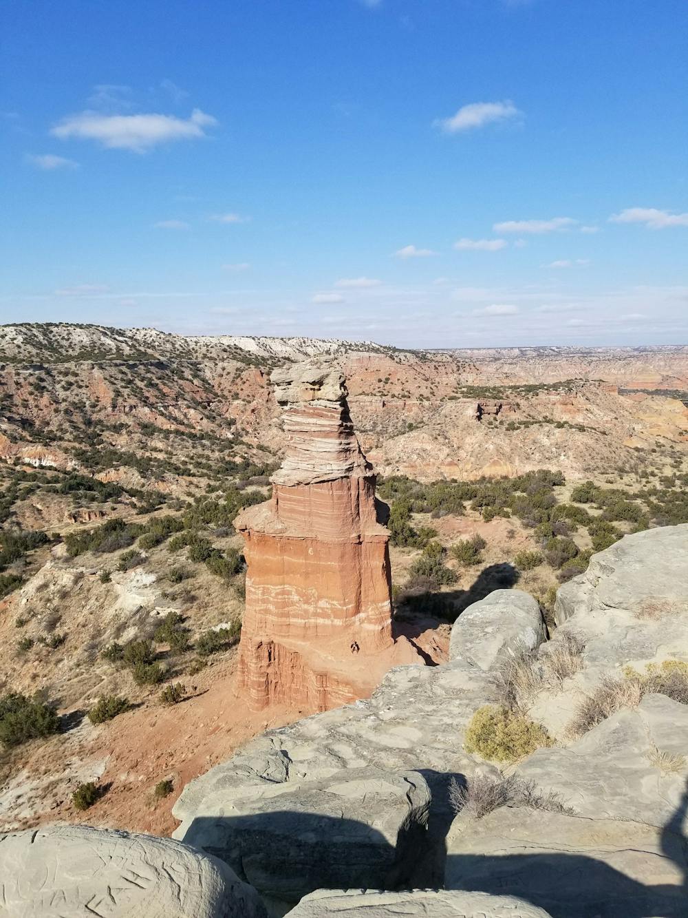
Palo Duro Canyon is a trail running paradise chock-full of vibrant red rock canyons, sandy riverbeds, and an array of stunning wildlife and flora. Beginning at either the Chinaberry Day Use Area or the Lighthouse Trailhead, this 8-mile trail run showcases some of the best trails the canyon has to offer. Portions of the route are also shared with the Palo Duro Canyon Trail Run, an annual trail race with distances up to 50 miles!
Chinaberry Day Use Area is the preferred place to begin this route since it has potable water, restrooms, and nearby picnic benches. There are also multiple campgrounds, both developed and primitive, scattered throughout the park. A fee schedule, including entrance fees can be viewed here.
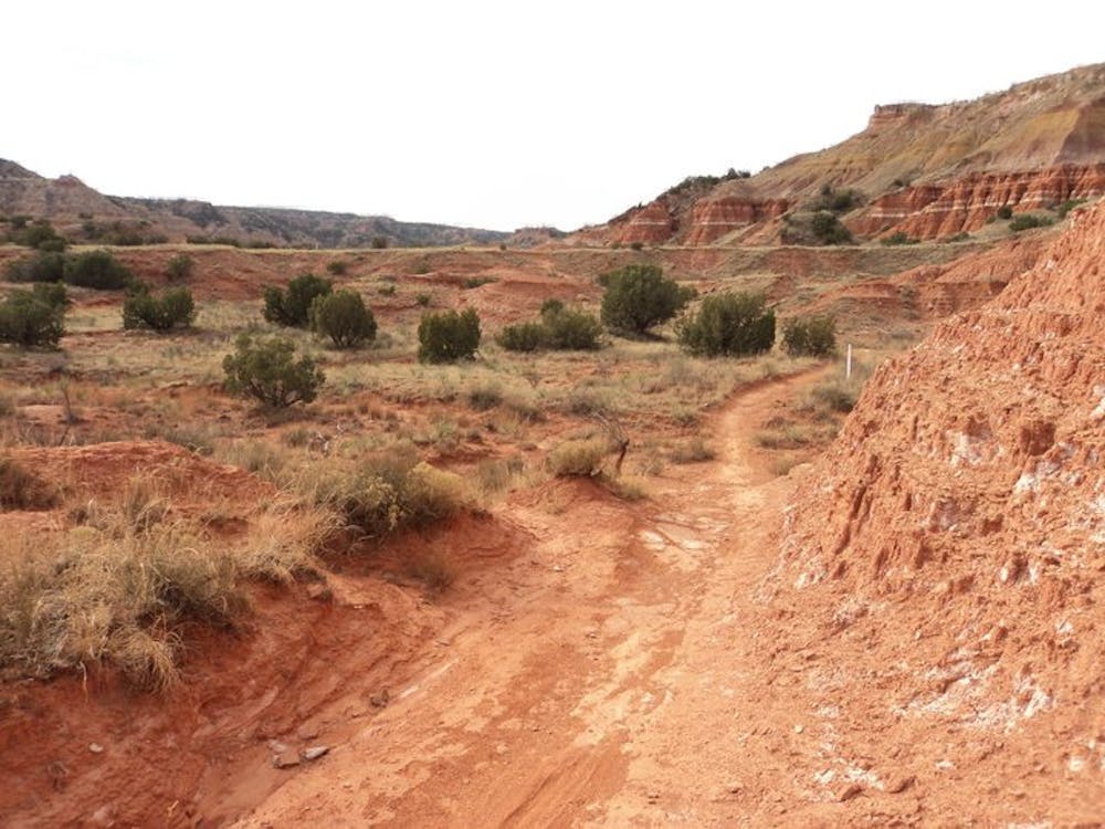
This loop is the most rewarding when run clockwise, warming up with a steady creekside run on Rojo Grande Trail, then circling back on Juniper Cliffside Trail. From there, you will pass through the Lighthouse Trailhead then meander around Capitol Peak northern slope before reaching a junction with GSL Trail (sometimes referenced as Givens/Spice/Lowry). From there, it is relatively straightforward as you make your way back to the trailhead and along stunning red rock mesas.
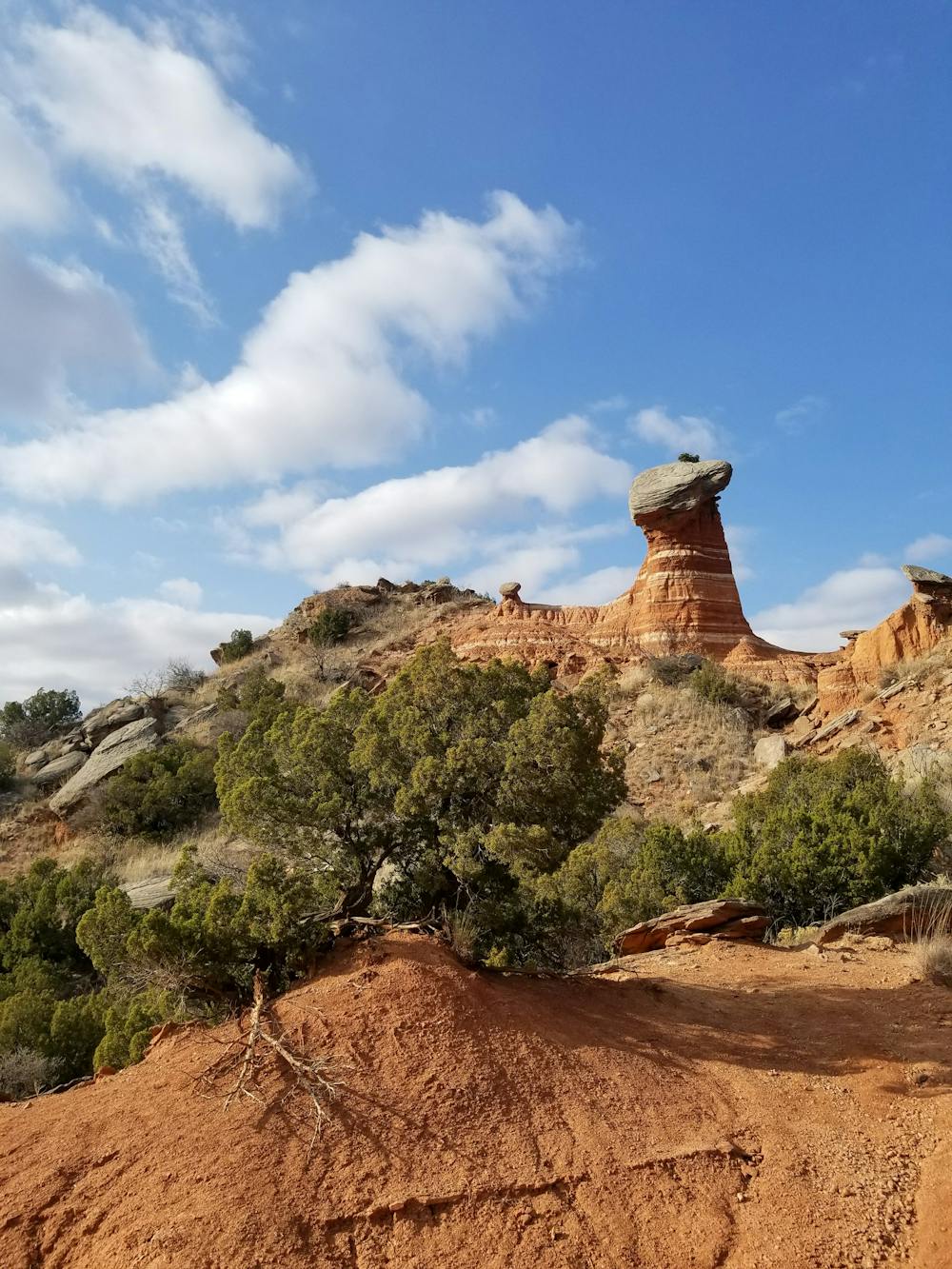
If your legs are feeling up for it, consider a side trip up the Lighthouse Trail, then climb your way up to the top for some of the most spectacular views in the park.
If you're looking for even more miles, consider tacking on the Sunflower Trail, or even Little Fox Canyon. Both are relatively flat as they wind their way through sandy washes and along grassy, brush-filled plains.
Note: Palo Duro Canyon can frequently reach over 100 degrees during the summer months and even into the early fall. There is no potable water on the trail, so plan an early start to your day and be sure to pack plenty of water in your hydration vest. In the summer, a handheld bottle will not suffice.
Moderate

The trail contains some obstacles such as outcroppings and rock which could cause injury.
Away from help but easily accessed.
5 routes · Mountain Biking · Hiking · Trail Running

17 routes · Hiking · Trail Running