7.3 km away
Neck Spring Trail
A 6-mile loop with a high “Wow!” factor.
Moderate Hiking
- Distance
- 8.9 km
- Ascent
- 232 m
- Descent
- 232 m
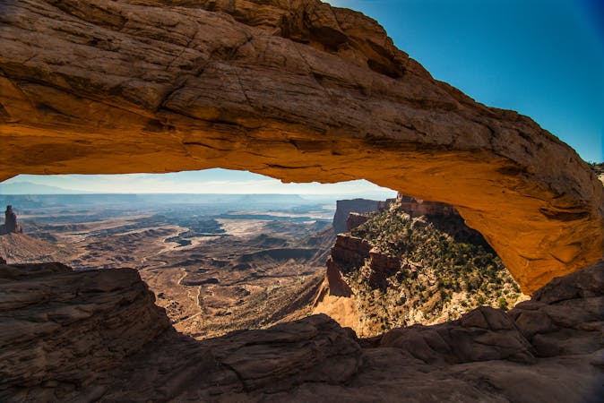
"One of the most photographed scenic vistas in the world!"
Hiking Moderate
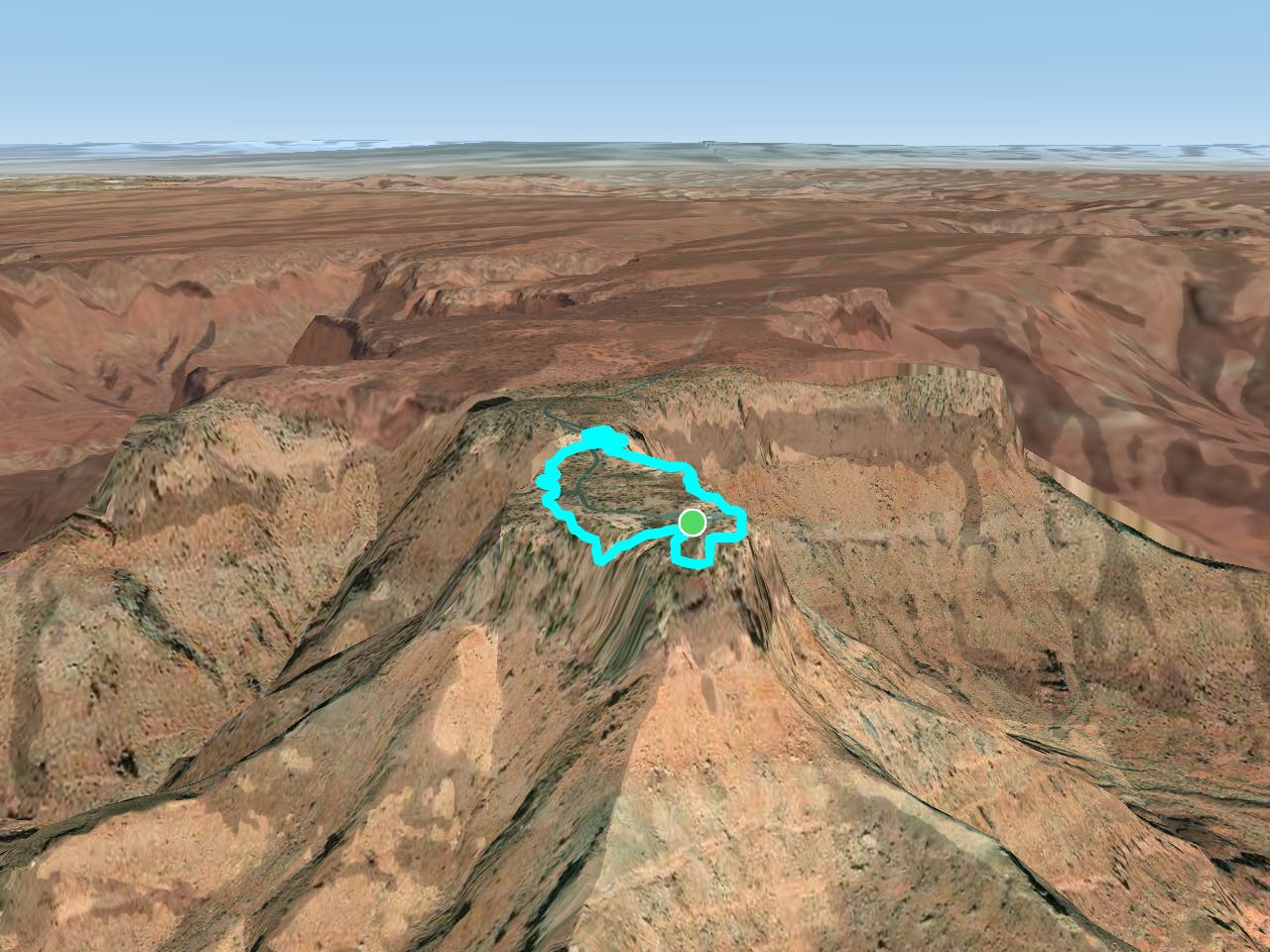
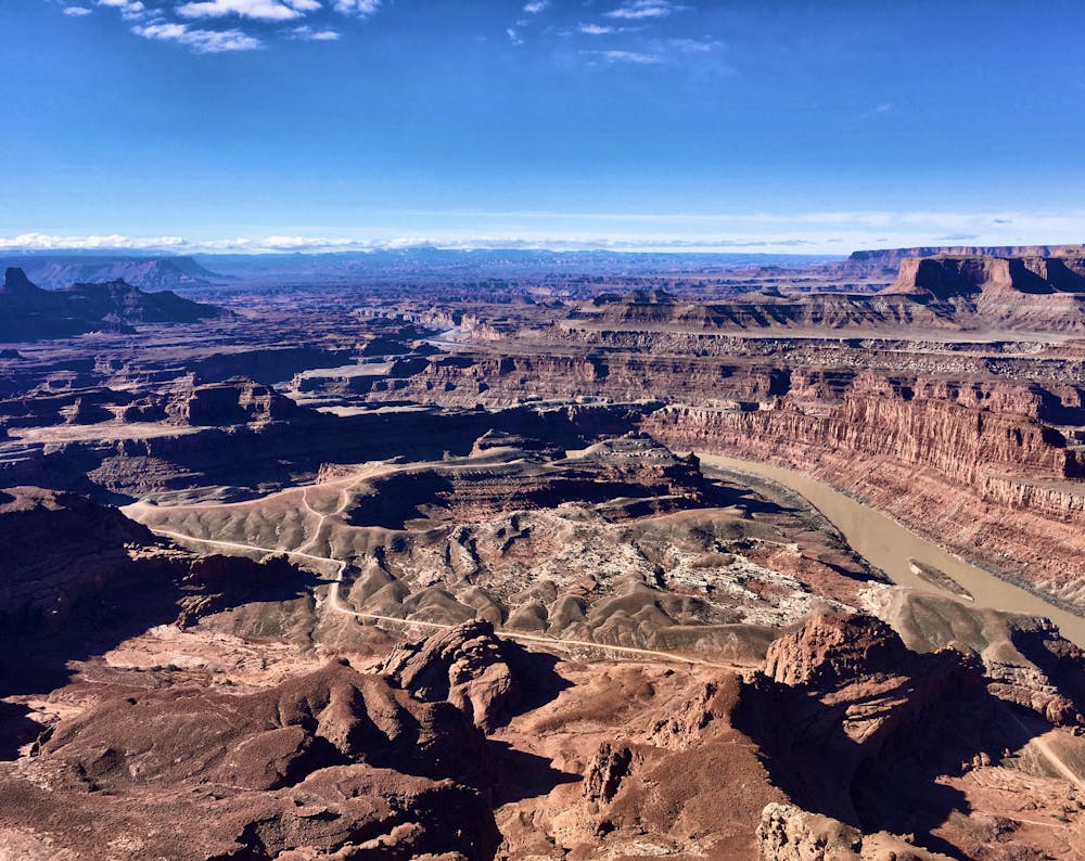
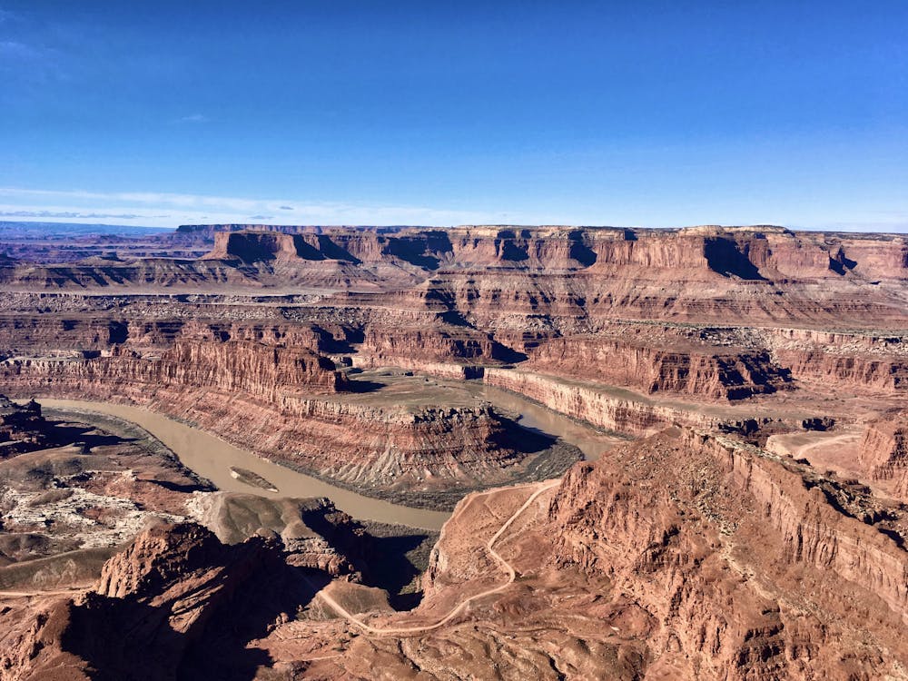
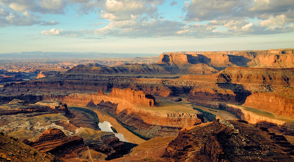
"Dead Horse Point State Park is one of Utah's most spectacular state parks," according to DiscoverMoab.com. "The view from Dead Horse Point is one of the most photographed scenic vistas in the world. Towering 2,000 feet above the Colorado River, the overlook provides a breathtaking panorama of Canyonlands' sculpted pinnacles and buttes." According to legend, the point was used by cowboys to corral wild mustangs. "The neck, which is only 30-yards-wide, was then fenced off with branches and brush," according to Utah State Parks. "This created a natural corral surrounded by precipitous cliffs straight down on all sides, affording no escape. Cowboys then chose the horses they wanted and let the culls or broomtails go free. One time, for some unknown reason, horses were left corralled on the waterless point where they died of thirst within view of the Colorado River, 2,000 feet below."
The short hike mapped here allows you to truly drink in this "breathtaking panorama" by viewing it from a variety of angles. This relatively flat hike is only one mile long, making it accessible to just about everyone!
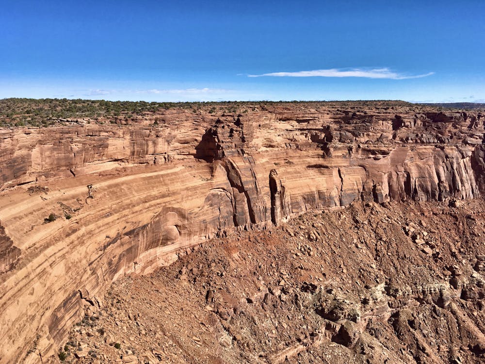
With that caveat in mind, do note that there are some rock steps to climb and descend in places. The East Rim trail is also more developed, with long stretches of flat pavement, than the West Rim trail. If you choose to complete the loop as mapped, the West Rim trail will traverse more natural dirt and rock terrain, requiring slightly more effort.
If you do choose to hike the entire loop, stop along the way to consider just how impressive these towering rock formations are, and how much the vistas of the region change as you walk around the point itself. Across the river, you will enjoy a unique perspective of Canyonlands National Park.
For a longer hike, instead of crossing the road at the neck, continue to follow the trail either along the East Rim or the West Rim. Traversing along the East Rim will bring you to the park's visitor center.
Moderate
Hiking along trails with some uneven terrain and small hills. Small rocks and roots may be present.

Some trail sections are extremely exposed where falling will almost certainly result in serious injury or death.

Close to help in case of emergency.
7.3 km away
A 6-mile loop with a high “Wow!” factor.
Moderate Hiking
14 routes · Hiking
4 routes · Mountain Biking · Hiking
8 routes · Hiking