1.8 km away
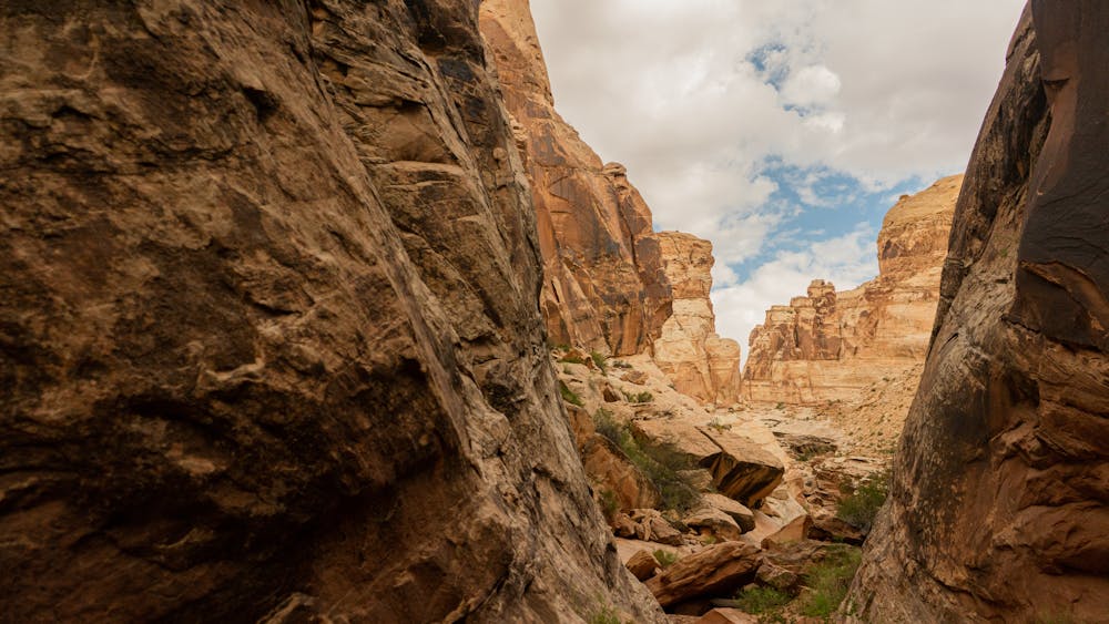
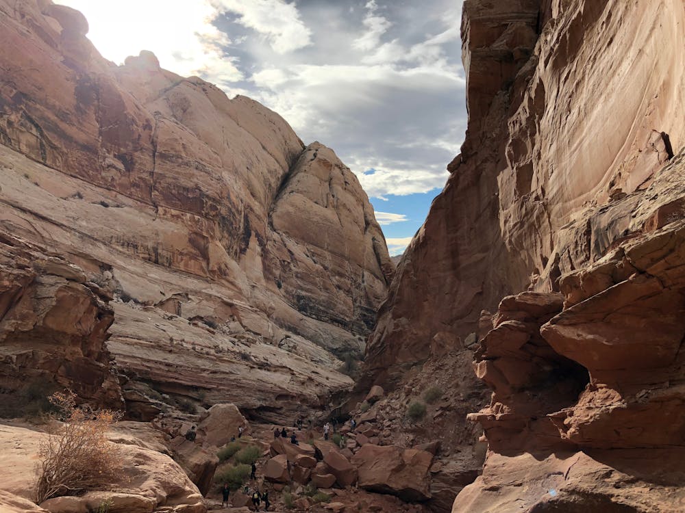
Little Wild Horse Canyon -> Bell Canyon Loop
Link two of the most popular canyons in the San Rafael Swell.
Severe Hiking
- Distance
- 13 km
- Ascent
- 456 m
- Descent
- 456 m
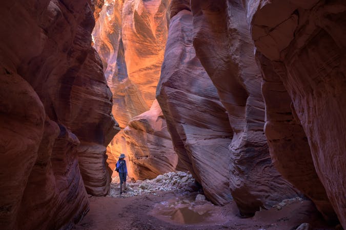
An incredibly aesthetic slot canyon loop.
Hiking Extreme

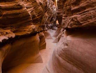
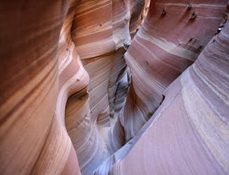
Ding and Dang slot canyons, also known as First and Second canyons, are located just down the road from Little Wild Horse and Bell Canyons. Ding and Dang might offer a shorter hike, but the traverse through the two canyons is a fair bit more technical than the hiking found in Little Wild Horse. However, these are still considered "nontechnical" slot canyons, as they don't require the use of specialized canyoneering/rock climbing gear.
These slot canyons are generally much narrower than Little Wild Horse, and a few spots can require some problem-solving to get through. You'll encounter chokestones, potholes that can harbor water pools at certain times of the year, dryfall downclimbs to negotiate, and rocky ledges to climb up and over.
The narrowest section of slot canyon is found in Dang canyon, and it "includes 4 or 5 boulders wedged above pools, creating drops of up to 3 meters," according to AmercanSouthwest.net. "The highest obstruction may need a rope to overcome though it is not too difficult to chimney down," they continue.
Before you hike into the canyon, be sure to check the weather to see if there's any indication that there might be any rain in the area. One of the most severe dangers in a slot canyon is the very real possibility of flash floods, with no way to escape. VisitUtah.com recommends that you "always check the weather before visiting any slot canyon. Even light, distant rainfall can render slot canyons extremely dangerous" due to flash floods. Always treat this wilderness landscape with the utmost respect.
Sources: https://www.visitutah.com/articles/non-technical-slot-canyons-roundup https://www.americansouthwest.net/slotcanyons/dingdang/canyons.html https://www.visitutah.com/things-to-do/slot-canyons/little-wild-horse-ding-and-dang
Extreme
Scrambling up mountains and along technical trails with moderate fall exposure. Handholds are necessary to navigate the trail in its entirety, although they are not necessary at all times. Some obstacles can be very large and difficult to navigate, and the grades can often be near-vertical. The challenge of the trail and the steepness of the grade results in very strenuous hiking. Hikes of this difficulty blur the lines between "hiking" and "climbing".

Some trail sections have exposed ledges or steep ascents/descents where falling could cause serious injury.

In the high mountains or remote conditions, all individuals must be completely autonomous in every situation.
1.8 km away
Link two of the most popular canyons in the San Rafael Swell.
Severe Hiking
1.8 km away
One of the easiest and most popular canyons in the San Rafael Swell.
Severe Hiking
9 routes · Hiking

10 routes · Alpine Climbing · Canyoning · Hiking