14 routes · Hiking
Hike around the base of some of Moab's most impressive rock spires.
Hiking Difficult

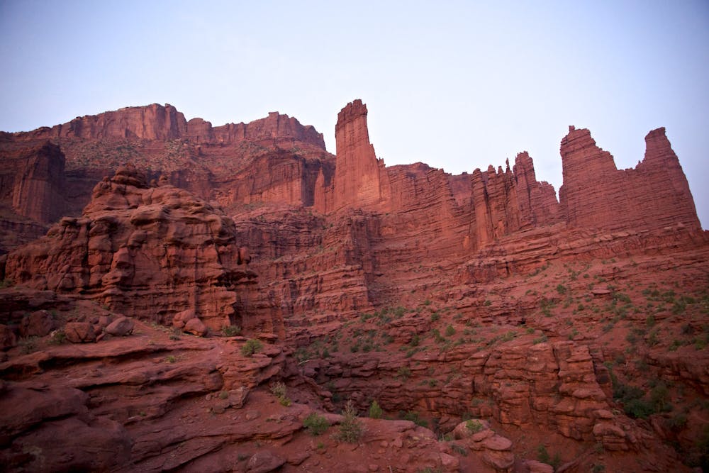
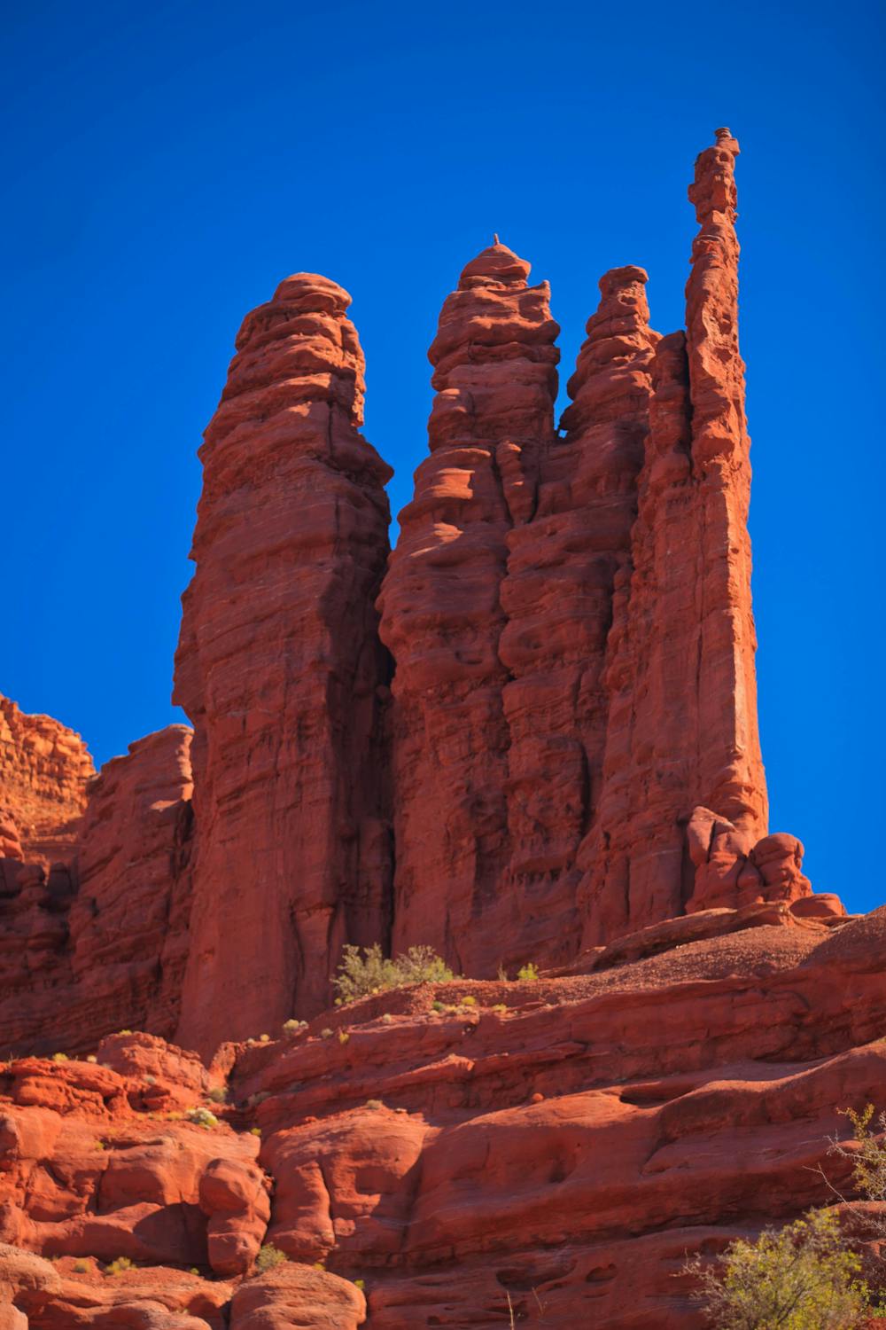
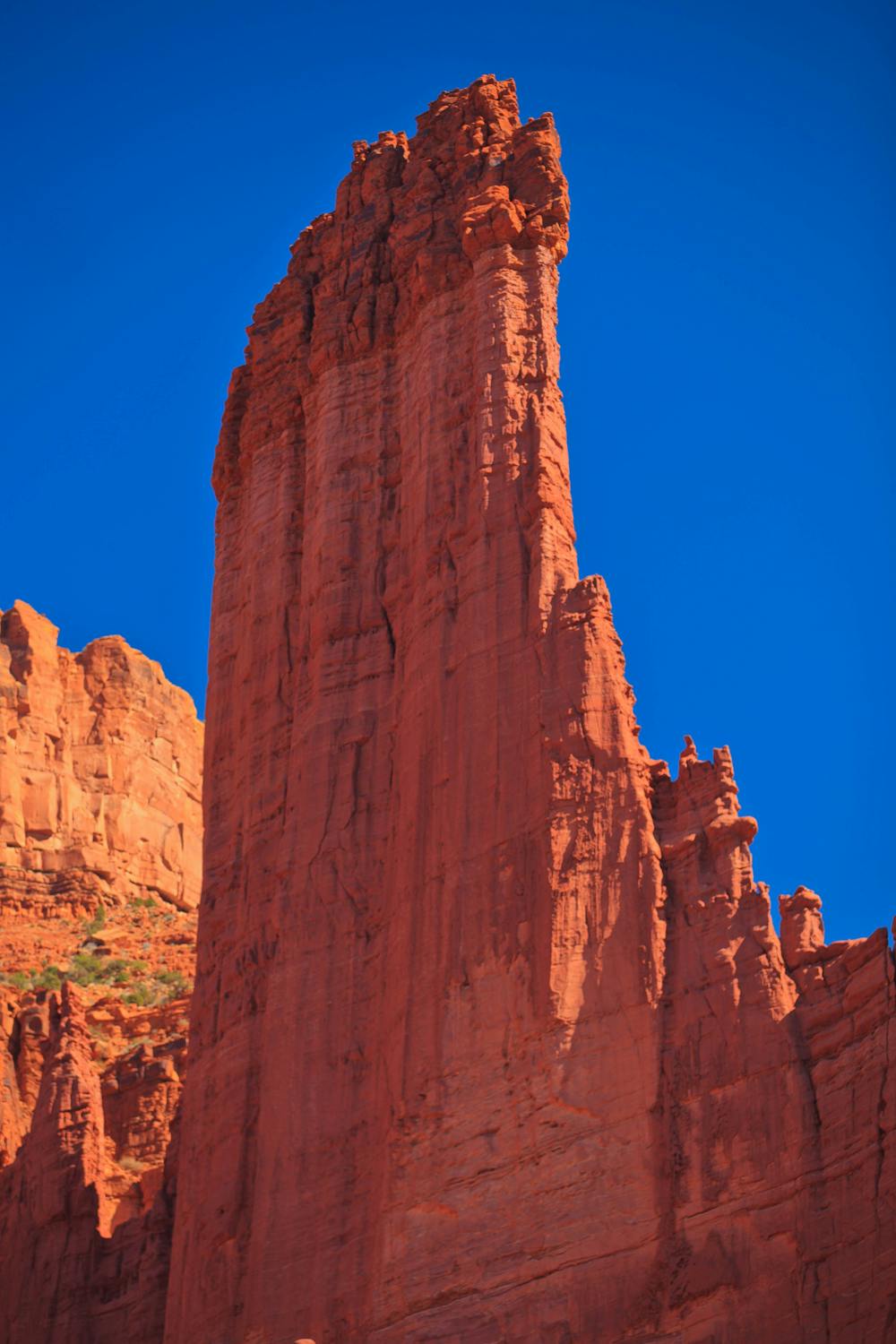
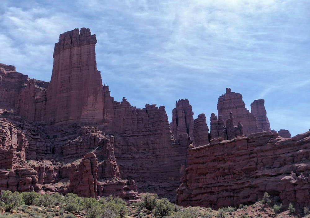
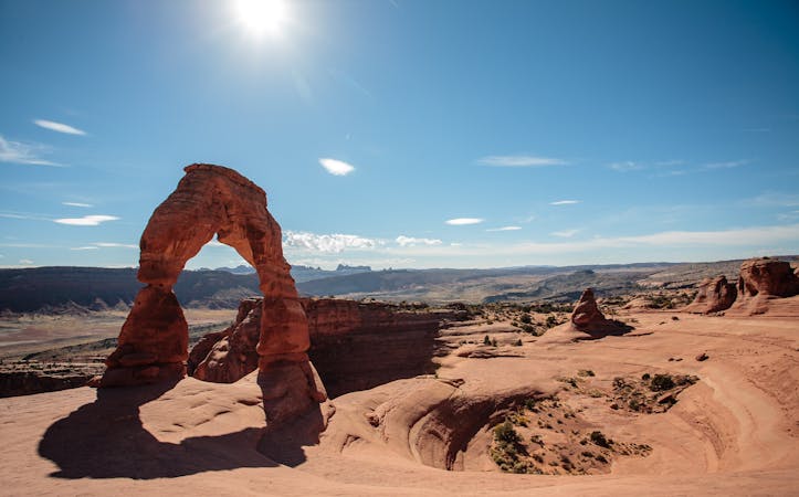
The Fisher Towers are some of Moab's most impressive rock spires. "The area is a maze of soaring fins, pinnacles, minarets, gargoyles, spires, and strangely shaped rock formations east of Moab," according to VisitUtah.com. "The towers, soaring monuments to erosion, are composed of dark red Cutler sandstone topped by harder Moenkopi sandstone and draped with mud curtains." This hike provides a plethora of different vantages to view the towers from.
This out-and-back route has a shorter optional loop and spur located at the beginning. Hikers who aren't committed to a full 5.2-mile round-trip hike may prefer to hike the short spur and located up and to the left from the parking lot. However, if you do embark on the full 2.6-mile one-way trail, realize that if you get tired, you can (and should) turn around at any time.
Along the way to its terminus, this trail twists between the rock towers, descending into canyons and climbing back out. The trail never works its way to the top of the cliffs, and thus is relatively flat and approachable overall despite a few short climbs and descents.
The Fisher Towers serve as an international destination for rock climbers who also use the trail to access various routes up the towers. Keep an eye out for climbers on the red rock cliffs as you hike. If you do see climbers near the bottom of a cliff, please give them space to work so they can maintain their focus.
If you reach the very end of the trail, you'll top out on "a rounded rocky knoll with more fabulous views," according to VisitUtah. The return trip is quick since it's almost all downhill.
Difficult
Hiking trails where obstacles such as rocks or roots are prevalent. Some obstacles can require care to step over or around. At times, the trail can be worn and eroded. The grade of the trail is generally quite steep, and can often lead to strenuous hiking.

Some trail sections have exposed ledges or steep ascents/descents where falling could cause serious injury.
Little chance of being seen or helped in case of an accident.
14 routes · Hiking