1.4 km away
Taylor Creek Trail
Pleasant hike to a natural stone amphitheater in the less-crowded Kolob Canyons area of Zion National Park.
Moderate Hiking
- Distance
- 7.9 km
- Ascent
- 225 m
- Descent
- 225 m
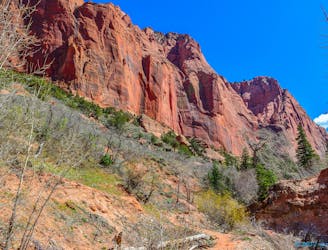
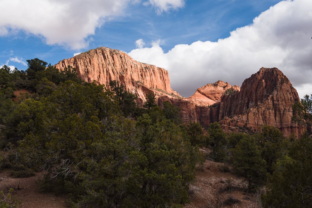
Beauty in the northwestern corner of Zion.
Hiking Easy

Access to the La Verkin Trail is at the Lee Pass trailhead, located 3.5 miles past the Kolob Canyon Visitor Center. Be aware that this trail limits group size to twelve people.

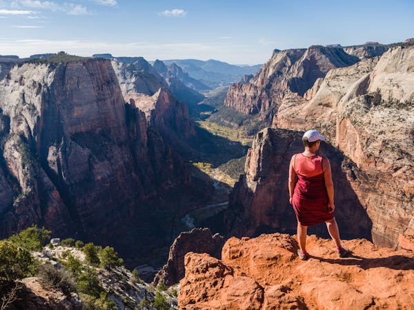
Zion National Park is more than just the Zion Canyon Scenic Drive. Though the park is best-known for iconic hikes accessed from the Scenic Drive, such as Angels Landing and The Narrows, treks from the outermost edges have a definite appeal.
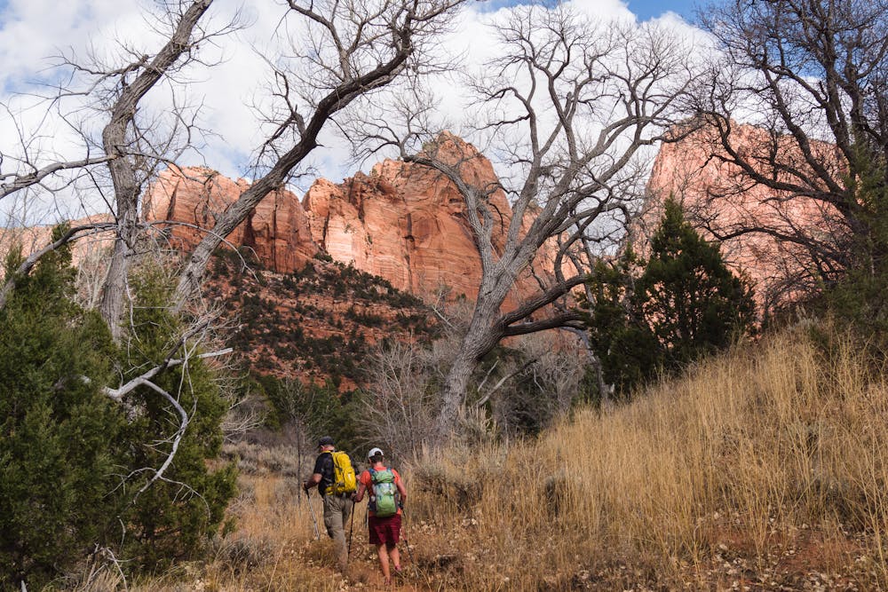
The northern end of Zion, a 45-minute drive away from Zion Canyon Village, can be considerably cooler than the Springdale area and provides some very different views. The vastness of the park becomes evident when driving from one end to the other. Though the Kolob Canyons portion of the park may be rather far removed from the center of the park, due to easy access from I-15, trails can still be quite crowded, particularly on weekends and holidays. Choosing a weekday in November is a good way to have a more remote-feeling experience.
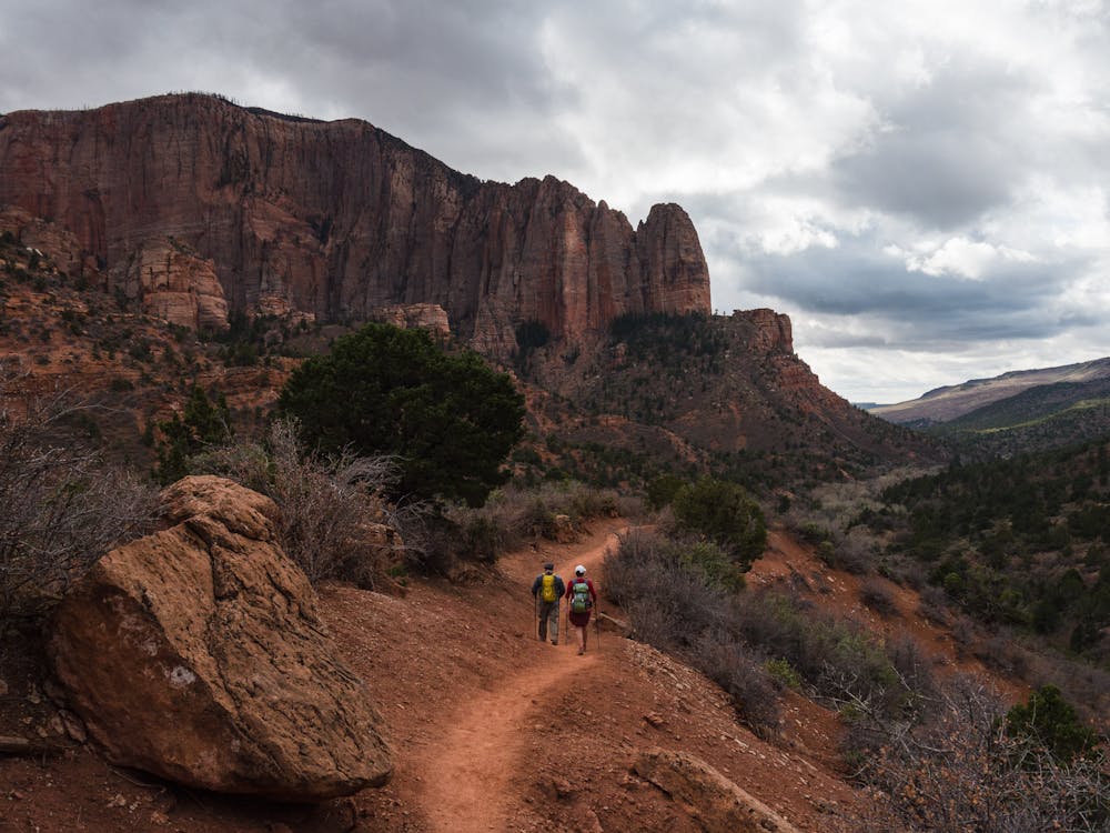
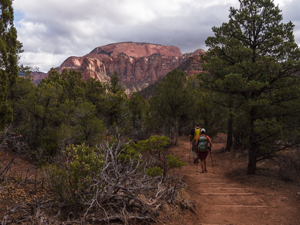
La Verkin Trail begins by descending a short steep bit from the parking area. From there, the route follows the (dry) Timber Creek before curving around to La Verkin Creek bed. Cottonwood groves indicate that the creek beds are not always so dry.
La Verkin Creek Trail is nearly 7 miles long, making for a 14-mile roundtrip hike to complete the entire length. A short add-on at the end of the trail leads to one of the world's largest free-standing arches, Kolob Arch. By obtaining a wilderness permit at the Kolob Canyons Visitor Center, the hike can become a backpacking trip, allowing more time and offering the potential for extended adventures. For more information, see: https://www.nps.gov/zion/planyourvisit/laverkin-creek-trail.htm
As a day hike, one can trek as far as desired by turning around at any given point. A wonderful 9-mile roundtrip hike provides enough distance to be satisfying, as well as lovely views of Shuntavi Butte. Since the elevation loss and re-gain involves only 800' over 4.5 miles, it is a reasonable distance for a day's ramble.
La Verkin Trail is a great introduction to the Kolob Canyons region of Zion National Park.
Easy
Walking along a well-kept trail that’s mostly flat. No obstacles are present.

The path is on completely flat land and potential injury is limited to falling over.

Away from help but easily accessed.
1.4 km away
Pleasant hike to a natural stone amphitheater in the less-crowded Kolob Canyons area of Zion National Park.
Moderate Hiking
11 routes · Hiking