
10 routes · Alpine Climbing · Hiking
A long hike to the summit of one of the most prominent peaks along the Wasatch Front.
Hiking Severe

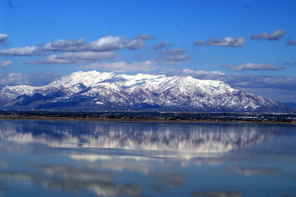
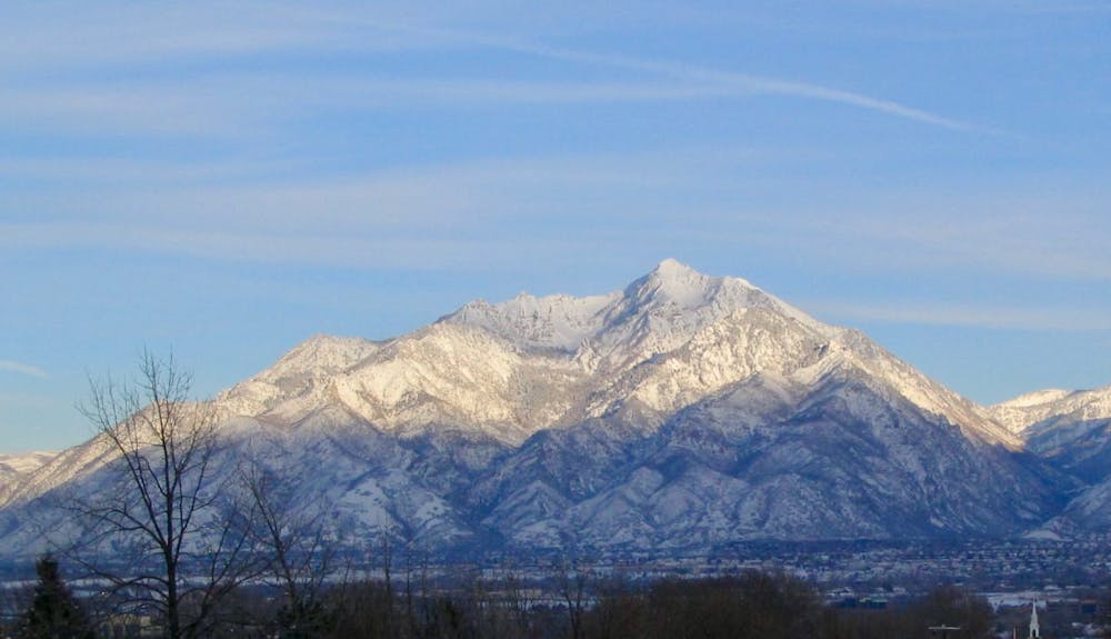
Mount Ogden is one of the highest and most prominent peaks along the Wasatch Front and can be seen from miles away, all across the valley. While there are several different routes for gaining the summit (including some technical rock climbing routes), one of the most popular ascents is via the Beus Canyon Trail.
Beus Canyon begins on the outskirts of the city of Ogden and climbs over 5,000 vertical feet over the course of 7.3 miles (one-way) to reach the summit of Mount Ogden. This long climb is strenuous and will challenge even the most fit of hikers, but it remains relatively non-technical. All things considered, it’s just a hike on a trail—albeit a long and steep trail.
One of the primary challenges is carrying enough water to complete this challenging 14.7-mile hike. The majority of the trail is hot and exposed to harsh sunlight, and there’s no option to resupply on water after you pass the “Fern Fields.” Plan accordingly, and remember: once you reach the top, your hike is only half over.
Sources: https://www.summitpost.org/mt-ogden-via-beus/726590 https://www.summitpost.org/mount-ogden/152167
Severe
Hiking challenging trails where simple scrambling, with the occasional use of the hands, is a distinct possibility. The trails are often filled with all manner of obstacles both small and large, and the hills are very steep. Obstacles and challenges are often unexpected and can be unpredictable.

The trail contains some obstacles such as outcroppings and rock which could cause injury.

Little chance of being seen or helped in case of an accident.
10 routes · Alpine Climbing · Hiking