Under the Natural Bridges Loop
The best hike in Natural Bridges National Monument
Hiking Difficult
- Distance
- 13 km
- Ascent
- 392 m
- Descent
- 392 m
- Duration
- 3-4 hrs
- Low Point
- 1.7 km
- High Point
- 1.9 km
- Gradient
- 12˚

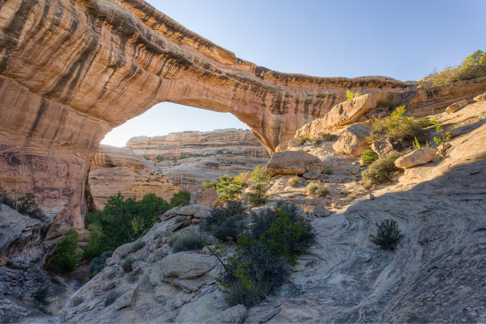
At 8.2 miles long, this is one of the longest and best hikes in Natural Bridges National Monument. This route drops into the bottom of White Canyon near Sipapu Bridge and then winds its way south along the canyon bottom.
Description
On this hike, you'll visit three majestic natural bridges - Sipapu, Kachina, and Owachomo. Along the way, you'll also spot incredible rock art panels and ancestral Puebloan ruins.
After climbing out of the canyon, the trail cuts cross-country through the arid high-desert landscape to return to the trailhead from whence you began.
At times, the navigation on this trail is difficult due to its primitive nature and the lack of signage. Be sure to download this route for offline navigation in FATMAP.
Sources: https://www.downthetrail.com/exploring-utah/natural-bridges-national-monument-hiking-loop https://hikingwalking.com/index.php/destinations/ut/utse/blanding/naturalbridgesloop http://www.utahtrails.com/Backcountry%20pages/Bridges.html
Difficulty
Difficult
Hiking trails where obstacles such as rocks or roots are prevalent. Some obstacles can require care to step over or around. At times, the trail can be worn and eroded. The grade of the trail is generally quite steep, and can often lead to strenuous hiking.
Medium Exposure

The trail contains some obstacles such as outcroppings and rock which could cause injury.
Remoteness

Little chance of being seen or helped in case of an accident.
Best time to visit
Features
- Historical
- Picturesque