8 km away
The White Rim: Western Spirit 80-Mile Version
Pedal through the visually-stunning depths of Canyonlands National Park on this 4-day guided tour.
Moderate Mountain Biking
- Distance
- 130 km
- Ascent
- 1.8 km
- Descent
- 2.1 km
Day 2 gets into the heart of the trip, with an optional side quest to White Crack.
Mountain Biking Moderate

After a warm-up day filled with pavement and plenty of descending on the Shafer Trail, it's time to finally get into the meat of the White Rim Road! Day 2 requires a bit over 29 miles of pedaling with a respectable 2,600 feet of climbing.
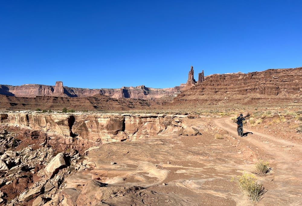
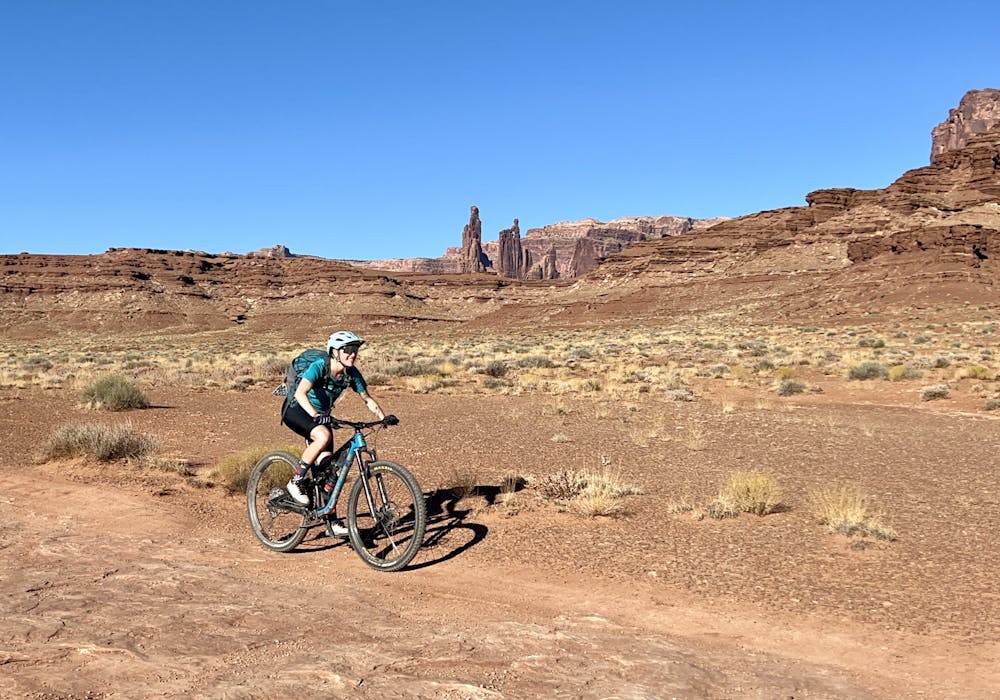
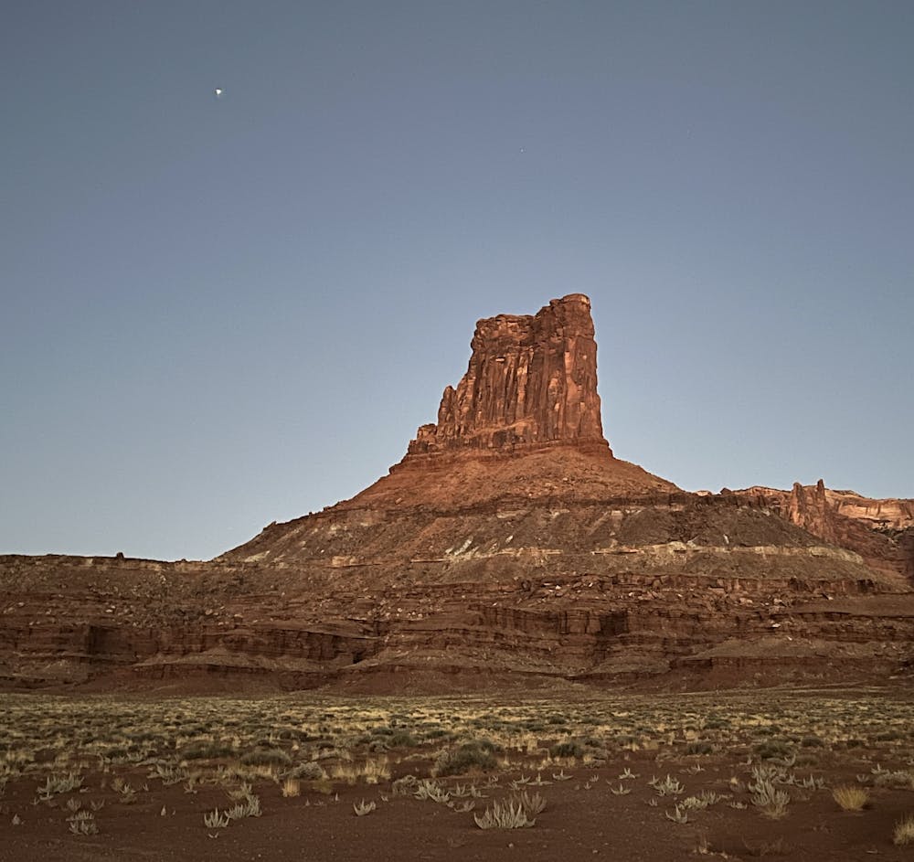
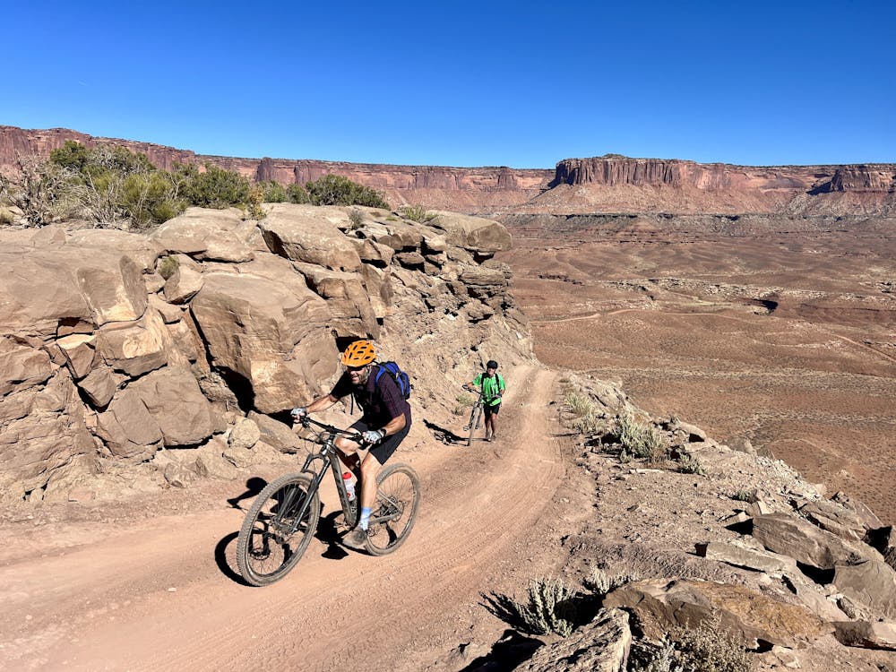
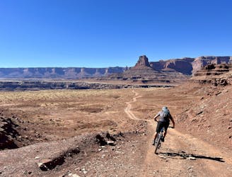
The day begins with easy pedaling from Airport Campground. Shortly after rounding the corner to the south of Airport Tower, you'll be faced with another impressive rock formation: Monster Tower, which you'll ride toward and around for the next several miles. These spectacular views continue to trot on and on!
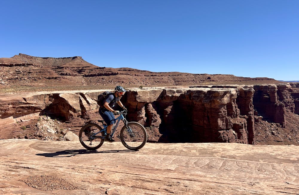
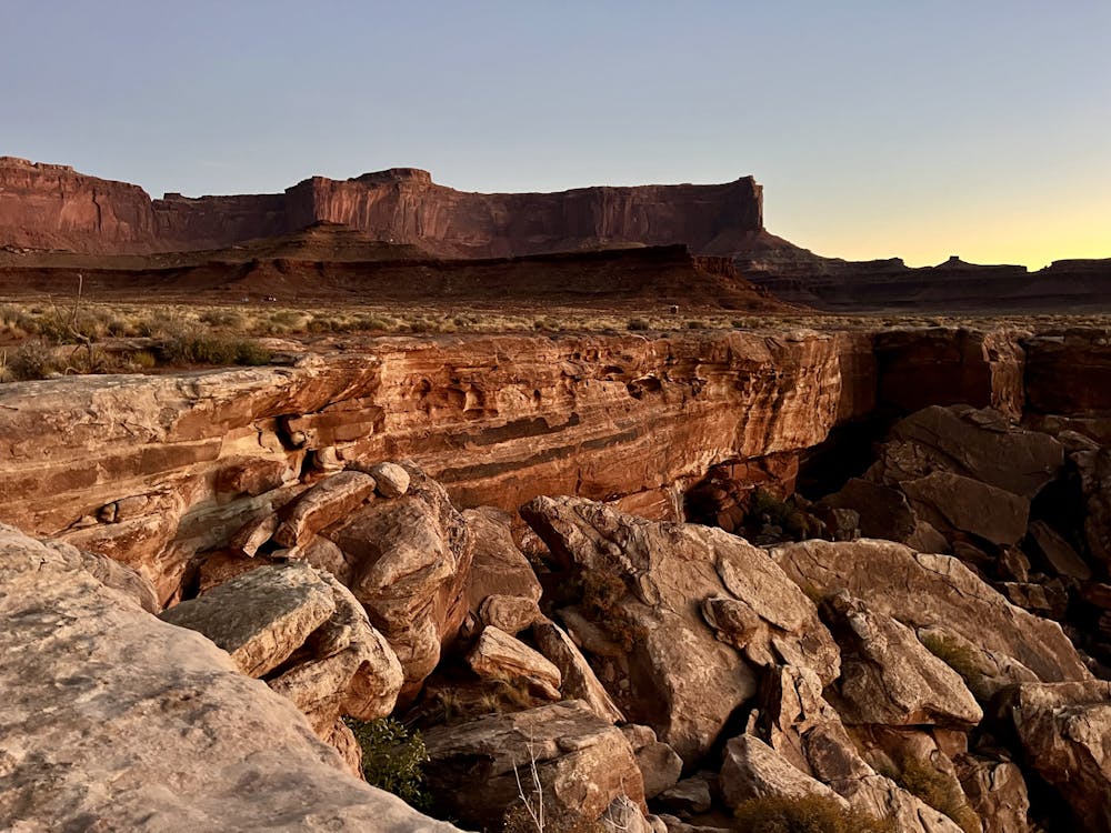
The pedaling is pretty consistent for most of the day, with undulating climbs and descents and alternating sections of rocky slab and dirt doubletrack jeep road. At several points, the road will approach the rim, providing spectacular vistas into deep canyons below. Be sure to pick one of these incredible views as your lunch stop!
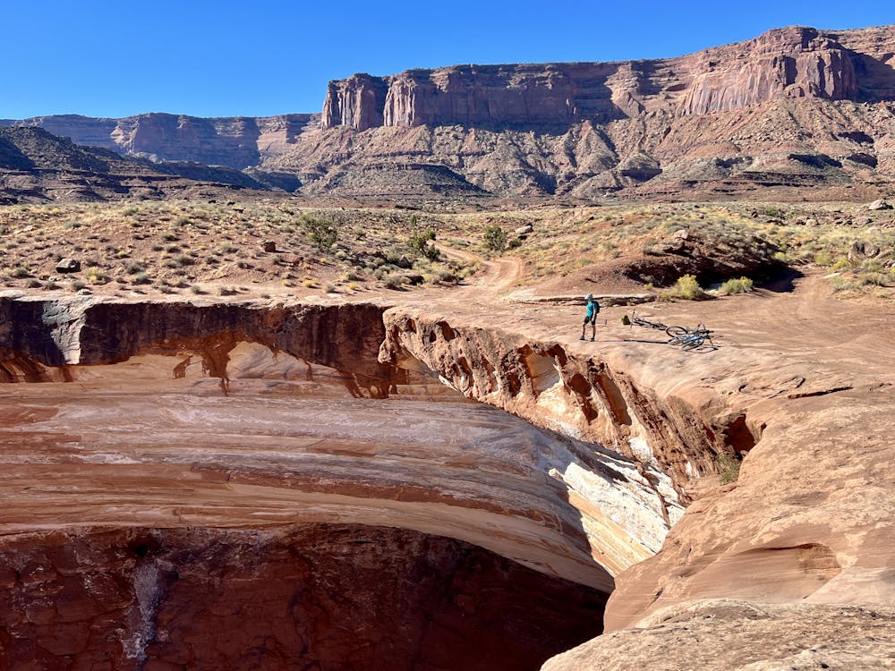
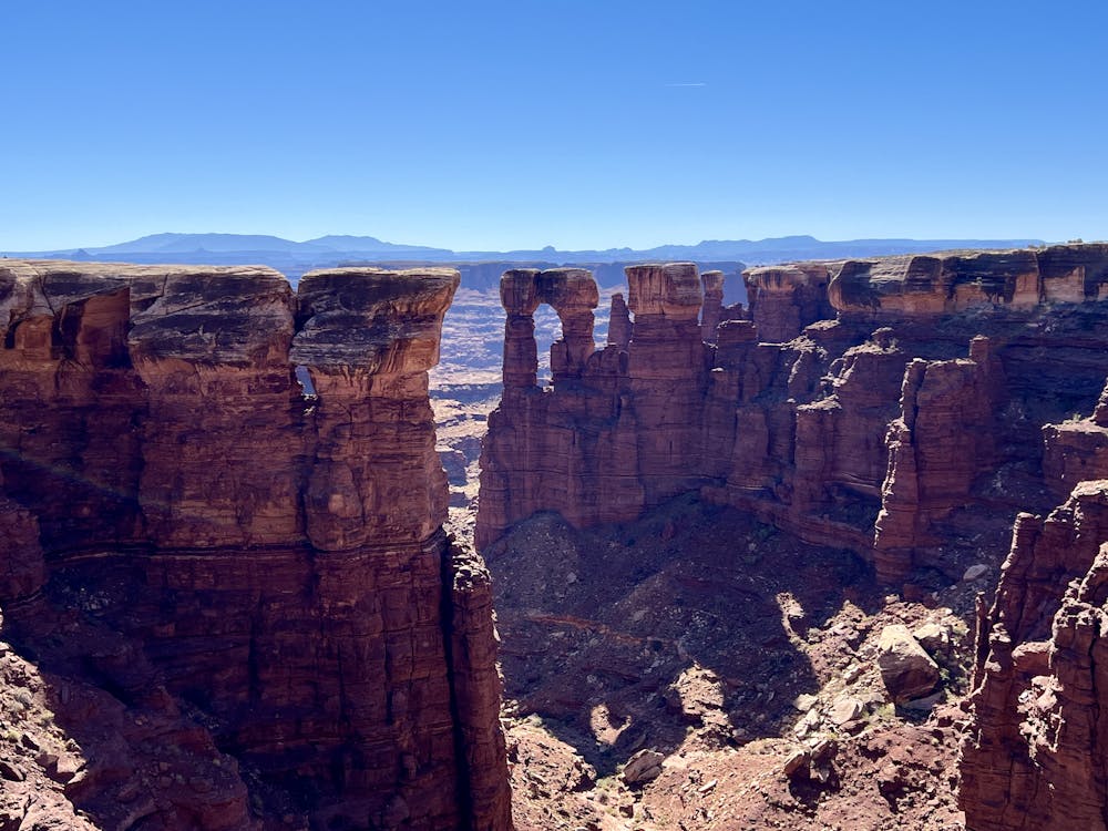
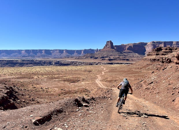
Day 2 passes the southernmost point on the White Rim, which includes an optional out-and-back to White Crack: a narrow crack running deep into the rock of the White Rim layer.
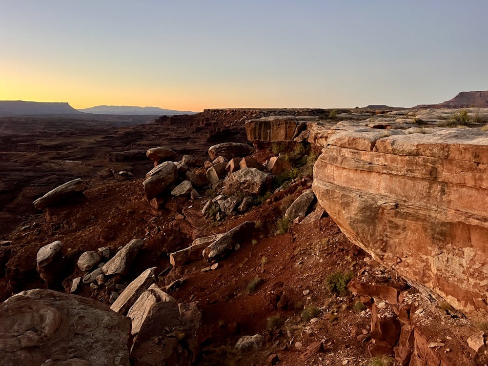
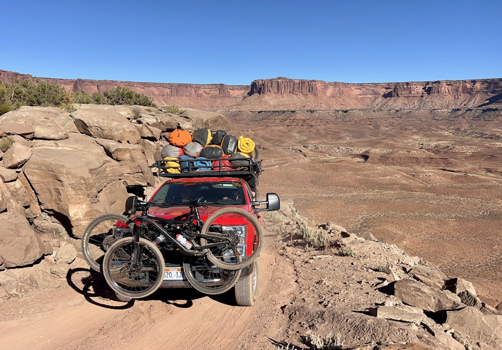
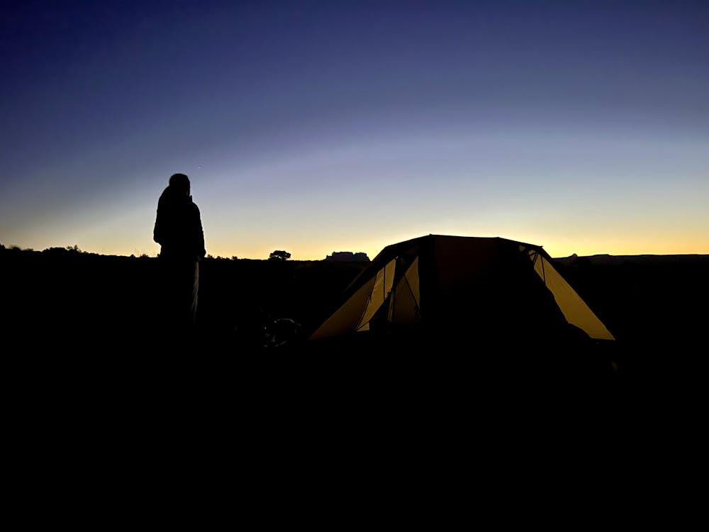
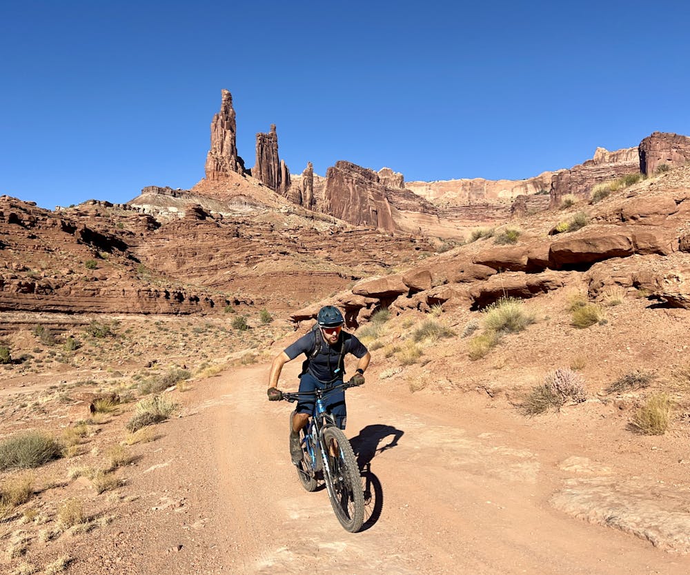
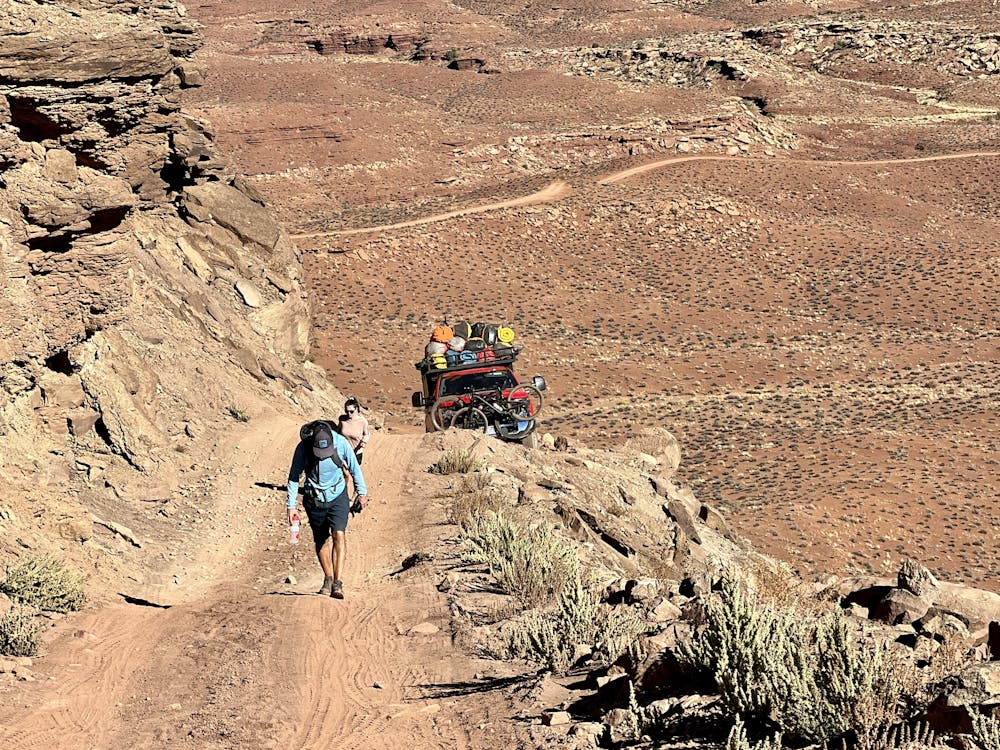
The campsite for night 2 is situated on a spectacular ridge known as Murphy Hogback. From the ridge, you'll enjoy spectacular views of Canyonlands spreading out before you—this is easily one of the most spectacular campsites on the entire White Rim Road! However, to reach your camp for the night, you'll have to conquer one of the toughest climbs of the trip. While short, the final one-mile climb gains almost 500 vertical feet. While much of it is rideable, some of the steepest pitches have been churned up by jeeps and trucks. The loose dirt on some of these pitches can be difficult or impossible to maintain traction through on a mountain bike. But even if you have to hike, it's a pretty hoof slog to reach the top and the promise of a cold beer out of the truck's cooler!
Moderate
Mostly stable trail tread with some variability, with unavoidable obstacles 8in/20cm tall or less. Other obstacles such as rock gullies and steep sections may exist. Ideal for lower intermediate riders.

The path is on completely flat land and potential injury is limited to falling over.

Little chance of being seen or helped in case of an accident.
8 km away
Pedal through the visually-stunning depths of Canyonlands National Park on this 4-day guided tour.
Moderate Mountain Biking
4 routes · Mountain Biking