out of bounds woods
out of bounds steep moderately open trees.
Freeride Skiing Severe
- Distance
- 468 m
- Ascent
- 0 m
- Descent
- 102 m
- Low Point
- 711 m
- High Point
- 814 m
- Gradient
- 20˚
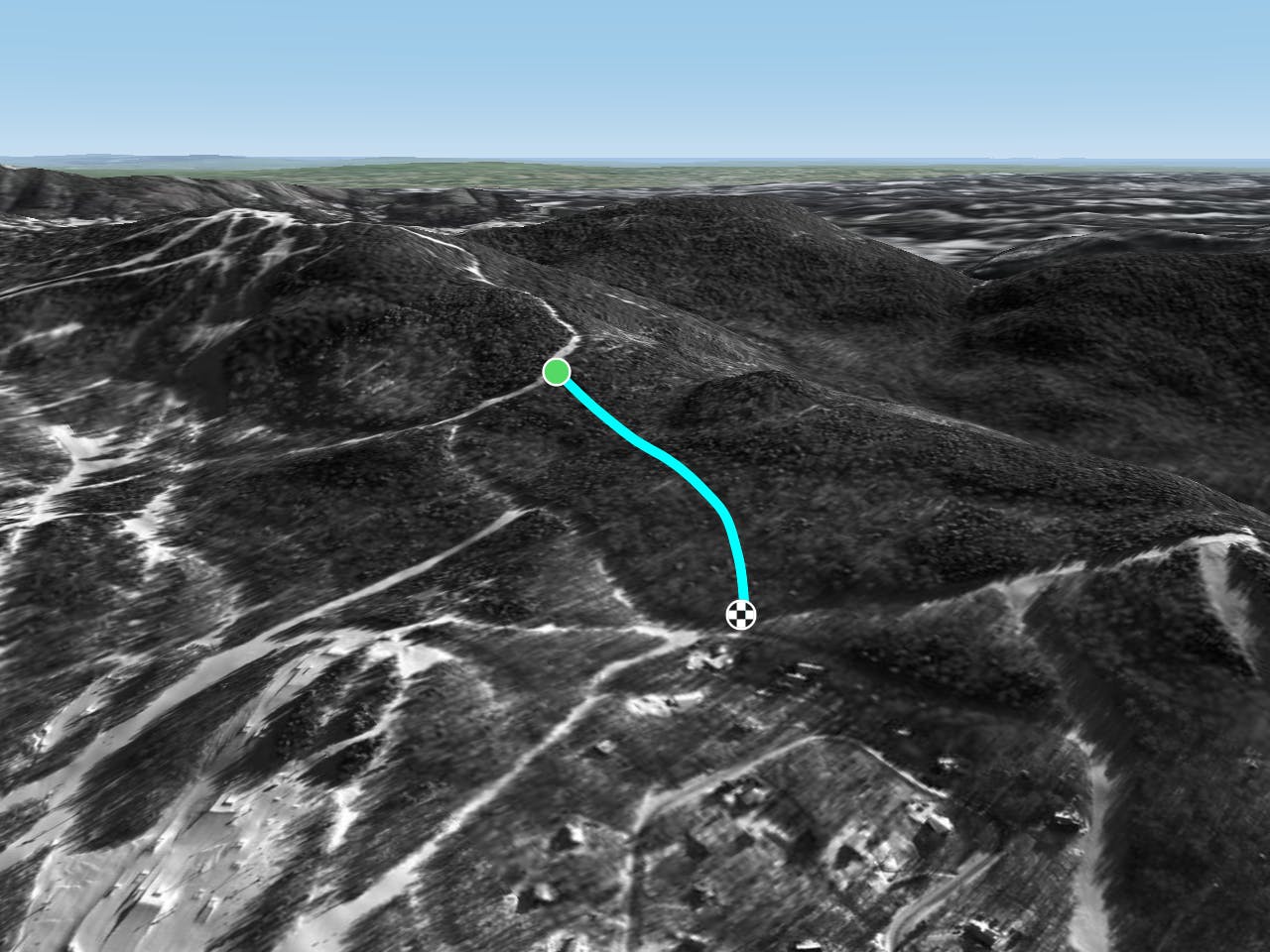
This is a popular freeride skiing route which is generally considered to be severe. It's not remote, it features medium exposure (e2) and is typically done between January and April. From a low point of 711 m to the maximum altitude of 814 m, the route covers 468 m, 0 vertical metres of ascent and 102 vertical metres of descent.
Description
always fresh lines
Difficulty
Severe
Steep skiing at 38-45 degrees. This requires very good technique and the risk of falling has serious consequences.
Medium Exposure (E2)

As well as the slope itself, there are some obstacles (such as rock outcrops) which could aggravate injury.
Remoteness

Close to help in case of emergency.
Best time to visit
Features
- Trees
- Cliffs