The Saddle
Jay Peak
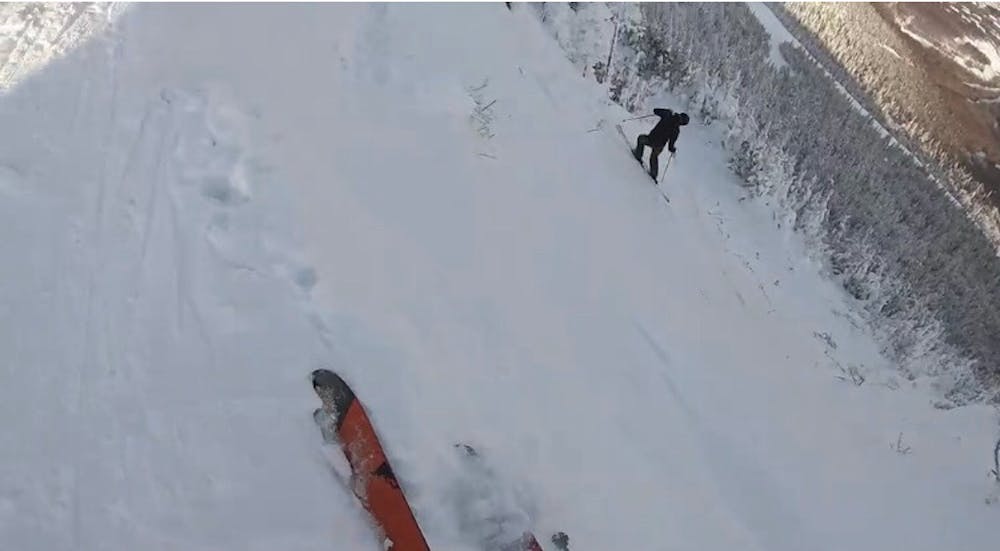
A steep chute off the famous summit ridge
Freeride Skiing Severe
- Distance
- 458 m
- Ascent
- 0 m
- Descent
- 183 m
- Low Point
- 974 m
- High Point
- 1.2 km
- Gradient
- 37˚

From the top of the tram, walk up the flight of stairs to the open summit. Descend the alpine ridge to the obvious low point. From here, you can clearly see the chute. It's a solid 45 degree pitch, sometimes requiring a drop-in off a wind lip and a mandatory air in the middle. From below the chute the terrain plateaus and the next move is unclear. Look for a tight chute to skiers left, that drops through seemingly unskiable spruce. This will get you below the cliff band and into the lower woods. from here, you can ski the trees to Northway.
Difficulty
Severe
Steep skiing at 38-45 degrees. This requires very good technique and the risk of falling has serious consequences.
Medium Exposure (E2)

As well as the slope itself, there are some obstacles (such as rock outcrops) which could aggravate injury.
Remoteness

Close to help in case of emergency.
Best time to visit
Features
- Trees
- Cliffs
- Walk Required