9 routes · Hiking
The trek over Mount Mansfield, Vermont's highest peak.
Hiking Difficult

This segment of the Long Trail begins at the parking area under Interstate 89. To the south, the trail crosses a 224-foot-long footbridge that has been on the drawing board for nearly 100 years.
According to a press release from Mike Debonis, Executive Director of the Green Mountain Club, "the Vermont Legislature in 1912 passed a bill that would build a bridge over the Winooski River. In 1913, $500 was appropriated to the project, but subsequent trail rerouting limited plans and a bridge was never built." Up until it's opening in 2015, hikers were left with a long road walk and a ferry ride courtesy of a local farmer.
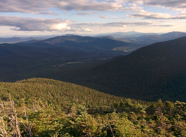
North, the trail ascends to a ridgeline, following it north to the summit of Bolton Mountain. You can snag some views of Mount Mansfield along the way. Ahead, the trail skirts the summit of Mount Clark before making a brief descent into Nebraska Notch. Taylor Lodge lies near the notch and offers a great overnight camping option along the stretch. Nearby streams also make it a popular area to refill on water.
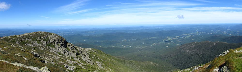
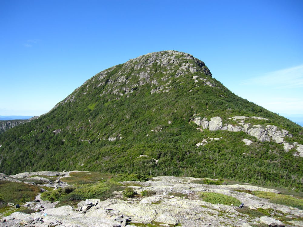
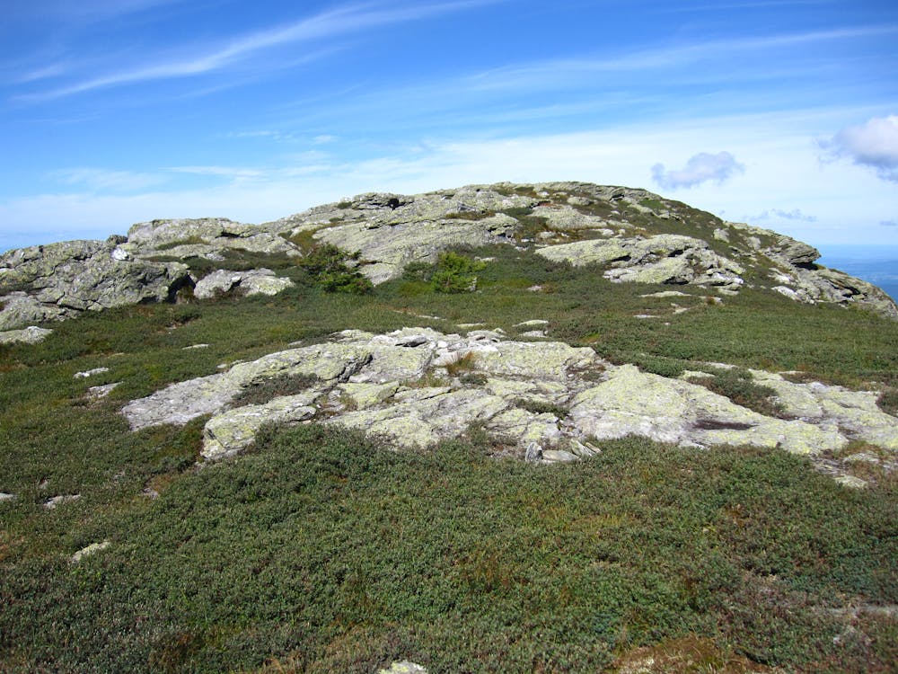
After an arduous and demanding climb north, the trail makes its way onto Mount Mansfield, Vermont's highest peak. According to Wikipedia, the mountain's profile, as viewed from the east or west, vaguely resembles an elongated human profile. The mountain summit is also one of the only places in the state where you can experience alpine tundra. There are about 200 acres of tundra atop the peak, and it was designated as a National Natural Landmark in 1980. Enjoy the incredible views from the exposed ridge and soak in the views from nearly 4,400 feet. For the less adventurous, a visitor's center is accessible by car at the southernmost portion of the ridge.
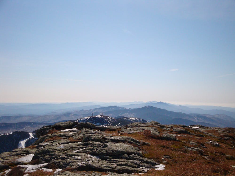
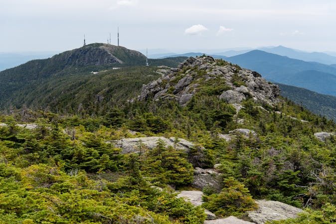
Ahead, the trail spirals its way through one of Vermont's more popular ski areas, passing near the base of Stowe Mountain Resort, then climbing its way back to Spruce Peak. Here, Smugglers Notch Resort can be seen to the north, Stowe Mountain Resort to the south.
The summit of Whiteface Mountain is the final peak of this segment of the Long Trail. Near the summit, you can snag some views to both the north and south and a nearby shelter provides some views from its perch.
This portion of the trail ends with a long, steady descent to VT-15, where you'll reach a parking area typical of what lines most of the trail. To the east, the town of Johnson serves as a popular resupply point for a longer thru-hike.
Sources: https://www.summitpost.org/sterling-whiteface-mountain/200906 https://en.wikipedia.org/wiki/MountMansfield https://longstride.net/longtrail/2017/08/03/taylor-lodge https://www.burlingtonfreepress.com/story/news/local/2015/06/12/long-trail-footbridge-finally-opens-hikers/71143178/
Difficult
Hiking trails where obstacles such as rocks or roots are prevalent. Some obstacles can require care to step over or around. At times, the trail can be worn and eroded. The grade of the trail is generally quite steep, and can often lead to strenuous hiking.

Some trail sections have exposed ledges or steep ascents/descents where falling could cause serious injury.

Away from help but easily accessed.
9 routes · Hiking
10 routes · Hiking
8 routes · Hiking