backcountry ski route 2.0
not to hard but need sufficient skill.
Ski Touring Difficult
- Distance
- 9.7 km
- Ascent
- 103 m
- Descent
- 850 m
- Duration
- 2-3 hrs
- Low Point
- 178 m
- High Point
- 945 m
- Gradient
- 26˚
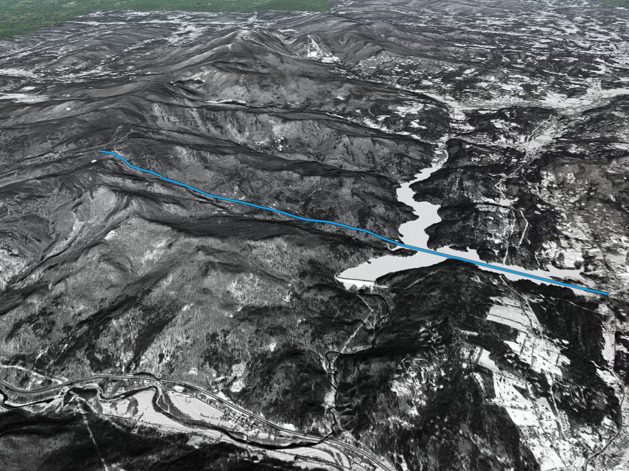
This is a popular ski touring route which is generally considered to be difficult. It's remote, it features high exposure (e3) and is typically done between December and February. From a low point of 178 m to the maximum altitude of 945 m, the route covers 9.7 km, 103 vertical metres of ascent and 850 vertical metres of descent. It's graded 5.4 and Labande grade 7.
Description
great for backcountry skiers.
Difficulty
Difficult
Serious gradient of 30-38 degrees where a real risk of slipping exists.
High Exposure (E3)

In case of a fall, death is highly likely.
Remoteness

Away from help but easily accessed.
Best time to visit
Features
- Cliffs
- Ski Safari