4 routes · Trail Running
Run one of the oldest 100-mile trail races in the country!
Trail Running Extreme

Important Note: The Vermont 100 racecourse runs over 30 pieces of private property, meaning that the full course is only open to runners during the race. No pre-running of the course is allowed. This map is shared for inspirational and race planning purposes only.
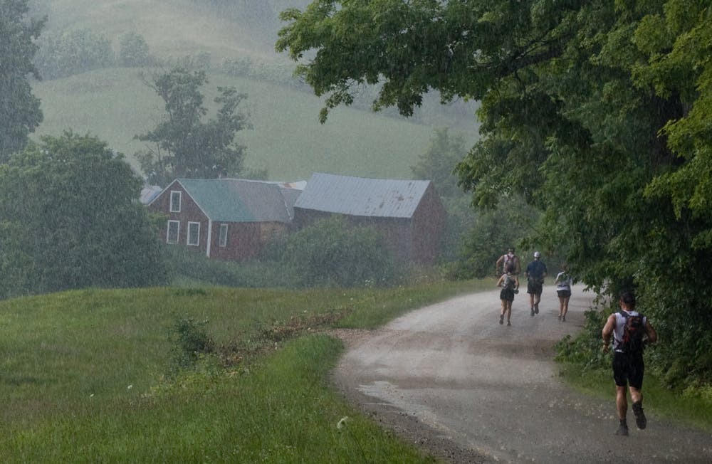
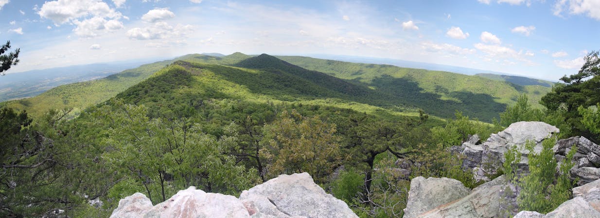
The Vermont 100 covers 100 miles of country roads and forested trails, with "breathtaking views of the southern Green Mountains" the entire way, according to Vermont100.com. The route is constantly climbing and descending "unrelenting rollers that add up to 17,000 feet of climbing."
The vast majority of the course follows rural dirt roads through the Vermont mountains. The remainder traverses a combination of horse trails and hiking trails—you'll only find a mere two miles of pavement in this course. This is a true backcountry trail running race that will challenge the most elite runners from around the world!
The Vermont 100 was first held in 1988, and as such it "has one of the sport’s richest histories as one of America’s oldest 100 milers, and as part of the Grand Slam of Ultrarunning," according to TrailRunner.com.
The Grand Slam of Ultrarunning is awarded to runners who "complete four of the oldest 100-mile trail runs in the US," according to Run100s.com. "The "Slam" consists of officially finishing three of these four: the Old Dominion 100 Mile Run, the Western States 100 Mile Endurance Run, the Vermont 100 Mile Endurance Run, the Leadville Trail 100 Mile Run, plus the Wasatch Front 100 Mile Endurance Run all in the same year," the writer continues.
Sources: https://vermont100.com/ https://www.hellodrifter.com/events/vermont-100-endurance-race-2020# https://en.wikipedia.org/wiki/Vermont100MileEnduranceRun https://trailrunner.com/event/vermont-100-mile-endurance-run/ http://www.run100s.com/gs.htm
Extreme

The path is on completely flat land and potential injury is limited to falling over.

Away from help but easily accessed.
4 routes · Trail Running
11 routes · Trail Running