New River Trail
A beautiful, historic rails-to-trails route along the New River.
Gravel Biking Easy
- Distance
- 80 km
- Ascent
- 1.2 km
- Descent
- 1.1 km
- Duration
- 5-6 hrs
- Low Point
- 562 m
- High Point
- 720 m
- Gradient
- 4˚

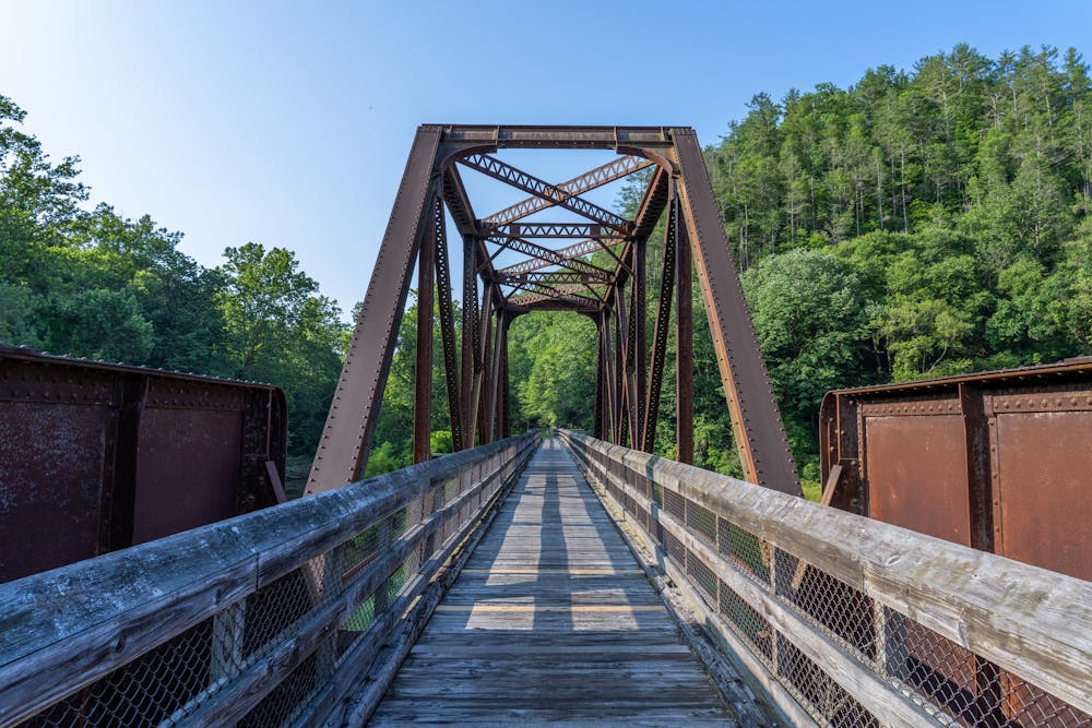
The New River Trail is a long-distance rail trail that parallels the eponymous river (one of the oldest rivers in the world) for many miles. It was designated as a National Recreation Trail back in 1986, and as such has served as a beautiful path for recreation for several decades.
Description
Shown here is a 50-mile point-to-point ride along the trail. The trail is primarily a crushed stone surface, which makes it ideal for gravel biking. However, hikers, runners, dog walkers, mountain bikers, road cyclists, and more all use this trail.
Interesting sites along the trail include two tunnels (135 feet and 193 feet long), three major bridges (Hiwassee Bridge, Ivanhoe Bridge, and Fries Junction Bridge), and almost 30 smaller bridges and trestles. You'll also pass intriguing historical sites, such as the 19th-century Jackson Ferry Shot Tower, the Draper Mercantile building, two turn-of-the-century hydroelectric dams, and the remains of several historical industrial sites.
Sources: https://www.traillink.com/trail-itinerary/new-river-trail-state-park https://en.wikipedia.org/wiki/NewRiverTrailStatePark https://www.dcr.virginia.gov/state-parks/blog/visit-new-river-trail-part-1
Difficulty
Easy
Remoteness

Close to help in case of emergency.