Billy Goat Trail Section A
A technical hike along Mather Gorge.
Hiking Severe
- Distance
- 6.2 km
- Ascent
- 83 m
- Descent
- 83 m
- Duration
- 1-2 hrs
- Low Point
- 25 m
- High Point
- 49 m
- Gradient
- 2˚

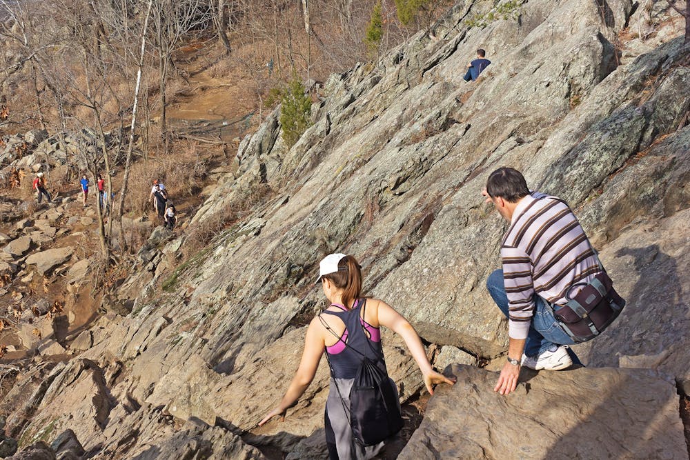
The Billy Goat Trail is a popular hike along the Potomac River and Mather Gorge. Section A of the trail is mapped here as a loop, and is the most difficult section of the Billy Goat Trail, and is dramatically more difficult than Section C.
Description
While Section A does provide incredible views of the Mather Gorge formed by the Potomac River, the hiking is anything but easy. Hikers should expect to scale steep, rocky terrain, with some sections of light scrambling.
The NPS notes that this section of trail is "technical and strenuous," and as of July 3, 2020, this trail is now a one-way hike, heading from upstream near Great Falls and ending downstream near Anglers. The correct path of travel is shown here as a loop with the C&O Towpath.
Note that this trail also frequently closes when the water gets too high. According to the NPS, "Section A of the Billy Goat Trail often closes due to flooding. Under normal conditions, the trail is closed when the gauge at Little Falls reaches 5 feet and reopens when the gauge falls to 4.8 feet. However, under certain circumstances, the trail may be closed at lower levels."
Check the current conditions here.
Sources: https://www.nps.gov/choh/planyourvisit/billy-goat-trail.htm
Difficulty
Severe
Hiking challenging trails where simple scrambling, with the occasional use of the hands, is a distinct possibility. The trails are often filled with all manner of obstacles both small and large, and the hills are very steep. Obstacles and challenges are often unexpected and can be unpredictable.
High Exposure

Some trail sections have exposed ledges or steep ascents/descents where falling could cause serious injury.
Remoteness

Away from help but easily accessed.
Features
- Picturesque