Bull Run Occoquan Trail
A lengthy hike along a beautiful river passing historical sites and pristine woodlands.
Hiking Difficult
- Distance
- 29 km
- Ascent
- 596 m
- Descent
- 576 m
- Duration
- 6-7 hrs
- Low Point
- 36 m
- High Point
- 88 m
- Gradient
- 5˚

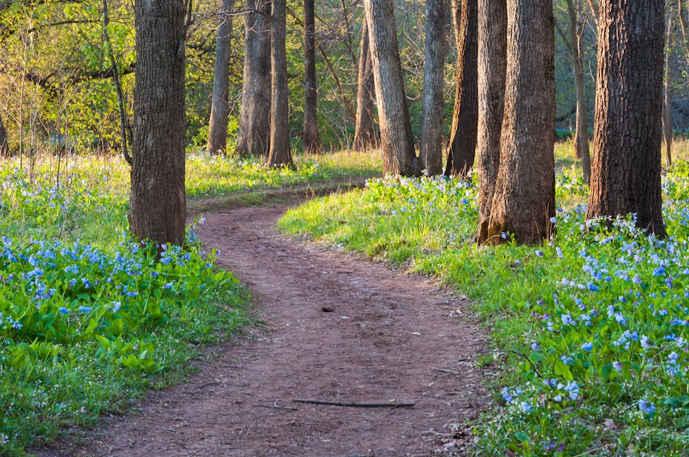
If you are looking for a long and scenic hike along a historic river, the Bull Run Occoquan Trail is a great option. This lengthy trail follows the course of Bull Run from Bull Run Regional Park in Centreville to Fountainhead Regional Park in Fairfax Station. Along the way, you will enjoy views of the river, forests, wetlands, and wildlife. You will also encounter some historic sites, such as the ruins of Virginia's first hydroelectric dam and various Civil War landmarks.
Description
The trail is mostly dirt and gravel, with some easy rock scrambles and stream crossings. It is well-marked with blue blazes and signs. The trail is open to hikers and horseback riders, but not to bikers. There are several parking areas and access points along the trail, so you can choose to hike the whole trail or a shorter section. You can also combine the trail with other trails in the parks, such as the red and yellow horse trails in Hemlock Overlook Regional Park.
The Bull Run Occoquan Trail is a wonderful way to explore the natural and cultural heritage of Northern Virginia. It offers a variety of terrain and scenery, from peaceful woodlands to rapids and waterfalls. Whether you hike for a few hours or a few days, you will find something to enjoy on this trail.
Sources: Bull Run Occoquan Trail | Nova Parks. https://www.novaparks.com/parks/bull-run-occoquan-trail. Hiking the Bull Run Occoquan Trail in Clifton, Virginia. https://gohikevirginia.com/bull-run-occoquan-trail-clifton/. Bull Run-Occoquan Trail - Wikipedia. https://en.wikipedia.org/wiki/BullRun-OccoquanTrail. Northern Bull Run Occoquan Trail Hike in Northern Virginia. https://www.funinfairfaxva.com/northern-bull-run-occoquan-trail-hike/. Conversation with Bing Chat
Difficulty
Difficult
Hiking trails where obstacles such as rocks or roots are prevalent. Some obstacles can require care to step over or around. At times, the trail can be worn and eroded. The grade of the trail is generally quite steep, and can often lead to strenuous hiking.
Medium Exposure

The trail contains some obstacles such as outcroppings and rock which could cause injury.
Remoteness
Away from help but easily accessed.
Best time to visit
Features
- Historical
- Water features
- Forestry or heavy vegetation