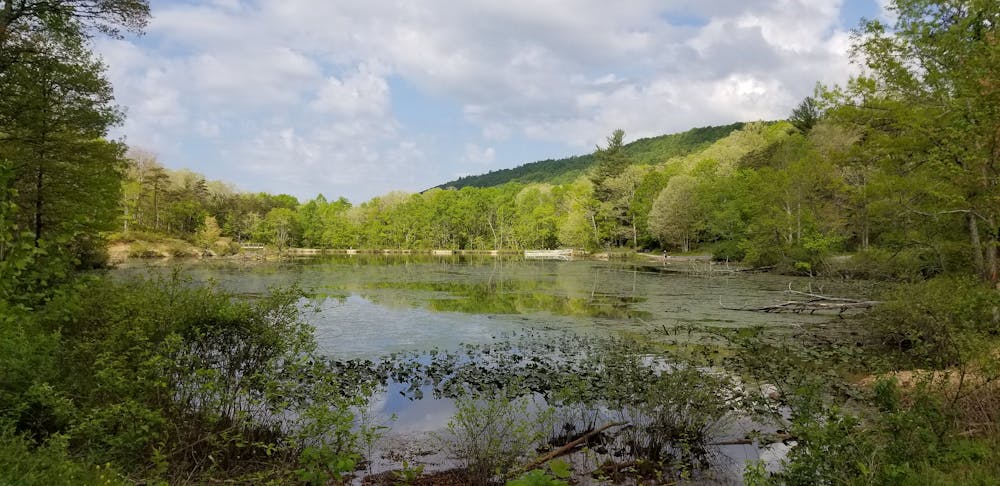
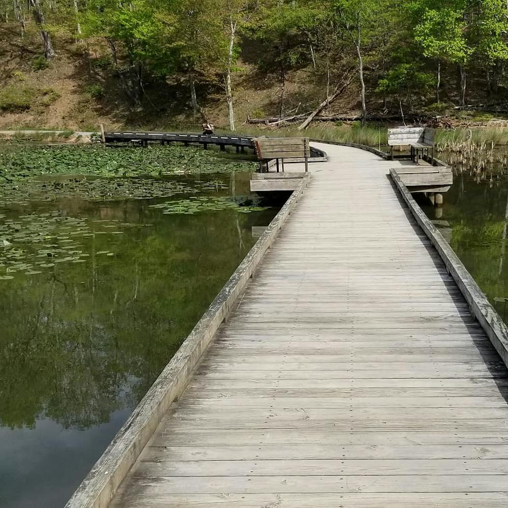
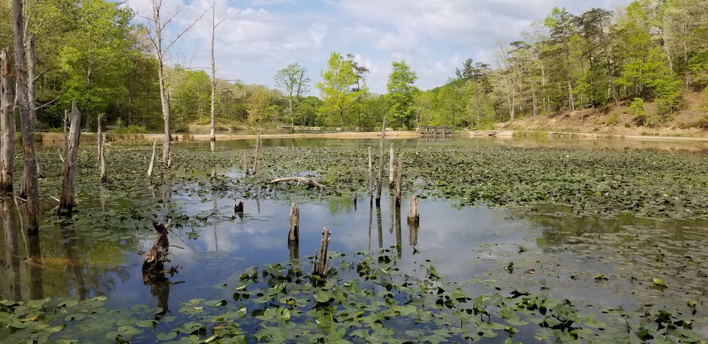
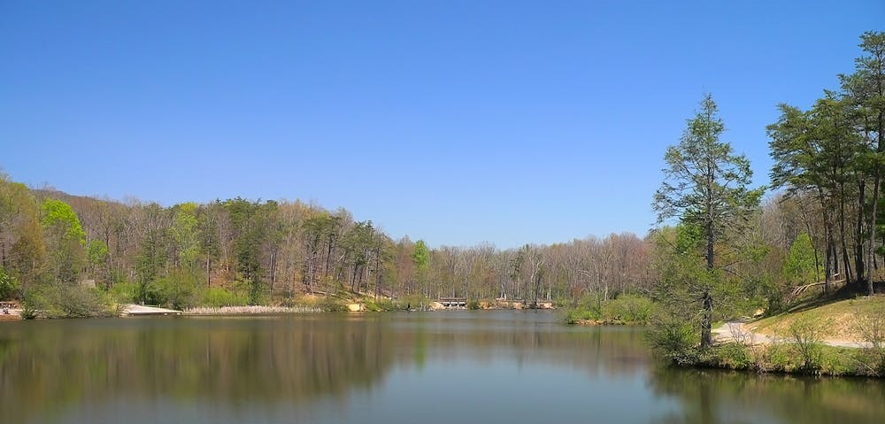
Pandapas Pond
A diverse trail system with approachable trails that aren't nearly as steep as most trails in the Blue Ridge Mountains.
Mountain Biking Moderate
- Distance
- 17 km
- Ascent
- 464 m
- Descent
- 464 m
- Duration
- 1-2 hrs
- Low Point
- 608 m
- High Point
- 758 m
- Gradient
- 6˚

Pandapas Pond is a complex trail system located just outside the town of Blacksburg, where Virginia Tech is located. Consequently, it's not uncommon to see the Virginia Tech mountain bike team training and practicing on this trail network.
- •
- •
- •
- •
Description
Unlike many trails in the Blue Ridge mountains, the grades of the trails at Pandapas are quite approachable. The well-built trails don't climb too quickly up the steep-sided mountains, providing singletrack that's perfect for mountain biking.
While some of the trails are smooth, flowy, and very flat, others are filled with rocks, and even offer optional wooden features for added challenge.
Looking for an added challenge? Pedal to Pandapas from Blacksburg over the top of Brush Mountain via the Gateway Trail to Jacob's Ladder.
Difficulty
Moderate
Mostly stable trail tread with some variability, with unavoidable obstacles 8in/20cm tall or less. Other obstacles such as rock gullies and steep sections may exist. Ideal for lower intermediate riders.
Medium Exposure

The trail contains some obstacles such as outcroppings and rock which could cause injury.
Remoteness
Away from help but easily accessed.