5 routes · Alpine Climbing
Unforgettable journey to Washington's most remote volcano.
Alpine Climbing Easy

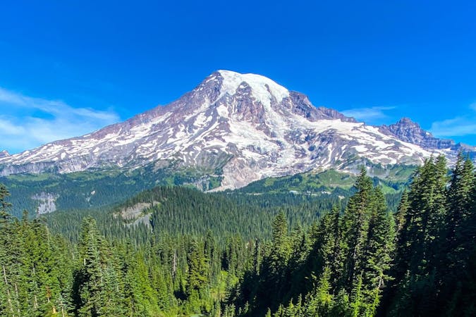
The most remote and least prominent of the Washington volcanoes, Glacier Peak stands quietly alone in the Glacier Peak Wilderness. There are no quick routes to this summit. The most popular route via the Sitkum Glacier was rendered inaccessible years ago, making this lengthy route from the North Fork Sauk River trailhead the "standard" route.
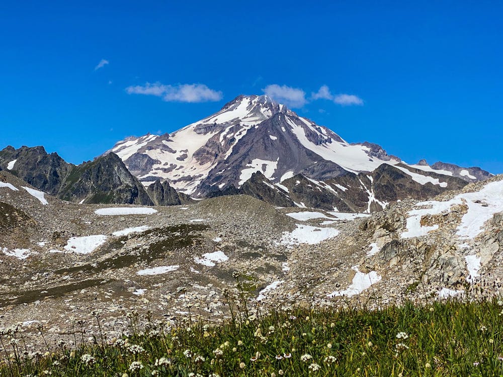
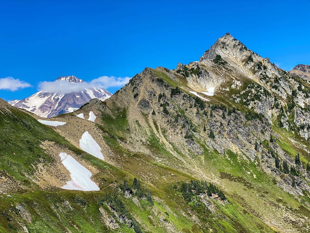
The Glacier Peak Wilderness is known for its beauty, with several miles of hiking to reach White Pass and the edge of the White Chuck glacier at approximately 6,800 ft. Here is where many set up camp near a local tarn.
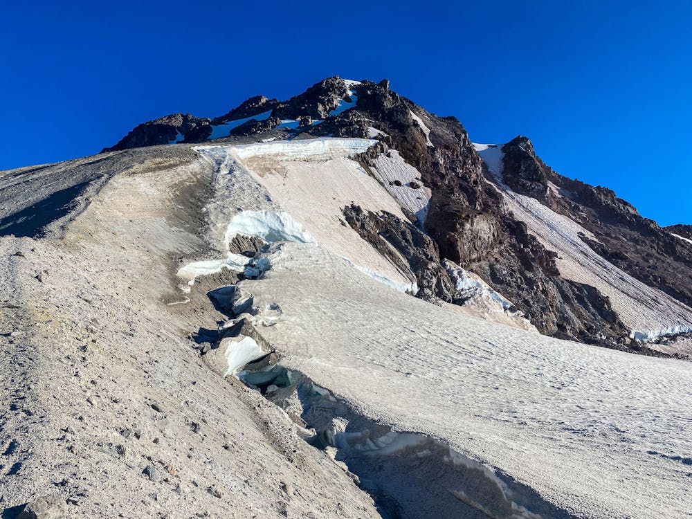
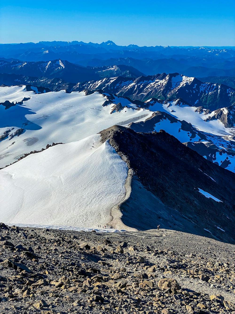
From here the route traverses near the top of the Suiattle Glacier and north toward Disappointment Peak. Climbers either go up and over or around this and onto the Cool Glacier before finally scaling the summit massif.
Easy
The ascent involves simple glacier hiking and/or short, straightforward rock scrambles. Equivalent to Alpine F, F+

The route features some exposed and/or difficult to protect sections.

Little chance of being seen or helped in case of an accident.
5 routes · Alpine Climbing