5 routes · Alpine Climbing
Non-technical snow scramble to the second highest summit in Washington state.
Alpine Climbing Easy

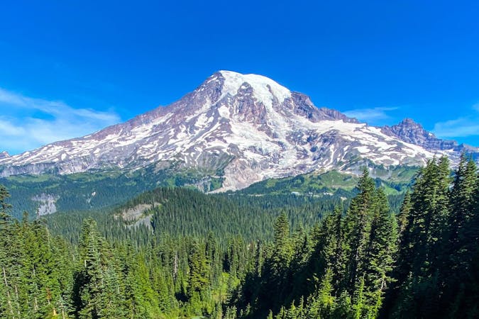
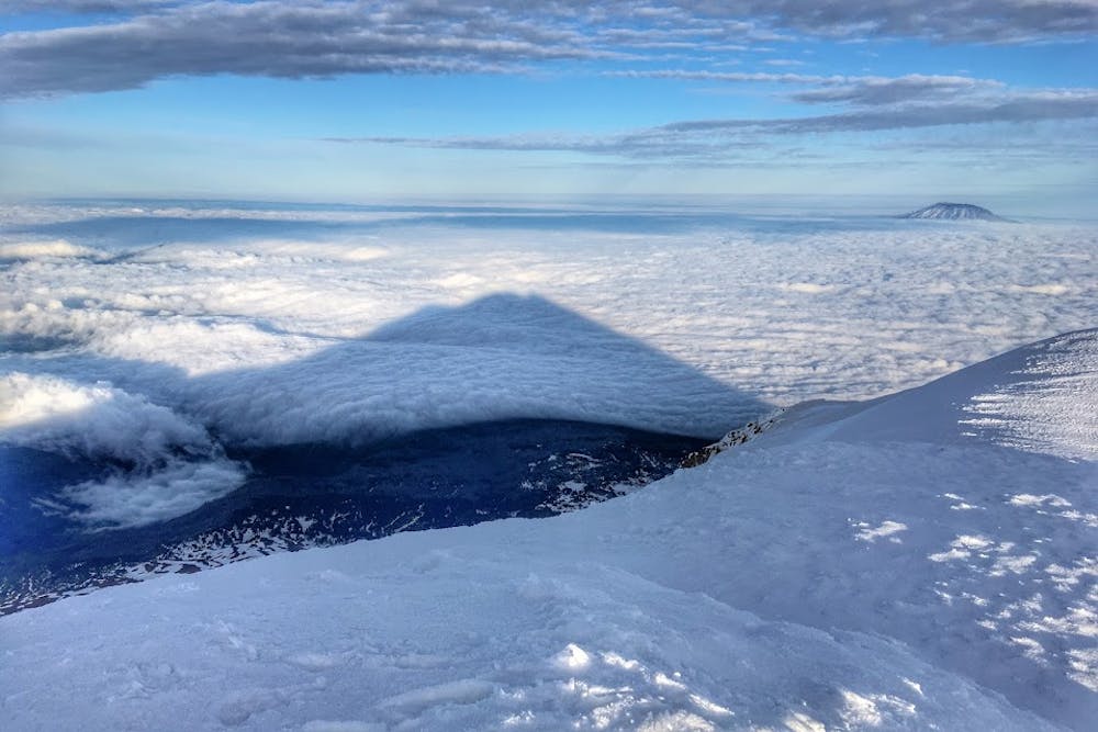
The second highest summit in Washington state and third highest of the Cascade volcanoes is a popular destination for aspiring mountaineers. While there are a variety of glaciated routes to the summit, the most popular route is the non-technical South Spur, which requires only solid snow scrambling skills (ice ax, crampons, etc.)
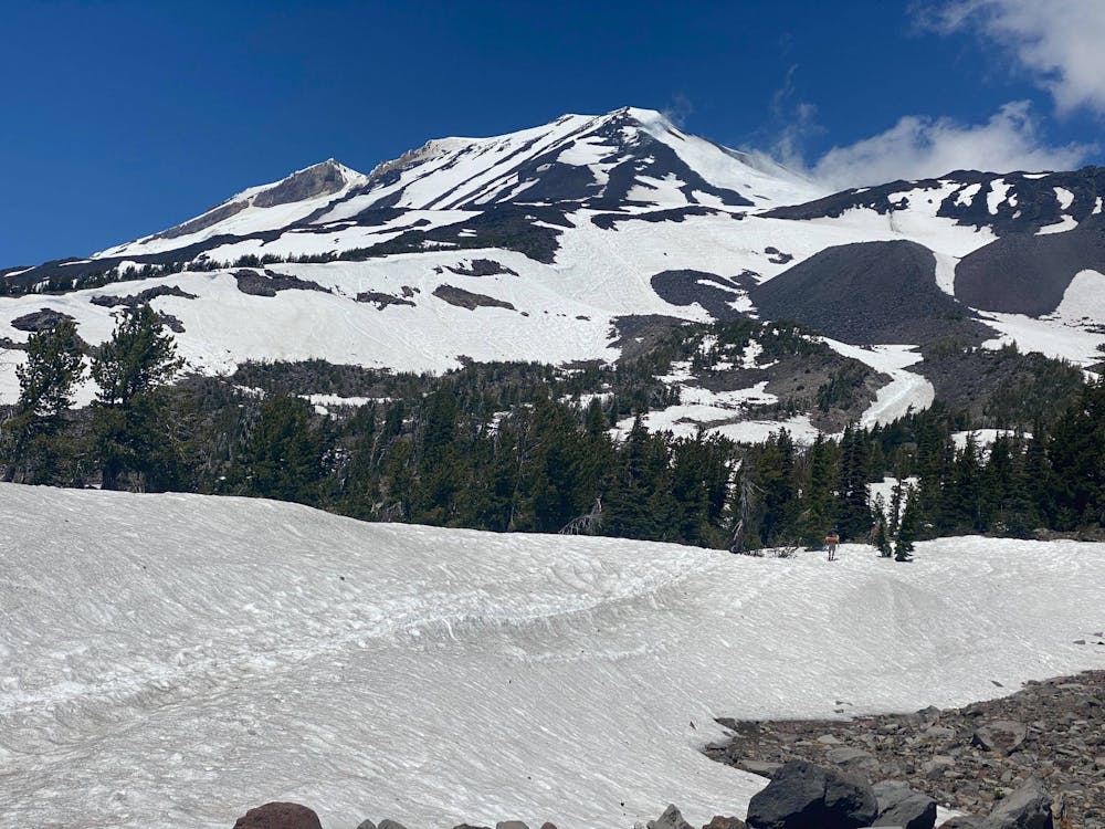
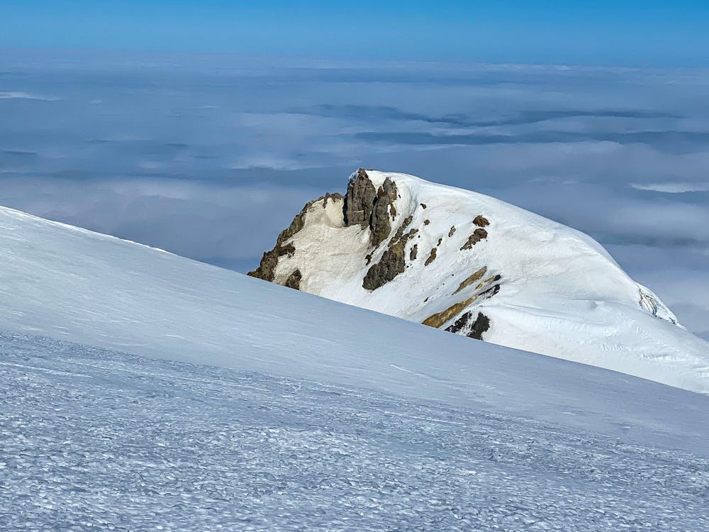
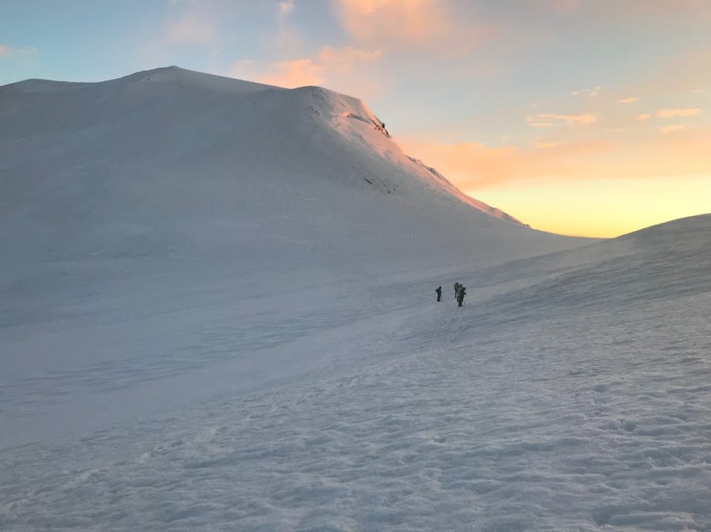
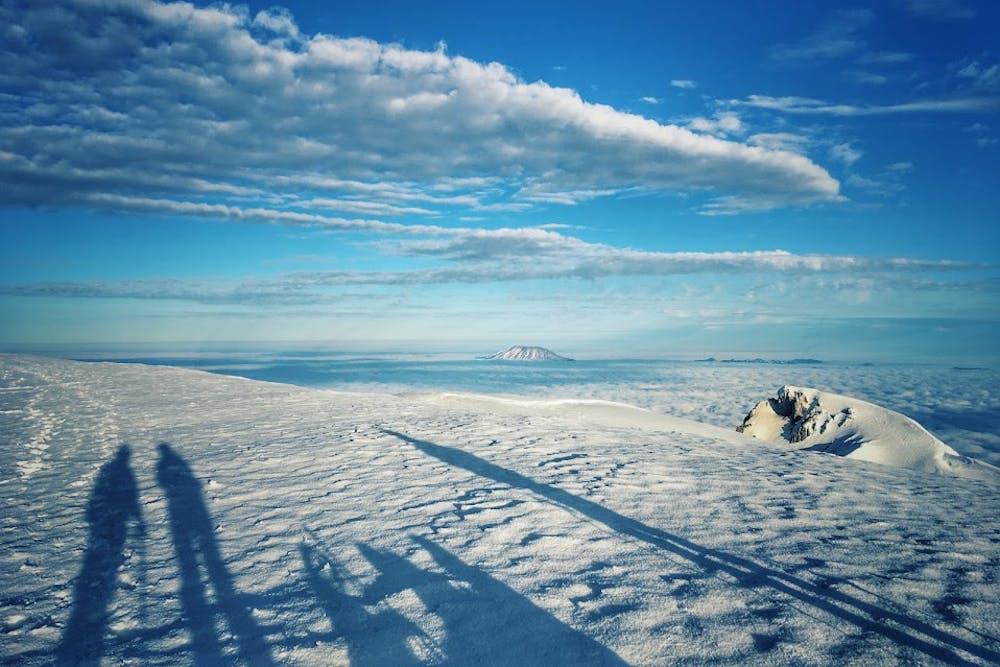
While many do this in a single push, it is popular to camp at the area known as the Lunch Counter at approximately 9,300 feet. From here, the route climbs to Pikers Peak, a false summit at 11,657 before pushing on to the true summit. An old lookout can be found in late season when the snow finally melts out.
Icy conditions often exist above 11,000 feet, making crampons highly recommended. When conditions are right, the descent from the summit to the Lunch Counter can often be done as a long, epic glissade.
Easy
The ascent involves simple glacier hiking and/or short, straightforward rock scrambles. Equivalent to Alpine F, F+

The route is well protected or easy enough that protection is not required.

Away from help but easily accessed.
5 routes · Alpine Climbing