119 m away
Crystal Myth (aka Crystal Meth)

A series of steep cliff bands for experienced experts only.
Extreme Freeride Skiing
- Distance
- 223 m
- Ascent
- 0 m
- Descent
- 148 m
A short steep rollover that ends in thick trees.
Freeride Skiing Difficult

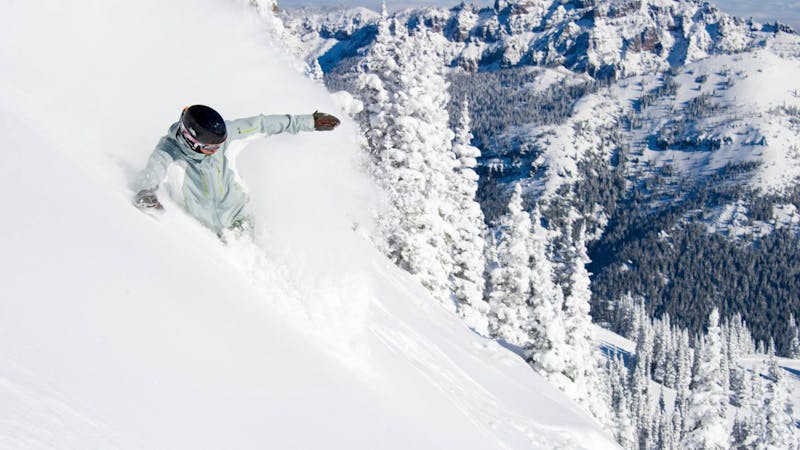
A short steep rollover that ends in thick trees, Paul's Face is named for the ski patrol director that was caught in an avalanche there. Access this later in the season once this terrain pod is open. What starts as a shallow glade quickly steepens over a rocky outcropping. Due to a lack of frequent skier compaction, this area is avalanche prone. Ski or ride with a partner. Watch for tree wells at the bottom.
Difficult
Serious gradient of 30-38 degrees where a real risk of slipping exists.

Exposure is limited to that of the slope itself. Getting hurt is still likely if the slope is steep and/or the snow is hard.
Close to help in case of emergency.
119 m away
A series of steep cliff bands for experienced experts only.
Extreme Freeride Skiing
120 m away

A steep, narrow couloir requiring mandatory air.
Extreme Freeride Skiing
187 m away

A steep, extremely narrow chute with high exposure
Extreme Freeride Skiing
249 m away

A steep, narrow couloir for experts only.
Severe Freeride Skiing
249 m away

A very narrow chute for experienced experts only.
Severe Freeride Skiing
249 m away

A relatively open couloir that opens to a broad apron below.
Severe Freeride Skiing
258 m away

A long steep couloir for experts only.
Severe Freeride Skiing
258 m away

A steep face for experts
Severe Freeride Skiing
258 m away

A narrow, steep chute for experts only.
Severe Freeride Skiing
259 m away

Another steep chute in the Niagara's area
Severe Freeride Skiing
14 routes · Freeride Skiing · Ski Touring