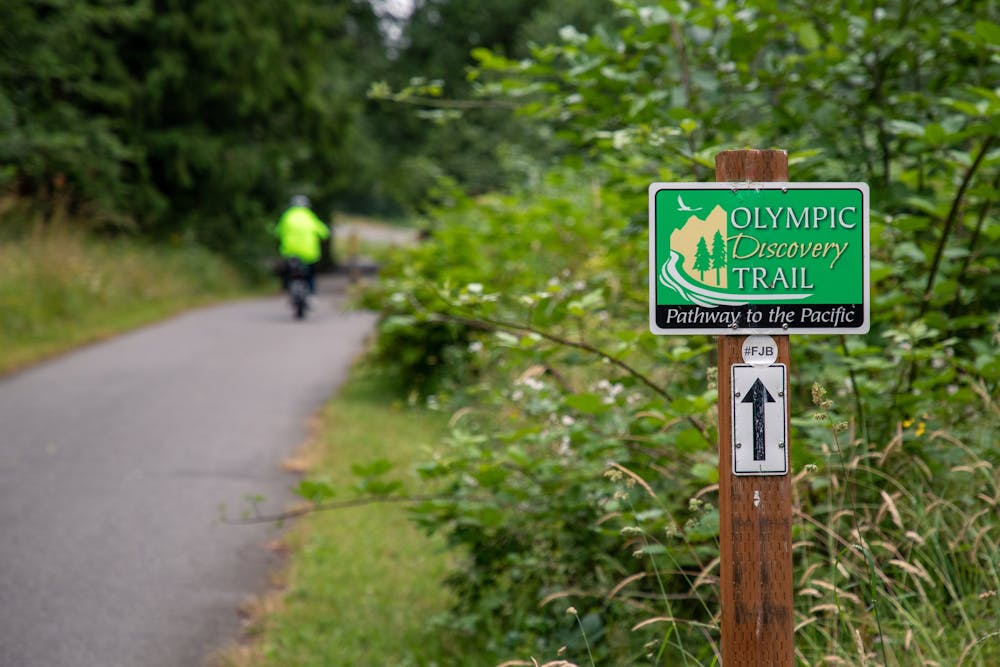
Olympic Discovery Trail
An epic adventure ride across the Olympic Peninsula.
Gravel Biking Moderate
- Distance
- 207 km
- Ascent
- 1.6 km
- Descent
- 1.6 km
- Duration
- 1 day +
- Low Point
- 1 m
- High Point
- 370 m
- Gradient
- 2˚

The Olympic Discovery Trail is a long-distance adventure cycling route that runs for 129 miles across the Olympic Peninsula. Beginning in Port Townsend, it runs all the way to La Push on the western coast.
Description
This epic ride is the perfect way to experience the unbelievable grandeur of the Olympic Peninsula. The trail visits the coastal areas, which are typified by rugged shorelines, tidal pools, and dramatic ocean views. The trail also runs through the lush rainforest that the peninsula is known for, beautiful river valleys (such as the Elwha River valley and the Sol Duc River valley), other wetlands, and also provides glimpses of the majestic Olympic Mountains in the center of the peninsula.
At this time, the route consists of a combination of bike paths and local roads. Approximately 90 miles of the trail have been developed as a dedicated path. Consequently, riders should expect to encounter a multitude of surfaces along the way, including asphalt, crushed stone, and dirt. This makes it ideal for gravel bikers, but mountain bikers, road cyclists, hikers, and trail runners all use the trail.
Sources: https://olympicpeninsula.org/stories/olympic-discovery-trail/ https://www.traillink.com/trail/olympic-discovery-trail/ https://www.wta.org/go-hiking/hikes/olympic-discovery-trail-morse-creek-trailhead https://en.wikipedia.org/wiki/OlympicDiscoveryTrail
Difficulty
Moderate
Remoteness

Away from help but easily accessed.