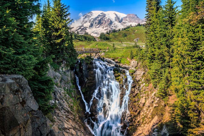
7.8 km away
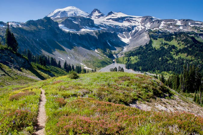
PCT: Chinook Pass to Snoqualmie Pass
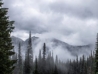
Leaving Mount Rainier on a lofty mountain crest, then traveling miles of forest mosaic on a long series of hills to reach Snoqualmie Pass.
Moderate Hiking
- Distance
- 109 km
- Ascent
- 3.5 km
- Descent
- 4.3 km
Beautiful trail that connects to the PCT, with views of Crystal Mountain ski area
Hiking Easy

This is a popular hiking route which is generally considered to be easy. It's an unknown remoteness, it features unknown exposure and is typically done in an unknown time of year. From a low point of 1.3 km to the maximum altitude of 1.8 km, the route covers 3 km, 412 vertical metres of ascent and 0 vertical metres of descent.

Follow the service road uphill to the top switchback where the trail begins on uphill side of service road. Continue on the Pacific Crest Trail for a longer hike.
Easy
Walking along a well-kept trail that’s mostly flat. No obstacles are present.
7.8 km away
Leaving Mount Rainier on a lofty mountain crest, then traveling miles of forest mosaic on a long series of hills to reach Snoqualmie Pass.
Moderate Hiking
8.4 km away
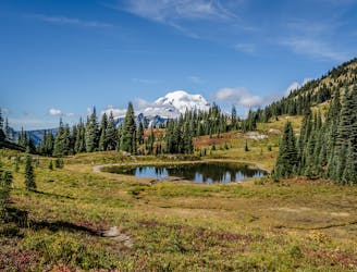
Enjoy stunning views of Mount Rainier National Park while circumnavigating Naches Peak.
Moderate Hiking
10 routes · Hiking

72 routes · Hiking
8 routes · Hiking