1.8 km away
Lake Serene and Bridal Veil Falls

A stiff climb to a spectacular alpine lake below the formidable peak of Mount Index.
Severe Hiking
- Distance
- 12 km
- Ascent
- 778 m
- Descent
- 778 m
A short hike up an artfully-built trail leads to jaw-dropping views of the Cascades.
Hiking Moderate

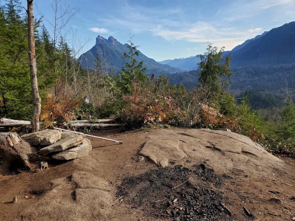
"This short, moderately steep hike will take you through a rocky, moss covered forest to an incredible view of nearby peaks," writes WTA.org. The views of the surrounding peaks are definitely a sweet reward! When you reach the top of the ridge, you'll be greeted by epic views all around you.
Your access to this incredible viewpoint is all due to the superb work of the Washington Trails Association. This trail was just finished in 2017, making it one of the newest hiking trails in the Seattle Area. As you hike, be sure to observe the well-built switchbacks, rock steps, and turnpikes that all combine to create an enjoyable and sustainable hiking trail.
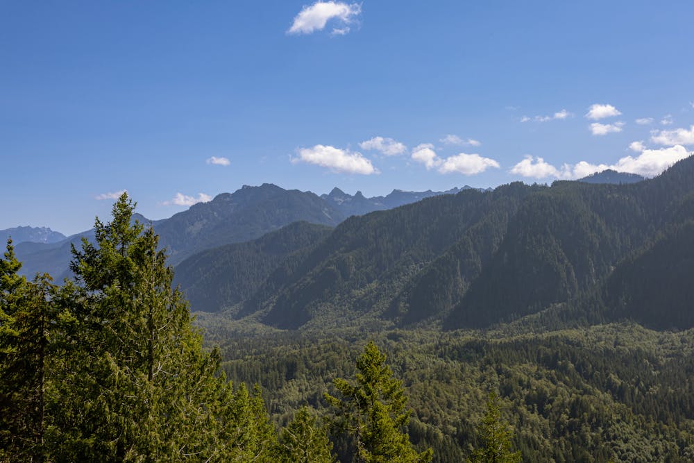
Along the hike, you'll pass through a deciduous forest down low, and as you climb, you'll reach "second-growth Douglas firs, western hemlocks, and western redcedars that carpet the sides of the rock wall beneath Heybrook Ridge," according to WTA.org. "Groundcover includes sword and deer ferns, thimbleberry, salmonberry, vine maple, and Cascade-Oregon grape."
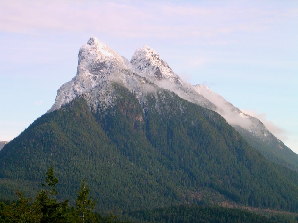
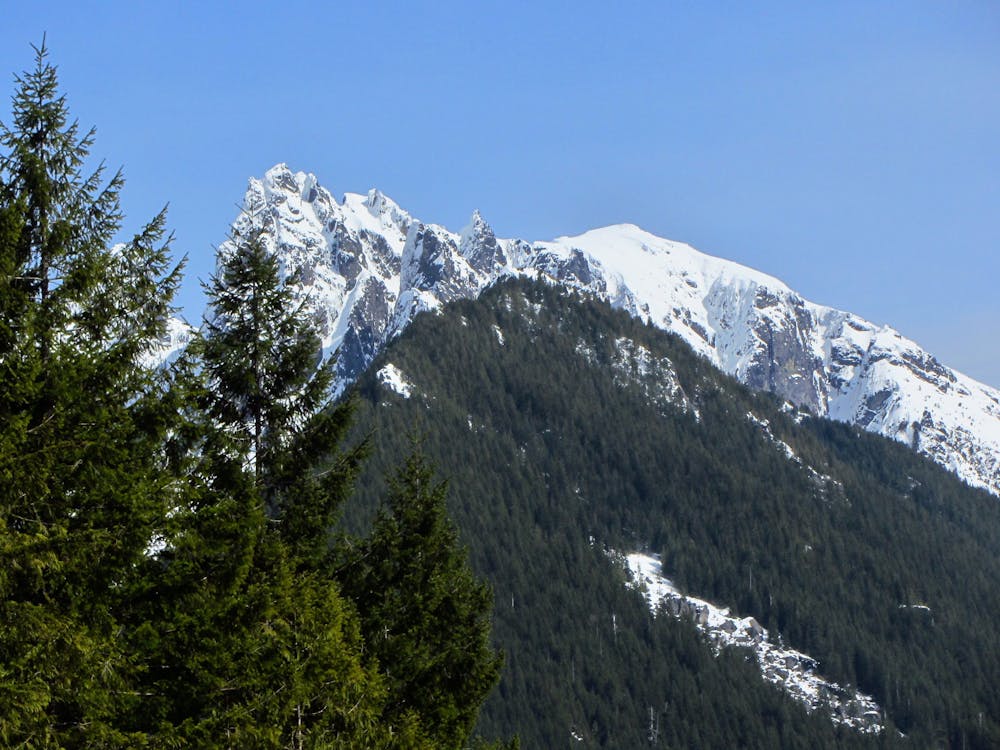
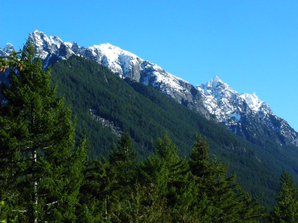
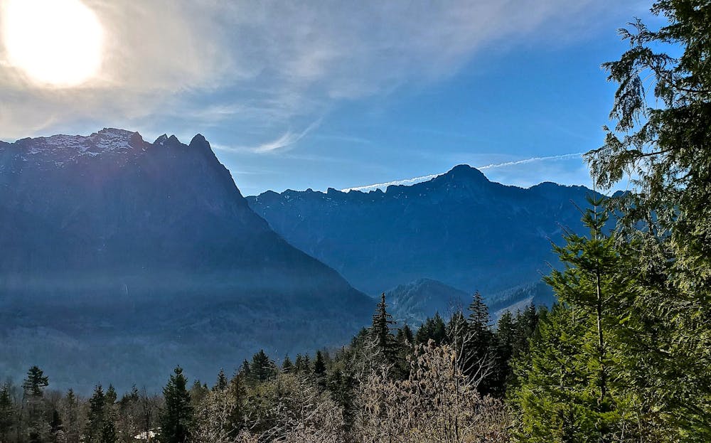
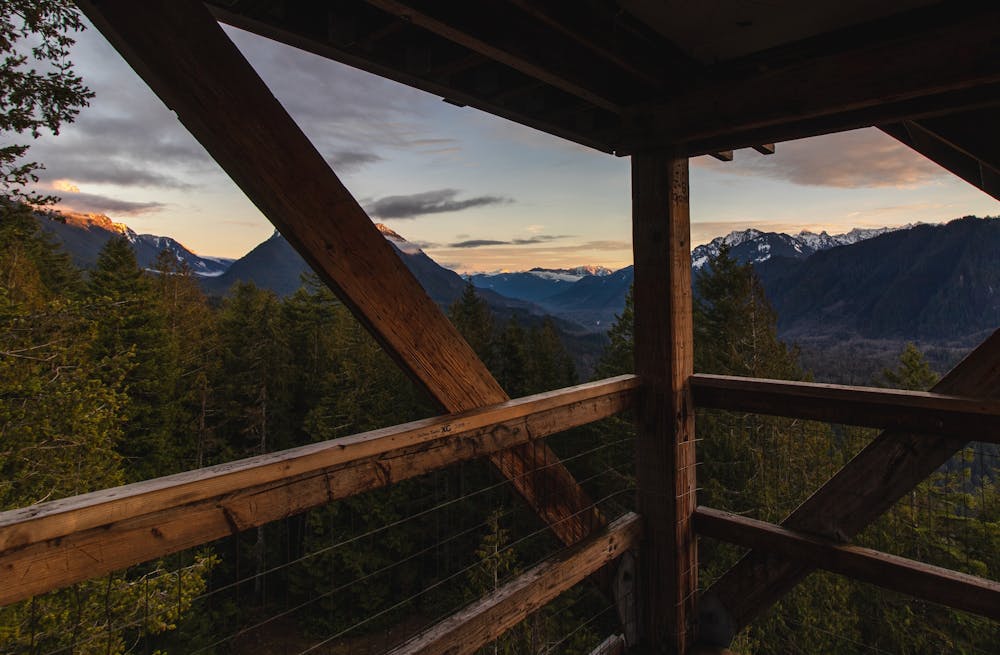
Few hikes provide views this grand for such a minimal amount of work. By Cascade standards, the 900 feet of climbing (according to FATMAP) in 1.6 miles to reach the top of the ridge is a quick walk in the park. (Note: Outside Online and WTA.org list the elevation gain as 770-780 feet.) From the top of the ridge, you'll enjoy views of Mt. Index, Baring Mountain, Mt. Persis, Bridal Veil Falls, the Skykomish Valley, and more!
Sources: https://wta.org/go-hiking/hikes/heybrook-ridge https://www.outsideonline.com/2404959/6-great-hikes-do-seattle
Moderate
Hiking along trails with some uneven terrain and small hills. Small rocks and roots may be present.

The trail contains some obstacles such as outcroppings and rock which could cause injury.
Away from help but easily accessed.
1.8 km away
A stiff climb to a spectacular alpine lake below the formidable peak of Mount Index.
Severe Hiking

10 routes · Hiking

19 routes · Hiking