5 routes · Hiking
The most popular summer route to the top of Mount St. Helens.
Hiking Severe

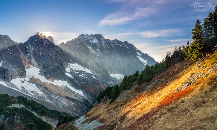
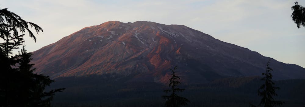
Mount St. Helens is famous as one of the most active volcanoes in the Lower 48, with its 1980 eruption cementing it in the collective national memory. While this volcano is still very much alive and active, it is actually the only one of the five volcanoes in Washington that doesn't require any technical mountaineering skills to climb it.
A hike to the summit of this active volcano is unlike any other peak hike that you're ever likely to undertake! On the flanks of Mount St. Helens, "you get the opportunity to see recent geologic history firsthand," according to Hannah Singleton on WildlandTrekking.com. "This dynamic landscape is in flux: the lava dome atop Mount St. Helens has grown as the years pass" and "a new glacier has since wrapped around the rocky crater rim and continues to advance," she continues. Since this landscape is ever-changing, it's not a bad idea to plan your hike sooner rather than later!
Even though the climb to the rim of the volcanic crater is non-technical, that doesn't make it easy! This hike is steep and arduous, gaining over 4,800 vertical feet in a short 4-mile climb to the rim.
The first two miles wind through the forest on a well-graded trail, but once you break out of the trees, the climb gets much more difficult.
"The next 2500 vertical feet is through boulder fields – and not any ordinary boulder fields," according to WTA.org. "These rocks are dusted with an ash pumice that can shred the skin in a fall," they warn. "You'd be wise to bring garden gloves for this section!"
The final thousand-foot climb to the rim slowly ascends a field of loose, sliding ash and small rocks. With the soil sliding backward with every step, each foot of upward progress is hard-won! Most sources recommend gaiters to keep dirt out of your boots, and trekking poles for stability and to aid with your upward power.
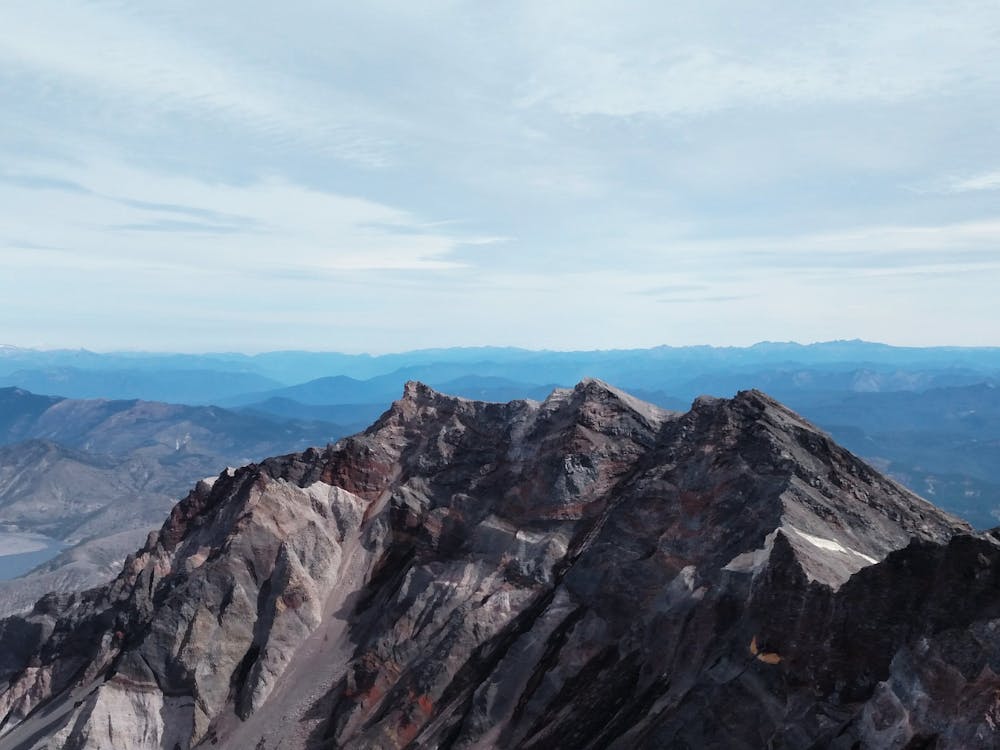
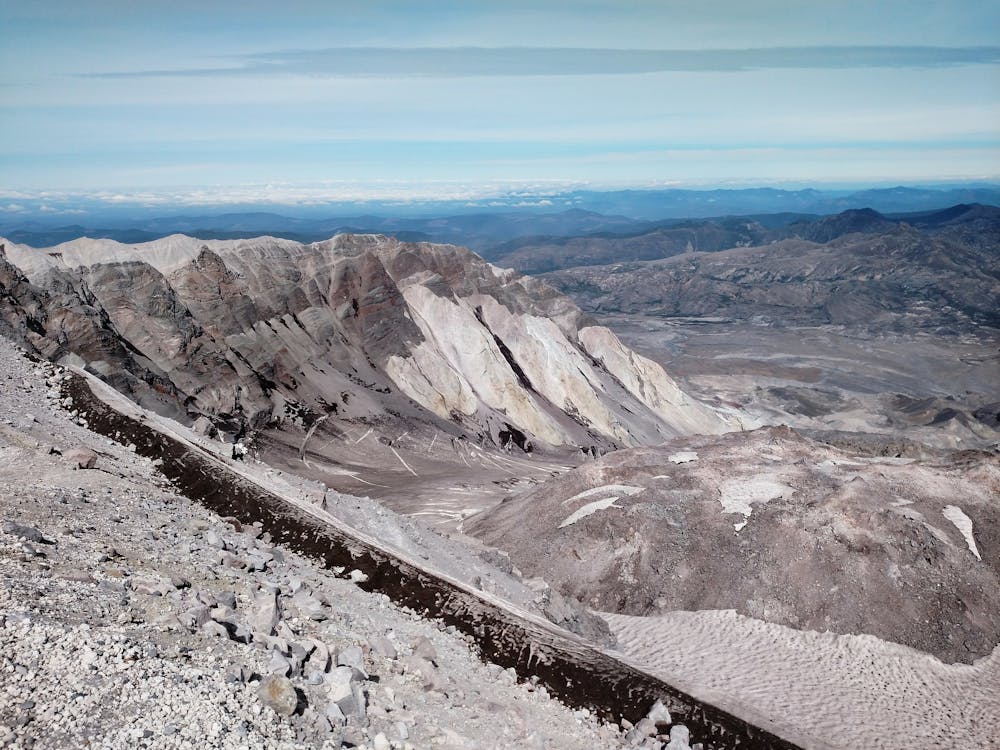
Once on the rim of the crater, soak in the stupendous views as you observe volcanic history in the making. Steam rises from vents, lava flows nearby, and lava domes expand slowly. And around it all, you can see the incredible destruction from the infamous 1980 eruption.
Remain cautious of snow cornices along the rim, which can crumble without warning. Once you've had your fill of the views of the cauldron, turn around and return the way you came.
Sources: https://www.wildlandtrekking.com/blog/top-five-summit-hikes-in-washington/ https://www.wta.org/go-hiking/hikes/mount-st-helens-monitor-ridge https://www.summitpost.org/monitor-ridge/155892 https://volcanoes.usgs.gov/volcanoes/sthelens/sthelenshazard74.html
Severe
Hiking challenging trails where simple scrambling, with the occasional use of the hands, is a distinct possibility. The trails are often filled with all manner of obstacles both small and large, and the hills are very steep. Obstacles and challenges are often unexpected and can be unpredictable.

The trail contains some obstacles such as outcroppings and rock which could cause injury.

In the high mountains or remote conditions, all individuals must be completely autonomous in every situation.
5 routes · Hiking