3.6 km away
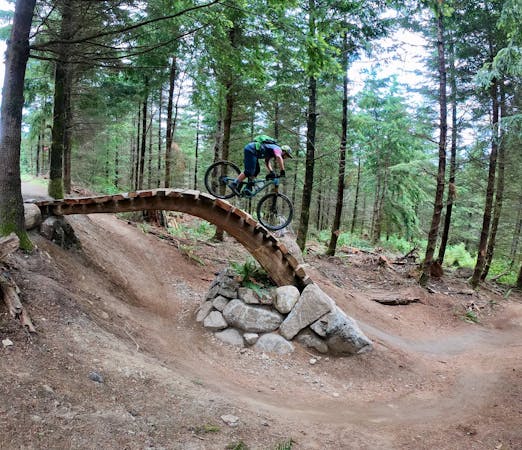
Duthie Hill

The crown jewel of Seattle mountain biking!
Difficult Mountain Biking
- Distance
- 9.2 km
- Ascent
- 171 m
- Descent
- 171 m
A point-to-point multi-use trail connecting Duthie Hill and West Tiger
Mountain Biking Moderate
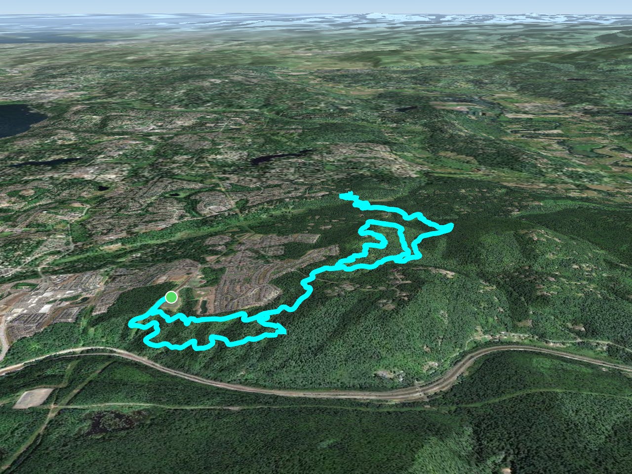
Grand Ridge Park was "established to provide natural resource preservation and passive recreation along the edge of suburban and rural communities," according to KingCounty.gov. The park is a linear tract of land sandwiched between "Mitchell Hill Forest to the east and the Issaquah Highlands residential development to the west," according to King County. A multi-use trail runs the length of the park, providing superb recreational opportunities in Grand Ridge Park alone, as well as connections to other nearby trail systems, such as Duthie Hill and West Tiger.
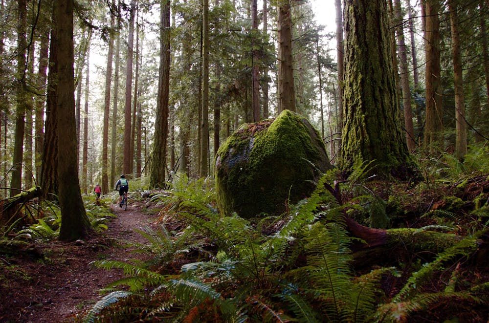
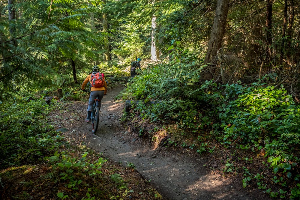
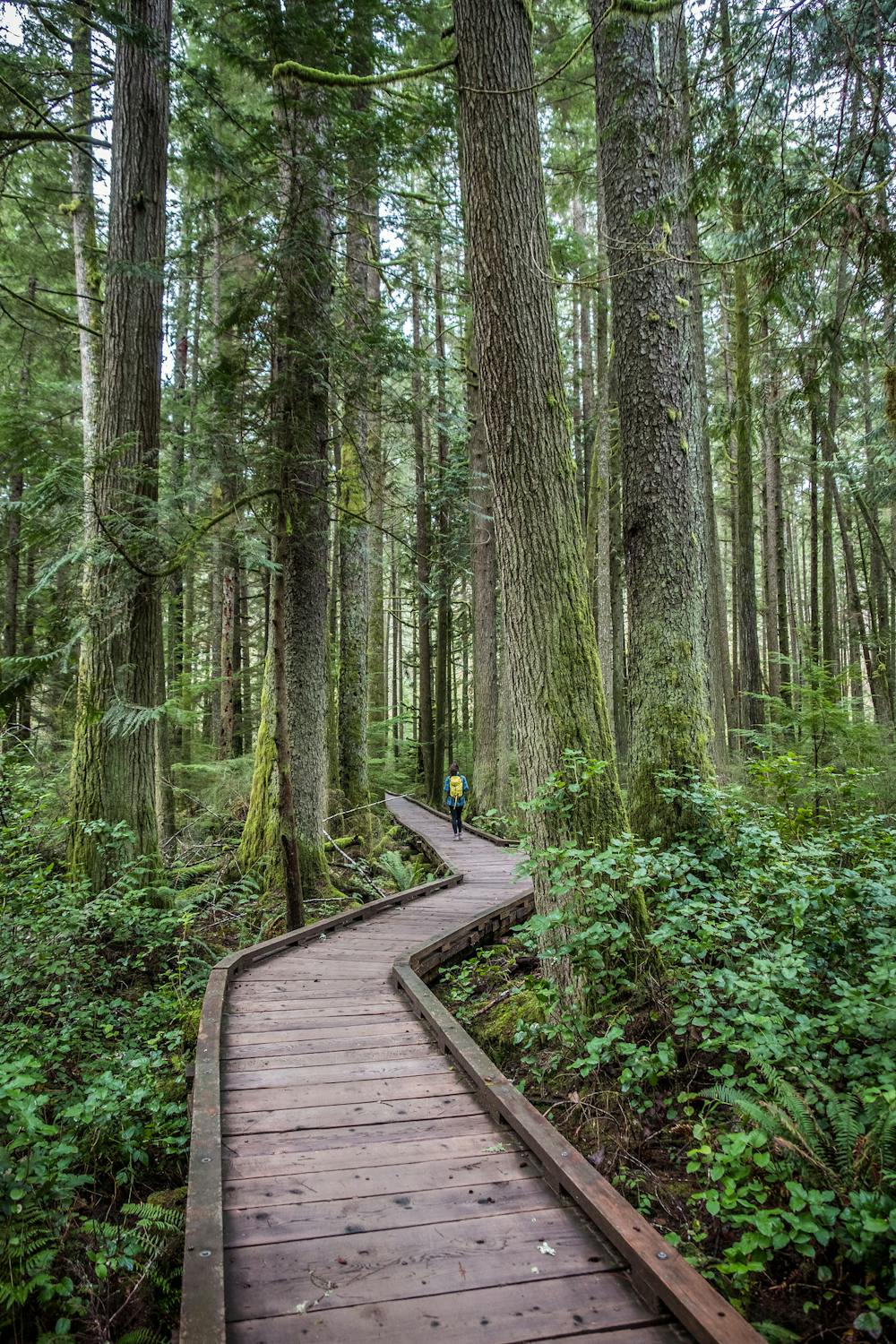
While a network of historic social trails used to exist in this area, many of the trails were wiped out by residential development. Through the help of the Washington Trails Alliance, this new, sustainable point-to-point trail was built. "One of the highlights of the trail is a beautiful 40-foot long, hand-built bridge spanning Canyon Creek," according to WTA.org. The WTA also helped construct a massive 600-foot-long boardwalk to help trail users traverse over a swampy area without doing any environmental damage. The amount of time, effort, and money invested in this suburban gem of a trail is impressive!
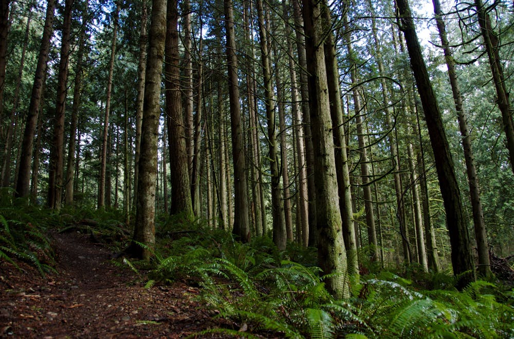
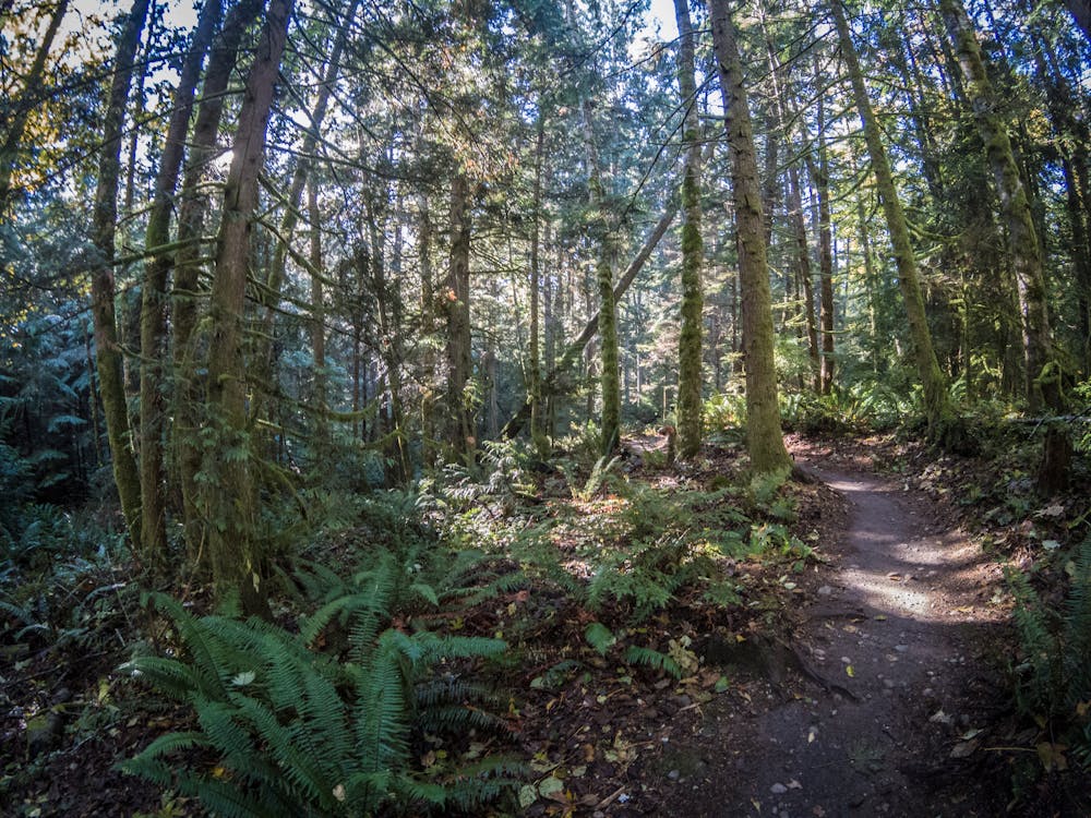
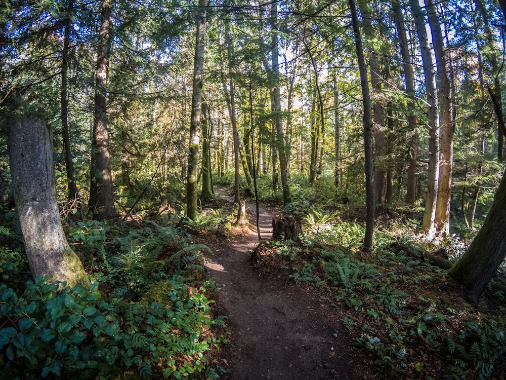
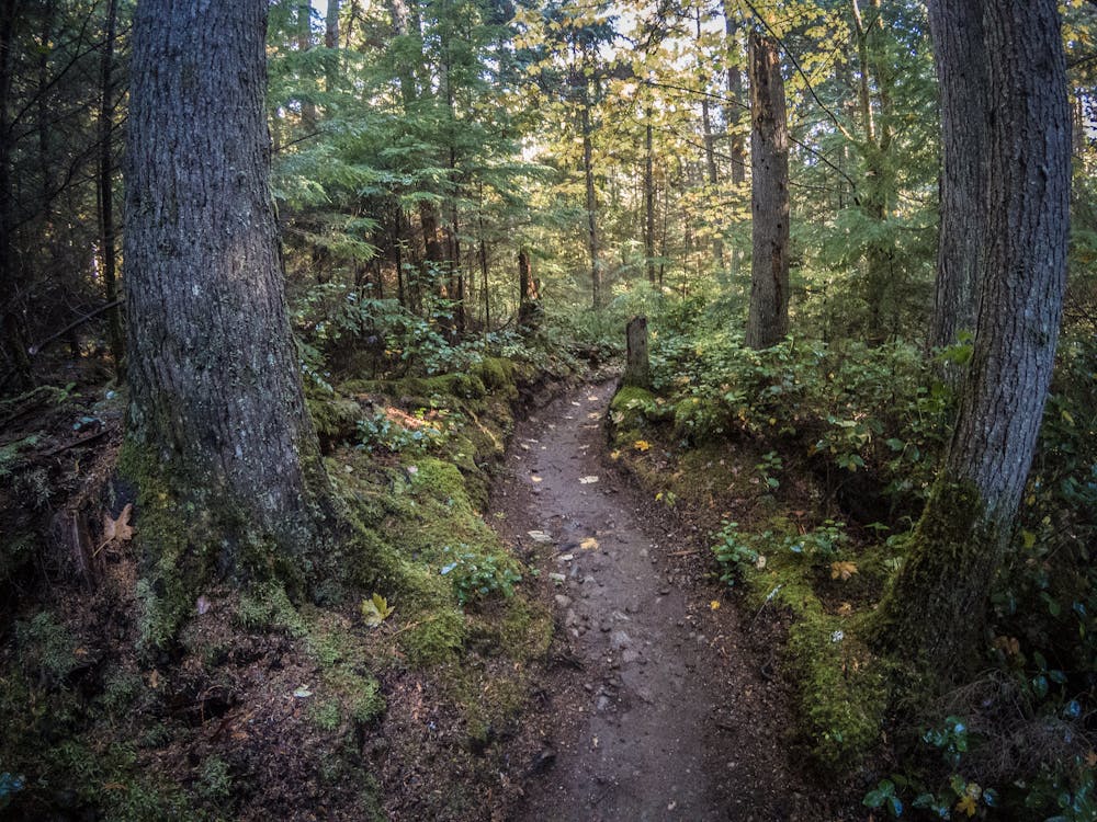
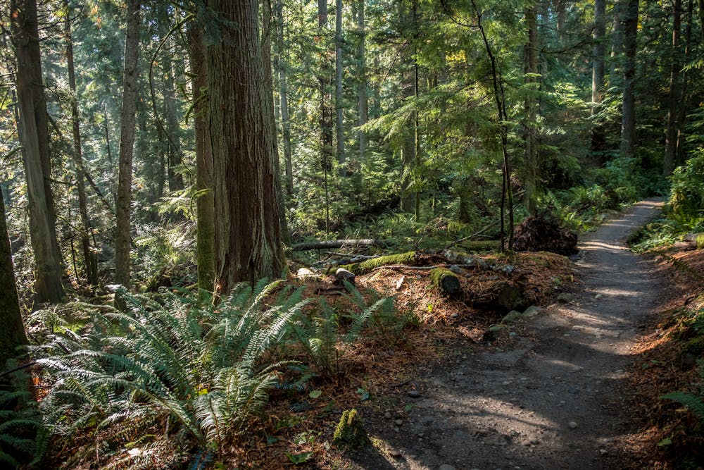
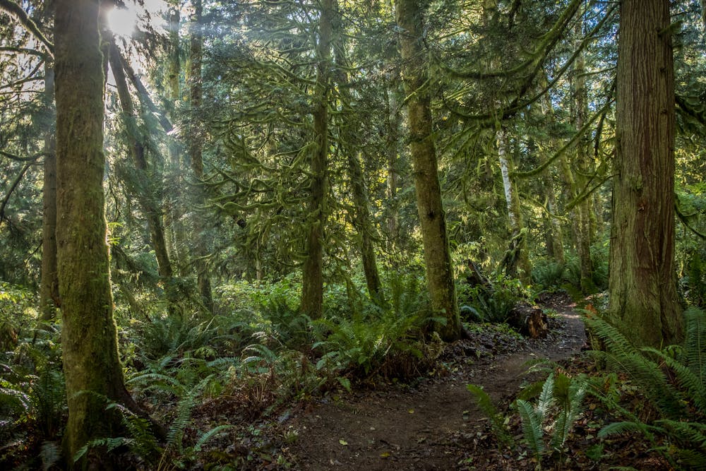
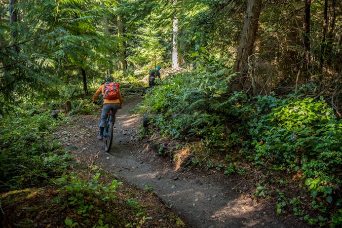
The current Grand Ridge Park Trail is a cross country-style workout with some short—but steep—climbs. Overall, this new multi-use trail is quite smooth and flowy, with well-built switchbacked corners, grade reversals, delightful black PNW dirt, and of course, the aforementioned bridgework!
Riders can either pedal a route combination similar to the one mapped here to maximize the mileage in Grand Ridge Park, or they can jump into the Duthie Hill trail system to the north for some gnarlier ripping. Residents of the Issaquah Highlands area can even use the Grand Ridge Park trail to access Duthie Hill without driving. Finally, additional trails in the West Tiger area can be added on to the southern end of the network by crossing I-90.
The creation of the new Grand Ridge Park Trail has opened up a plethora of amazing ride combinations. Get out and explore them all!
Sources: https://www.kingcounty.gov/services/parks-recreation/parks/trails/backcountry-trails/grand-ridge.aspx evergreenmtb.org/trails/grand-ridge https://www.wta.org/go-hiking/hikes/grand-ridge-park
Moderate
Mostly stable trail tread with some variability, with unavoidable obstacles 8in/20cm tall or less. Other obstacles such as rock gullies and steep sections may exist. Ideal for lower intermediate riders.

The path is on completely flat land and potential injury is limited to falling over.

Away from help but easily accessed.
3.6 km away
The crown jewel of Seattle mountain biking!
Difficult Mountain Biking
9.6 km away

A gnarly double black diamond downhill line on Tiger Mountain.
Extreme Mountain Biking
9.6 km away
The gnarliest trail system near Seattle.
Severe Mountain Biking
8 routes · Mountain Biking

16 routes · Mountain Biking
5 routes · Mountain Biking