5 routes · Ski Touring
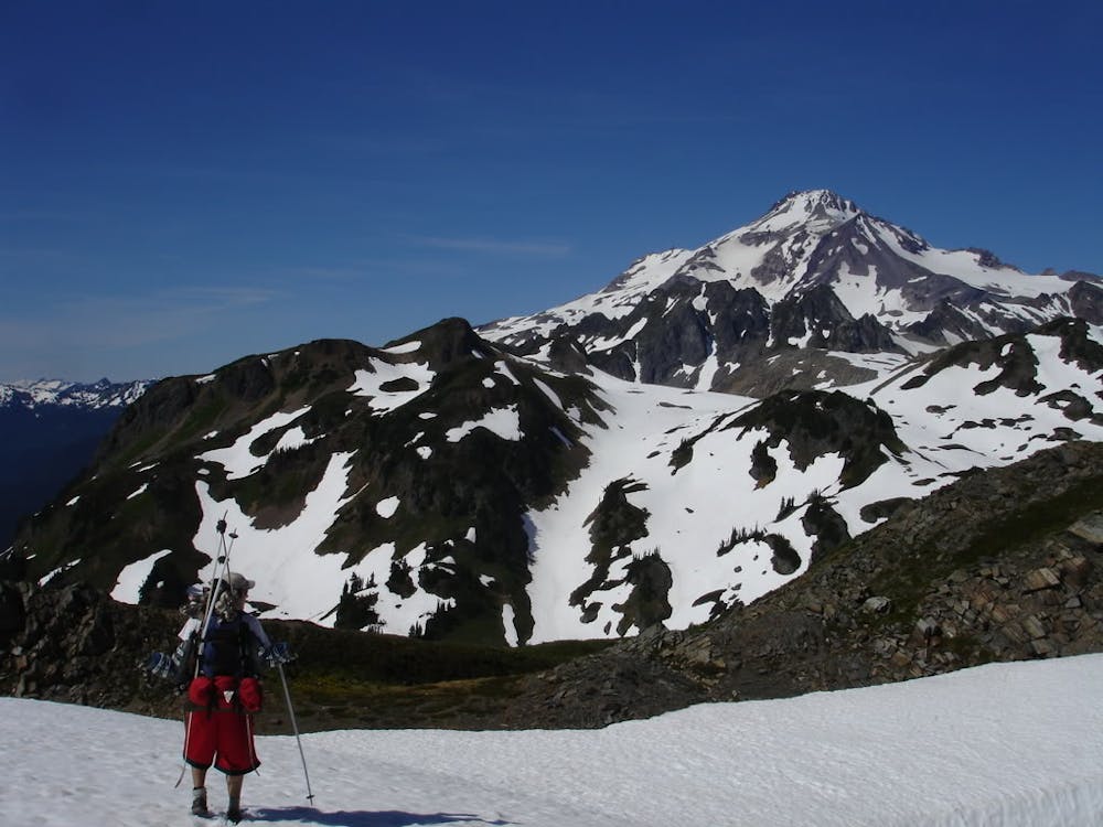
Heading out to the crown of Glacier Peak Wilderness
Ski Touring Moderate

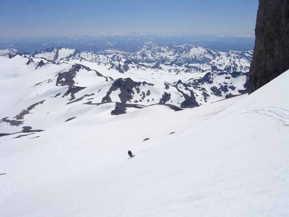
The Gerdine and Cool Glacier route up Glacier Peak has become the standard way into this amazing zone but that doesn’t mean it is easy. There is a reason that this area in known as the most remote volcano within the entirety of the Cascade Range. While some people have done a day trip of this it is few and far between with even an overnight trip being insanely rushed. In exchange for a long approach you will have a nontechnical route all the way to the summit which in my opinion has the best view of the North Cascades. If it is a sunny weekend in the late Spring don’t expect to have this route to yourself.
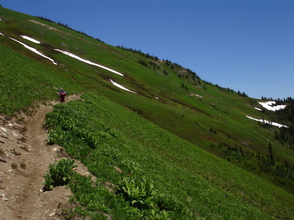
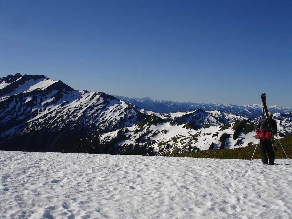
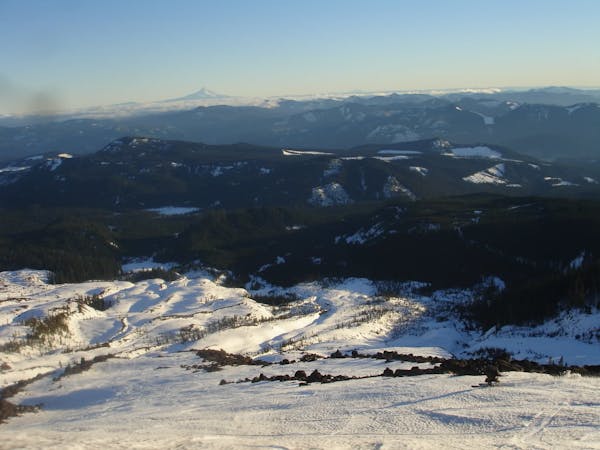
Driving up Forest Road 49 this trip starts at the North Fork of the Sauk River trail. Heading east up the valley soon enough you will arrive at Mackinaw Shelter where you should get a bit of rest before the next section. Starting at 3,000 feet make your way up the switchbacks before arriving on the Pacific Crest Trail and heading over to White Pass at 6,000 feet. From here follow the ridge up to the top of White Mountain where you will get your first view of Glacier Peak.
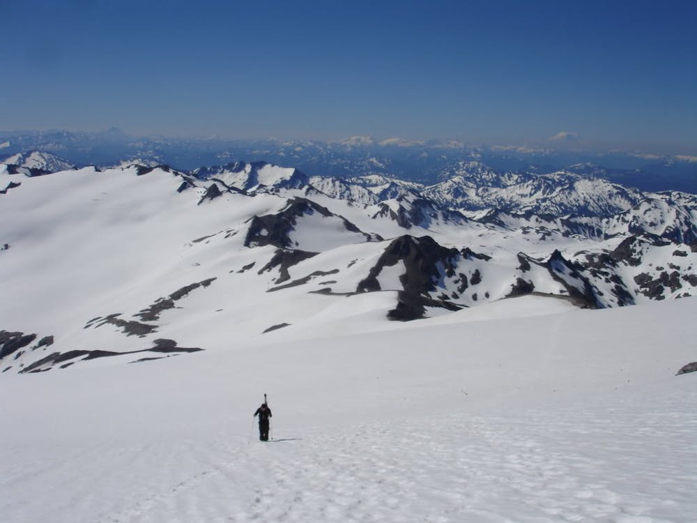
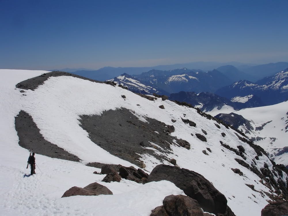
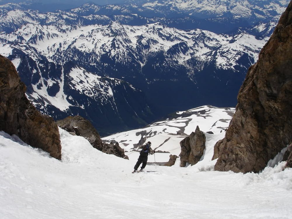
Standing on top of White Mountain there is a great descent down the north face into the basin below where you can follow the flats of the valley arriving into the upper basin right below the White Chuck Glacier. From here keep heading North past the tarn lakes and once at the head of the valley head East up to the low col. Now it is time to follow the snow free ridge before getting onto the glacier around 8,300 feet. Now wrap around Dissapointment Peak heading through the glacial gap up and over to the Cool glacier where you head west up to the ridge that leads all the way to the summit. Now just follow the ridge up to 10,025 feet before getting onto the Southwest face and crampon up the final chute which leads to the summit.
Standing on top of Glacier Peak has a unique feel compared to the other Cascade Volcanoes as you are surrounded by big mountains. Once it is time to head back down just follow your uptrack back down to the ridge. If you want a bit more direct descent you can climb up to Dissapointment Peak and ride down the South face back to the White Chuck Glacier Col. This section is quite flat so don’t be surprised if you have to skin until just northeast of White Mountain. Unlike the route you descended off in this zone it is much easier to climb up the semi mellow ridge just East where after hiking down the south slopes 300 feet you will reach another trail. From here just traverse back to White Pass and make your way back to the North Fork of the Sauk Trailhead.
To see my trip in the area and more photos check out this link https://www.whereiskylemiller.com/stevens-pass/glacier-peak-cool/
Moderate
Slopes become slightly steeper at around 25-30 degrees.

As well as the slope itself, there are some obstacles (such as rock outcrops) which could aggravate injury.

Little chance of being seen or helped in case of an accident.
5 routes · Ski Touring