5 routes · Ski Touring
One of the more classic volcano lines within the Cascades
Ski Touring Moderate

The Southwest Chutes on Mount Adams have to be one of if not the most popular ski tour within the volcanoes of the Cascades. With its easy access all the way to the summit and a consistent 3,000 foot line this descent is great for people of all abilities. While most other places are already melted out for the season this zone is still in its prime until late July.


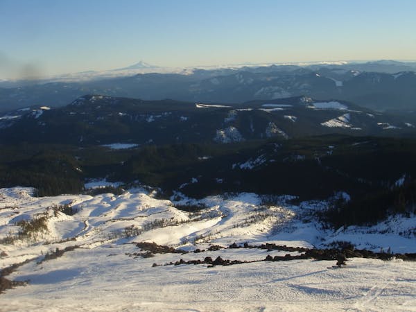
Starting off at the Cold Springs start heading North up the South Climb Trail. This is a relatively easy climb as it slowly gains elevation passing by numerous campgrounds before arriving at the base of the Crescent Glacier. From here you can either skin or crampon up the semi steep face before arriving on the false summit. Standing at 11,500 feet you now have a view of the true summit 700 feet above. You don’t actually have to go up top to ride the Southwest chutes as this is the drop in point but if you decide to keep climbing continue north all the way to the true summit. While a bit more of a slog the last bit is less technical than when you had climbed up the Crescent Glacier Headwall. Standing on top of Mount Adams you now have a great view of Mount Rainier to the North and Mount Hood to the South.
Riding down to the Southwest chutes just retrace your steps back to the false summit before heading West over to where the slopes drop off. The entrance is pretty straightforward as you can look directly into the line without committing. Once deciding to descend the line starts off narrow but quickly widens as you make your way down. After riding 3,000 feet the terrain starts to flatten out as you arrive in the basin below traveling skiers left. Before long the slope will once again drop where you need to make sure to be skiers left of the main drainage. At around 6,100 feet you will hit the Round the Mountain trail where it is time to follow it all the way back to the Cold Springs Campground.
To see my trip in the area and more photos check out this link https://www.whereiskylemiller.com/volcanoes-cascade-mountains/mount-adams-southwest-chutes-2/
Moderate
Slopes become slightly steeper at around 25-30 degrees.

As well as the slope itself, there are some obstacles (such as rock outcrops) which could aggravate injury.
Away from help but easily accessed.
5 routes · Ski Touring