34 m away
The Worm Flows Route on Mount Saint Helens
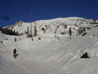
A great introduction to ski touring on the volcanos of the Cascades
Moderate Ski Touring
- Distance
- 14 km
- Ascent
- 1.7 km
- Descent
- 1.7 km
Starting Elevation: 2700 ft. | High Point: 8365 ft. | Time: 7-9 hours | Ski Difficulty: Difficult | Technical Skills: Low
Ski Touring Difficult

This is a popular ski touring route which is generally considered to be difficult. It's remote, it features medium exposure (e2) and is typically done between January and May. From a low point of 820 m to the maximum altitude of 2.5 km, the route covers 17 km, 1830 vertical metres of ascent and 1830 vertical metres of descent. It's graded 3.1 and Labande grade 4. You'll need skins, ice axe and crampons to complete it safely.
Ideal day trip for wide variety of skiing terrain and an easily approachable trailhead.
Difficult
Serious gradient of 30-38 degrees where a real risk of slipping exists.

As well as the slope itself, there are some obstacles (such as rock outcrops) which could aggravate injury.
Away from help but easily accessed.
34 m away
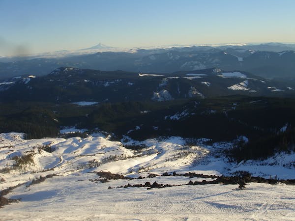
A great introduction to ski touring on the volcanos of the Cascades
Moderate Ski Touring
5 routes · Ski Touring