9 routes · Ski Touring
Climbing up Mount Shuksan from the south
Ski Touring Difficult

While most skiers are familiar with the North side of Mount Shuksan the Southern side offers a completely different personality. With mellow slopes that rise all the way to the summit pyramid this is a great ski tour for those who don’t feel they are ready to climb the North side. Long after the White Salmon River valley is melted out this side has a nice trail all the way up to the Sulphide Glacier. Though I speak of this being an easier climb it is in alpine so needs to have a solid weather forecast.
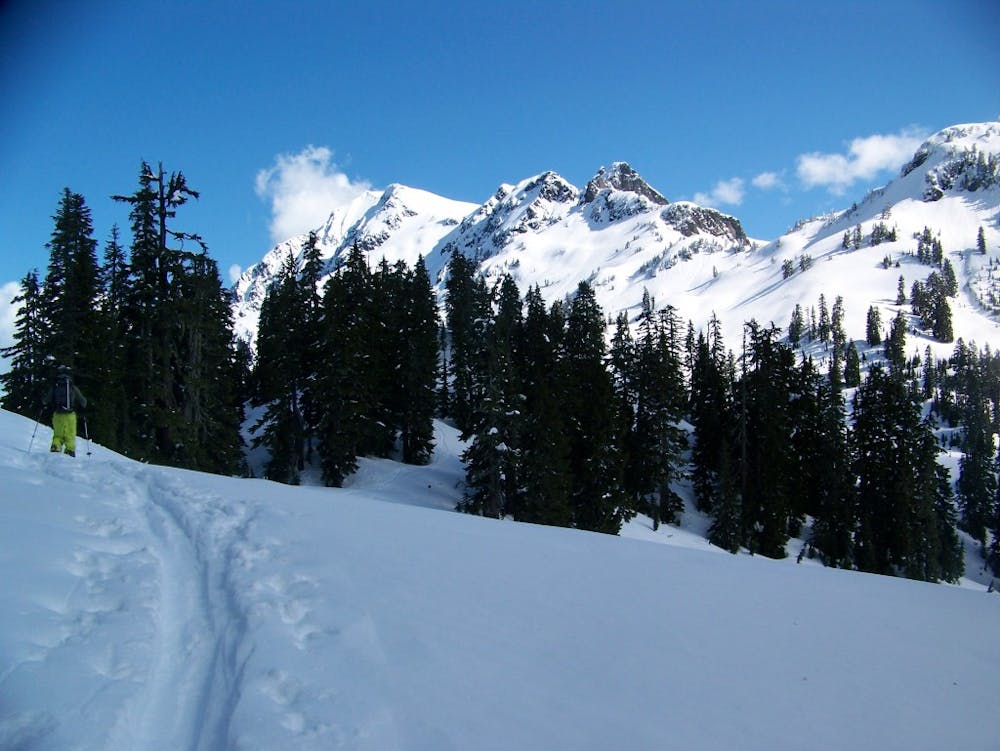
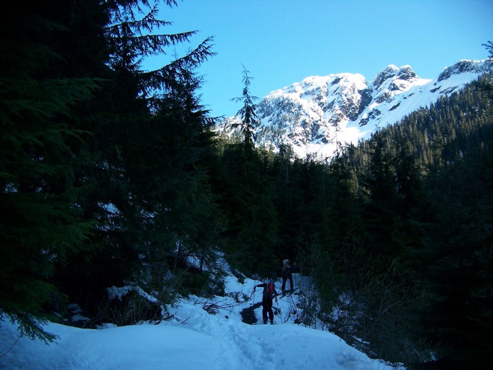
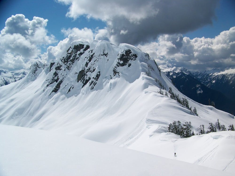
Driving North on the Baker Lake Road turn left on Forest road 1152 following it until it changes to 1125-014 and drive to the end. Parking here you are now at the starting point of the Shannon Ridge Trail. Heading East at first once the trail wraps around into the Shannon Creek Valley it starts climbing immediately. Before long you are up on the ridge and have clear views of Mount Shuksan and the Sulphide Glacier. Making your way up the mellow ridge soon enough it goes around a rocky summit and gets onto the shoulder of Mount Shuksan.
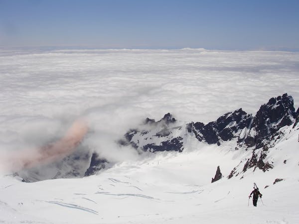
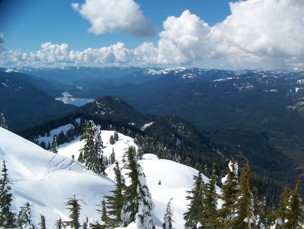
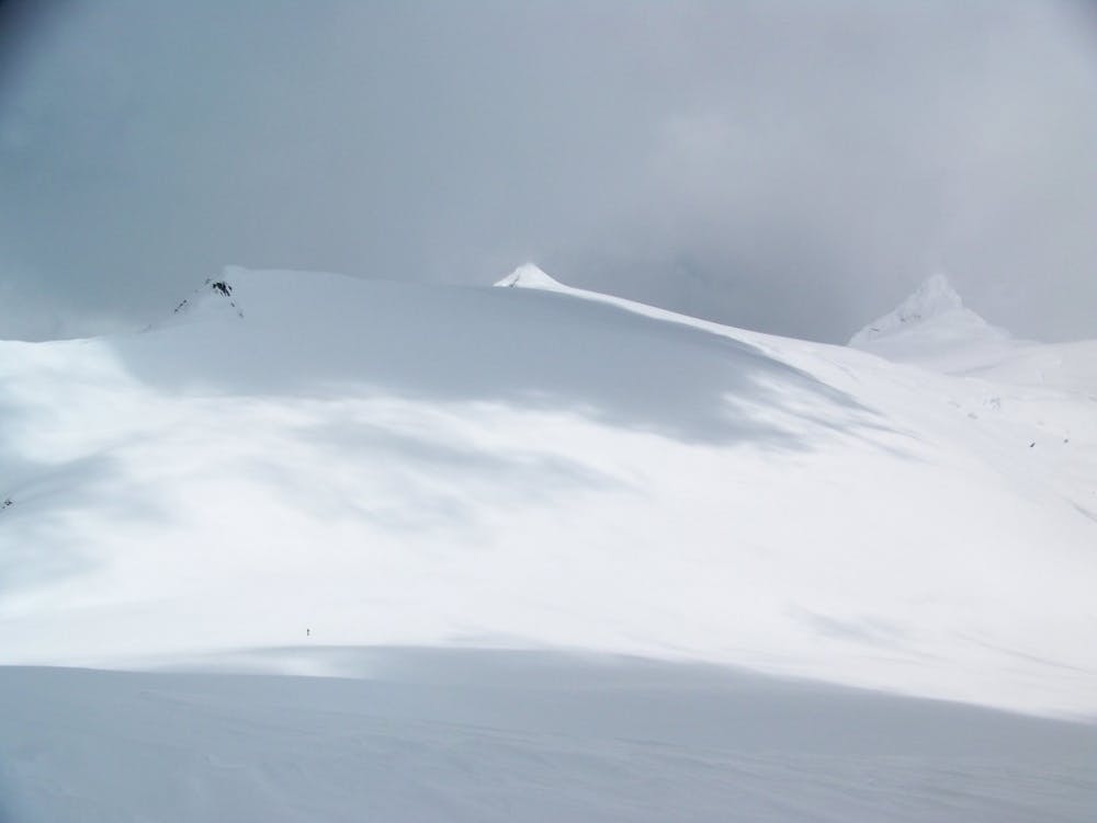
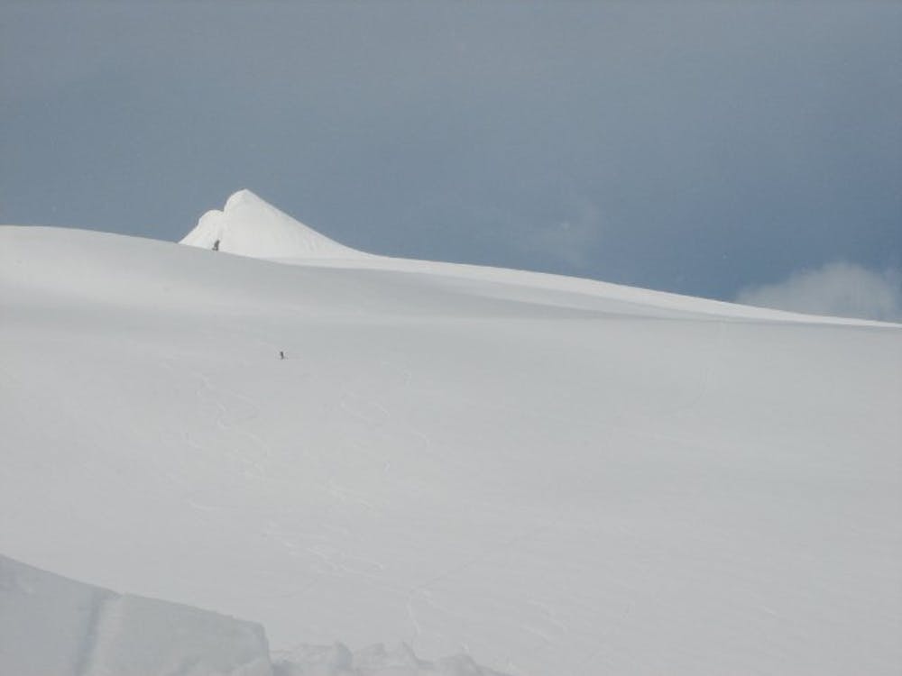
Starting around 5,400 feet you can now start traversing northeast on the south facing bowl and once you arrive on the ridge you will be standing on the Sulphide Glacier. Now make your way up the mellow slopes sticking on the lookers left side slogging up with the summit pyramid in the distance. After a few hours you will be at the base of the summit chute and after putting on crampons climb up the steep face. Standing on top make sure to take in one of the nicer views in all of the North Cascades while transitioning to descent mode.
Riding down is pretty straightforward as you loosely follow your ascent route making sure to not get sucked into the lower glacier as anywhere other then the high ridge is heavily crevassed. Riding down as low as snow allows it is of vital importance that you make your way back to the Shannon Ridge trail as this is the only southern route cut through the legendarily thick forests.
When we did this route we had to turn back near Hells Highway because of weather but since then I’ve done the upper section numerous times via the north
To see my trip in the area and more photos check out this link https://www.whereiskylemiller.com/highway-20/mount-shuksan-sulphide-glacier/
Difficult
Serious gradient of 30-38 degrees where a real risk of slipping exists.

As well as the slope itself, there are some obstacles (such as rock outcrops) which could aggravate injury.

Little chance of being seen or helped in case of an accident.
9 routes · Ski Touring