1 m away
Crown Point Area
The perfect ski tour within the Crown Point area
Moderate Ski Touring
- Distance
- 10 km
- Ascent
- 1.5 km
- Descent
- 1.5 km
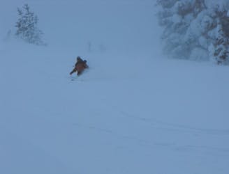
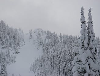
Making the most out of a day around Norse Peak
Ski Touring Moderate

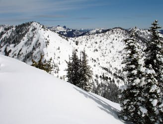
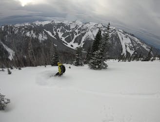
Norse Peak is the crown of Norse Peak Wilderness and the highest point within the Crystal Mountain Valley. Looking Northeast from the ski hill it is the high point within a long extending ridge that goes all the way down to 410. While there are many other amazing ski tours that you pass up this is one of the more scenic areas within the Crystal Mountain Backcountry. Stated a bit more simply this is more of a scenic tour than getting into the steeps.
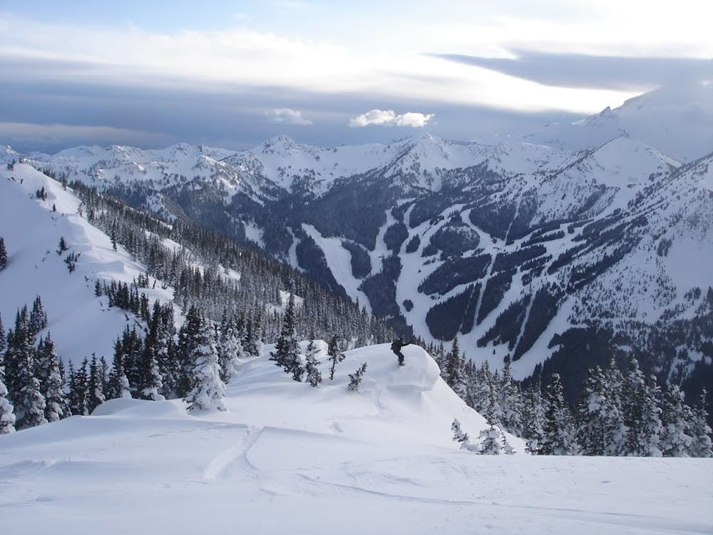
There is a fast route up to Norse Peak and a safe route so since this is an app where anyone can read it I will put down the safe one even though even that is not 100% safe. Starting off at the base of Crystal Mountain you will notice a groomer on the lookers left of Gold Hills which is the route you want to ascend. Before long there will be a switchback where it is a hard right towards the top of Gold Hills lift but on the left you will see a sign for the Bullion Basin Summer trail, this is where you want to go.
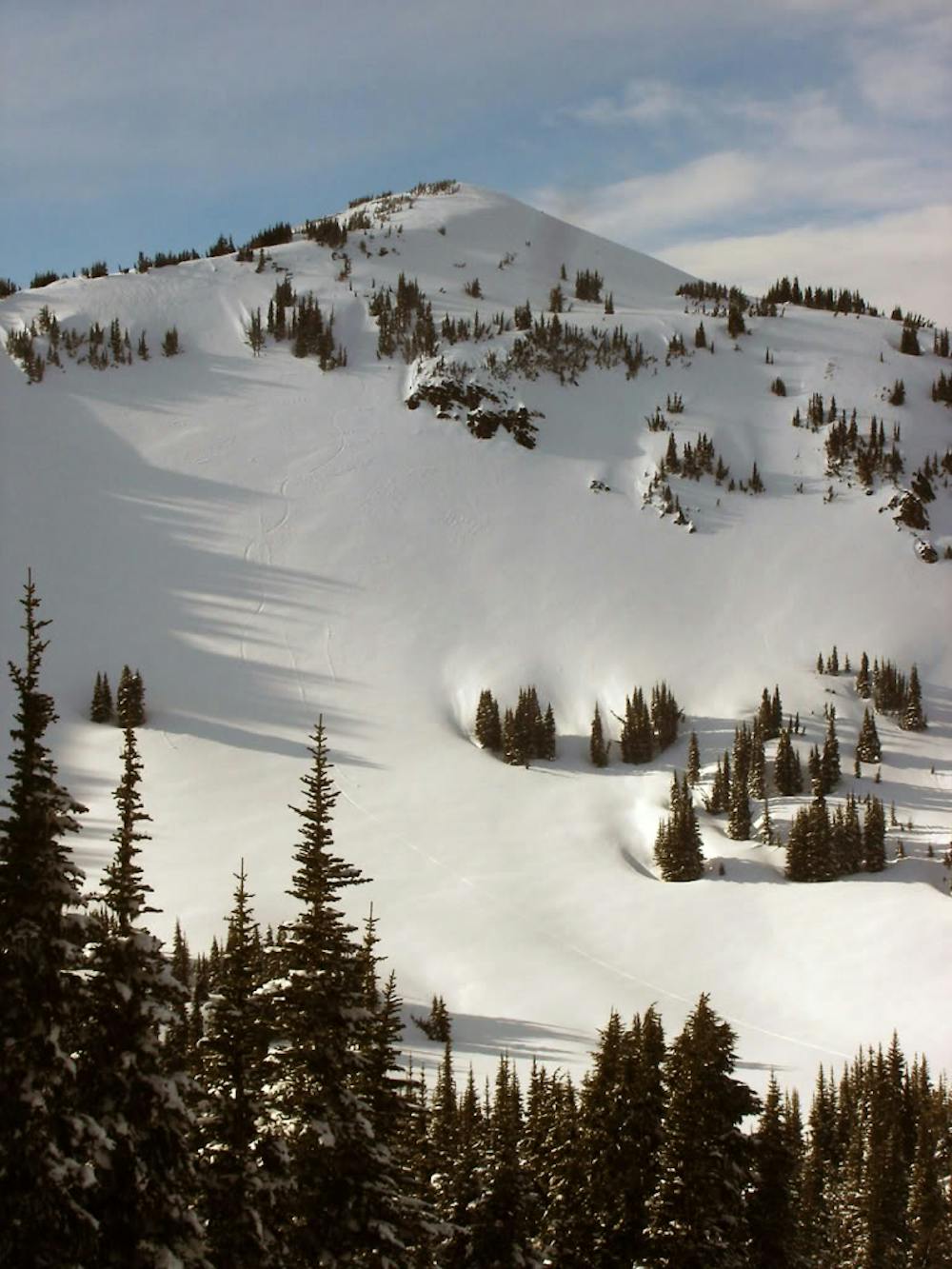
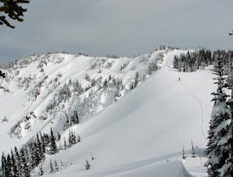
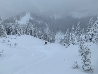
Following the Bullion Basin Summer trail you can take the long and easy trail to the left or the fast and a bit more advanced trail on the right. Whichever one you choose soon enough you will be back on the main trail and heading towards the lower basin of Bullion Basin. Once there you still have a small switchback that will take you to the standard East Peak ascent route. Sticking in the semi dense trees it is time to start climbing and once you are just below the summit ridge you can start making a long traverse north and when I say long it is LONG.
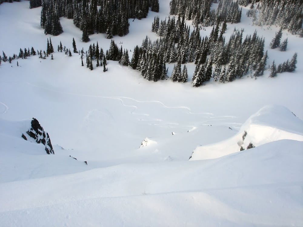
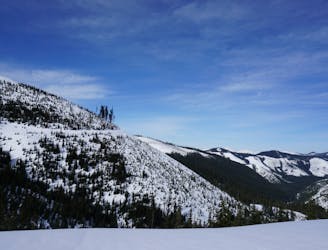
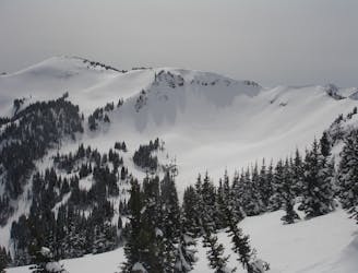
Soon enough you will make it to the top of Lake Basin and need to drop elevation to make it to Scouts Pass before following the ridge all the way to the summit of Norse Peak. Standing on top there is an open slope just to the south that will take you into Lake Basin. This line is short and sweet but really shines if you get it in good corn conditions.
Once in Lake Basin the safest route to head back up is by heading Southeast until you arrive on a mellow ridge then from here make the final push up to the ridge. From here head west towards the main Crystal Valley and once on top check your watch, if there is time this is a great time to once again drop into Lake Basin and follow your just freshly broken skin track back up for the final descent down the East Peak area.
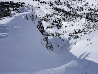
For your final ascent from the high point don’t get greedy and make sure to do a hard skiers left ski traverse until you are near the west ridge of East Peak and start making your descent. Before long the ridge will drop off and you will start riding through dense trees. Don’t loose too much elevation because once again you need to do a hard skiers left traverse to the Bullion Basin Summer trail where you can ride all the way back to the base after a small flat section.
Click here for a trip within the area and much more photos https://www.whereiskylemiller.com/crystal-mountain/norse-peak/
Moderate
Slopes become slightly steeper at around 25-30 degrees.

As well as the slope itself, there are some obstacles (such as rock outcrops) which could aggravate injury.

Little chance of being seen or helped in case of an accident.
1 m away
The perfect ski tour within the Crown Point area
Moderate Ski Touring
1 m away
The perfect day ski touring on East Peak
Moderate Ski Touring
3 m away
A 4 day trip though dense forests in an area usually only used in Summer
Difficult Ski Touring
3 m away
A sketchy line made even sketchier by its remoteness
Difficult Ski Touring
5 m away
A brutal journey to a nice north facing basin
Difficult Ski Touring
5 m away
A classic link up of some great lines in Lake Basin
Difficult Ski Touring
9 m away
A scenic tour following the border of Norse Peak Wilderness
Moderate Ski Touring
23 m away
These are the two main ski tours off of Bullion Peak
Moderate Ski Touring
56 m away
Linking up 3 great runs in a single day
Moderate Ski Touring
64 m away
Two options for riding the Gunbarrel area
Moderate Ski Touring

11 routes · Ski Touring