Rainy Lake Overlook
Great line that is visible from the highway pull off.
Ski Touring Difficult
- Distance
- 6.1 km
- Ascent
- 821 m
- Descent
- 821 m
- Duration
- 3-4 hrs
- Low Point
- 1.3 km
- High Point
- 2 km
- Gradient
- 39˚

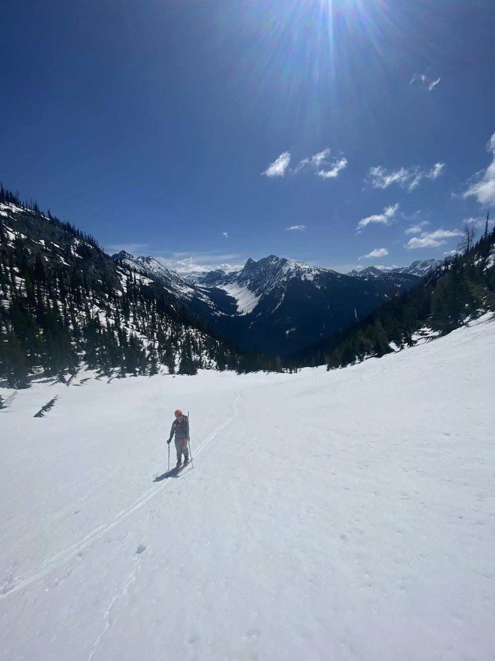
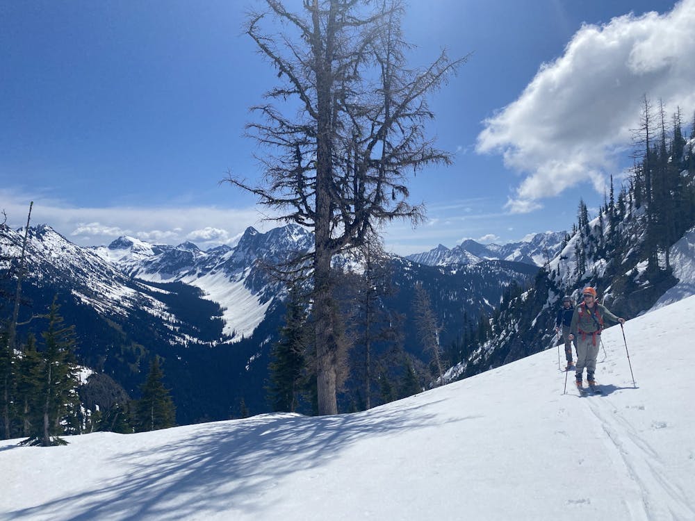
Head downhill from the highway pull off and toward the bridge creek / PCT bridge. Cross the bridge and head toward the chute working your way up and toward skiers left. Once it gets a bit steeper, work your way into the trees for some kick turns. Slowly work your way back toward the drainage and up out of the trees. Pay attention to potential slide areas as you work your way up some steeper sections. Cut through the trees for a more sheltered approach as the slope decreases. Find yourself at the saddle with great views all around. Head back the way you came with better turns staying to skiers right of your approach.
- •
- •
Difficulty
Difficult
Serious gradient of 30-38 degrees where a real risk of slipping exists.
Medium Exposure (E2)

As well as the slope itself, there are some obstacles (such as rock outcrops) which could aggravate injury.
Remoteness

Little chance of being seen or helped in case of an accident.
Best time to visit
Features
- Alpine
- Tree Skiing
Equipment required
- Skins