Greenbrier River Trail
A gorgeous rails to trails route through one of West Virginia's most remote regions.
Gravel Biking Easy
- Distance
- 125 km
- Ascent
- 830 m
- Descent
- 1.1 km
- Duration
- 7-8 hrs
- Low Point
- 518 m
- High Point
- 747 m
- Gradient
- 2˚

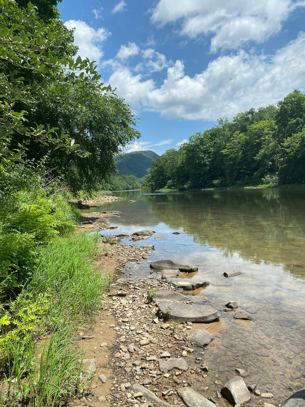
The Greenbrier River Trail is a lengthy rails-to-trails route that winds its ways along the banks of the eponymous rivers for 78 miles. This incredible route offers a fantastic point-to-point bike ride or an even more epic out-and-back route. Some riders might even choose to turn this into a multi-day ride, thanks to the campsites situated along the trail, although fit riders can undoubtedly complete it in a single day.
Description
The Greenbrier River Trail is famous for the 35 bridges it crosses and two of the tunnels it runs through as it traverses one of West Virginia's most remote areas.
While this trail has been uploaded as a gravel biking route, it's also extremely common for hikers, runners, and dog walkers to utilize shorter sections of this trail from the various parking lots, trailheads, and access points.
Sources: https://wvstateparks.com/park/greenbrier-river-trail/ https://wvrailtrails.org/railtrail/greenbrier-river-trail/ https://en.wikipedia.org/wiki/GreenbrierRiverTrail
Difficulty
Easy
Remoteness

Away from help but easily accessed.