4.4 km away
Black Mountain Fire Interpretive Trail
A short boardwalk with waysides highlighting the historic logging efforts that took place nearby.
Easy Hiking
- Distance
- 373 m
- Ascent
- 9 m
- Descent
- 9 m
A quick walk on Highland Scenic Highway to a nice view of Cranberry Glades.
Hiking Easy

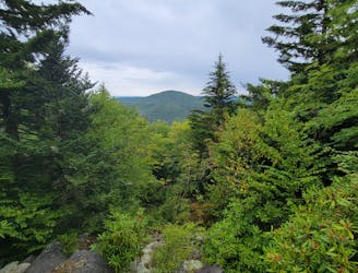
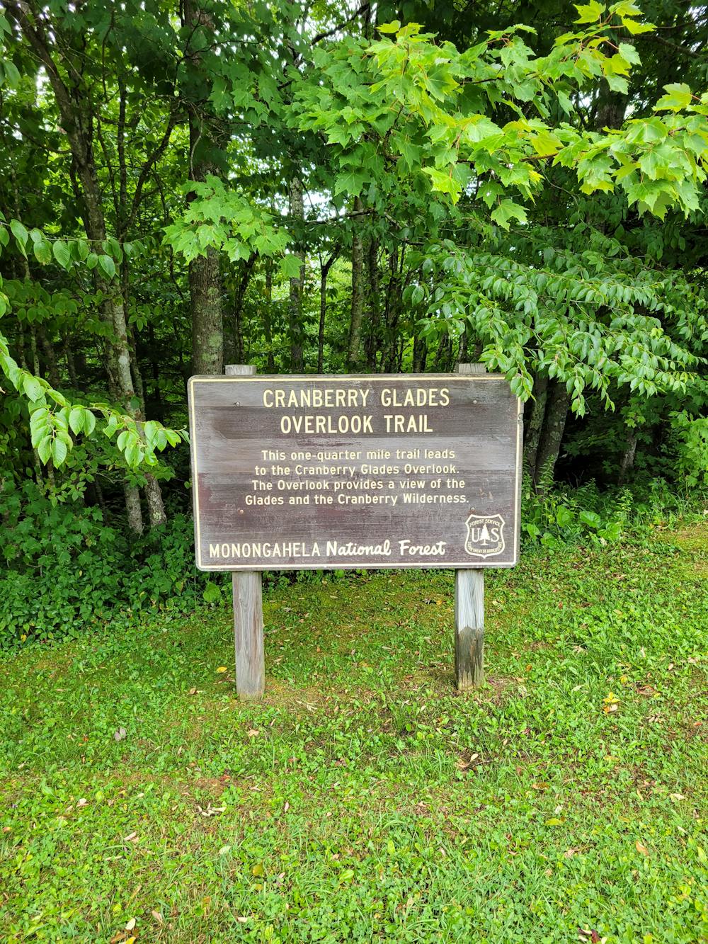
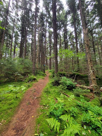
The Cranberry Glades Overlook Trail is a quick and somewhat easy hike to an impressive view of the nearby bog. Set aside about 30-minutes to complete the trek, and take a few minutes to read the sign at the overlook. Though the area was once considered to be a tundra over 12,000 years ago, the wetlands area is now laden with native red spruce, underlain by peat moss "that is up to 10 feet thick," according to this source. Though short, this hike is a great way to see the bog from a different perspective.
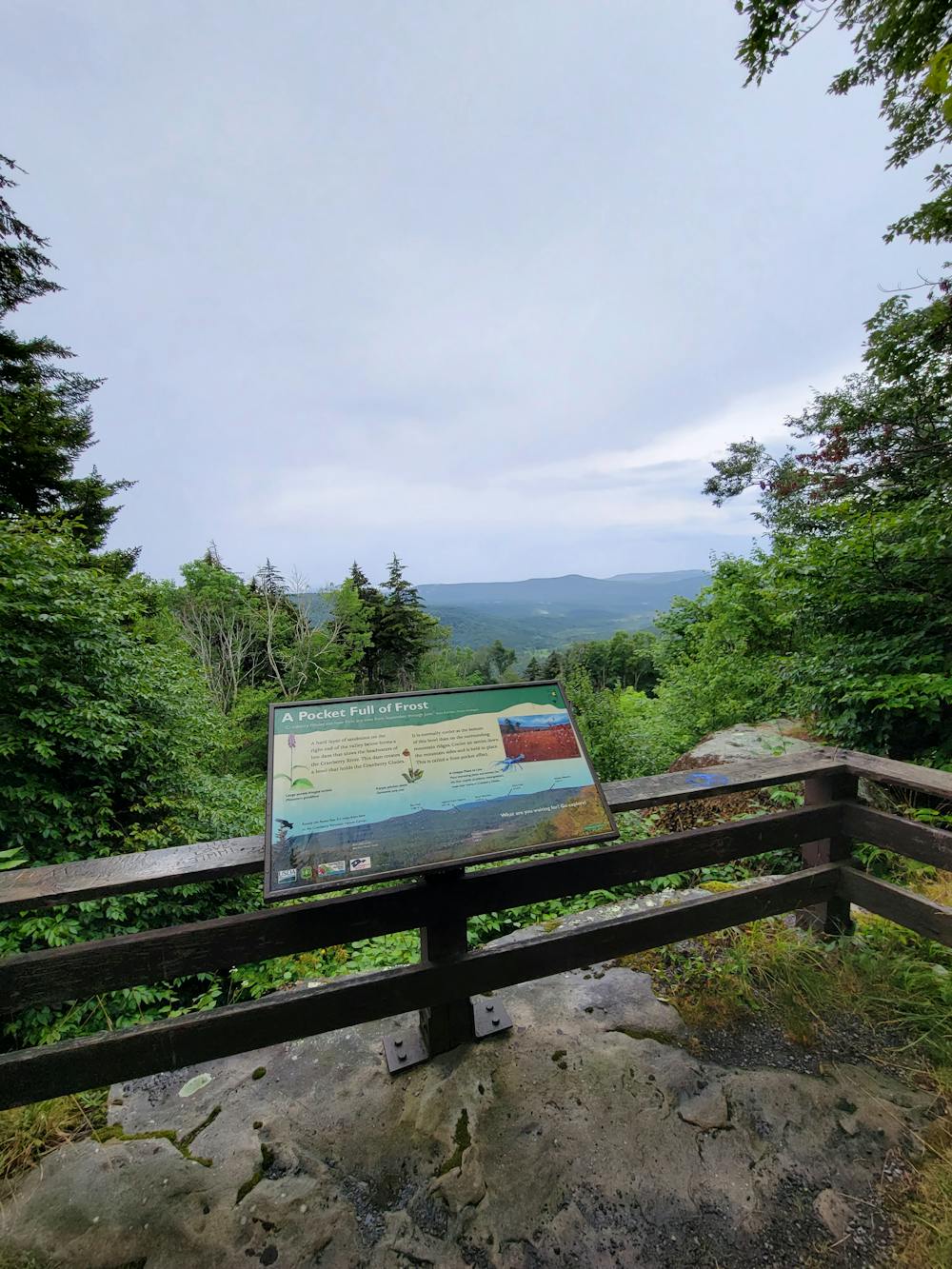
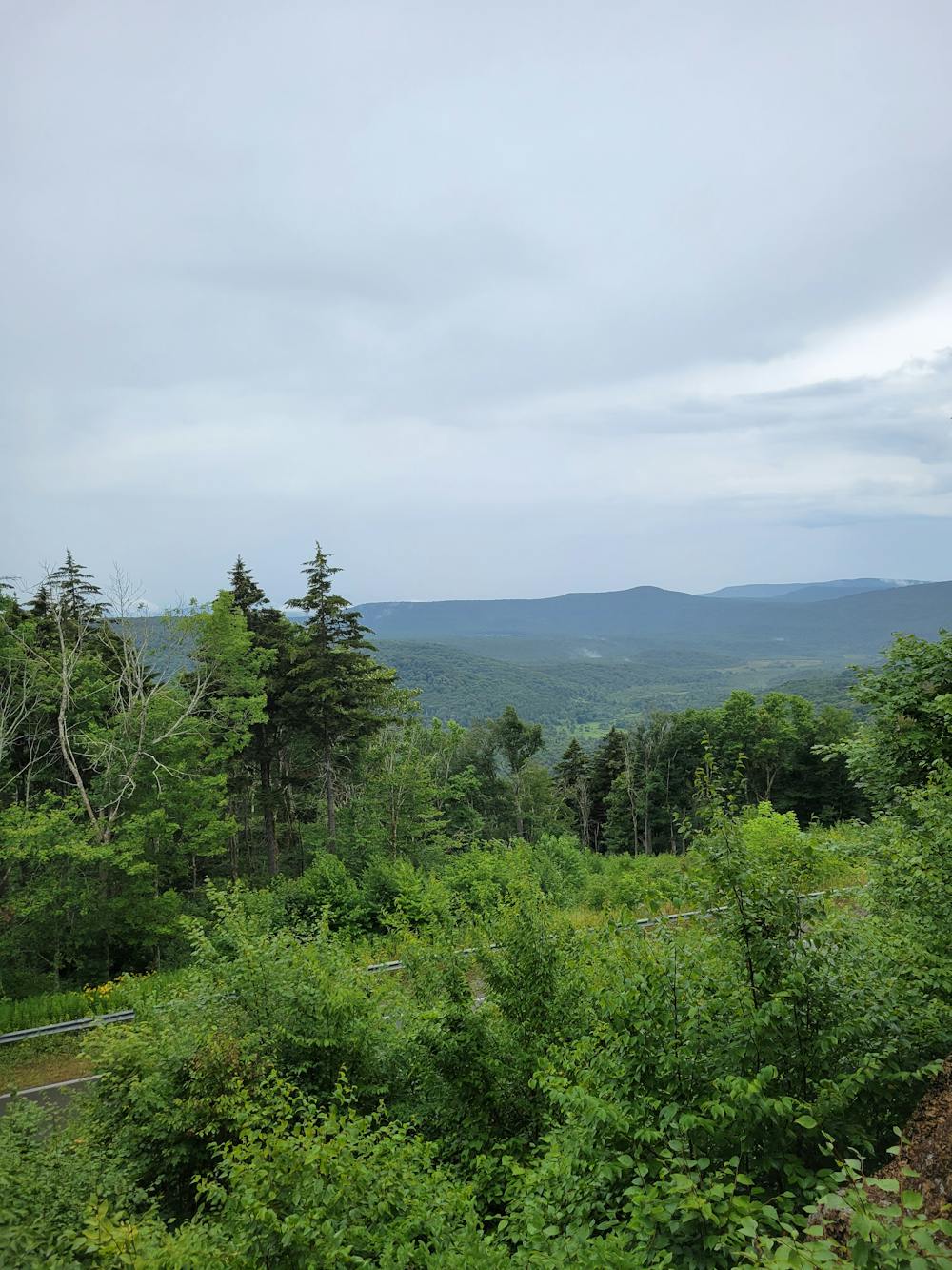
According to the same source, the glades are one of only five boreal-type bogs found in the area. The ecosystem resembles many Canadian bogs and hosts plants "commonly found at higher latitudes, including cranberries, sphagnum moss, skunk cabbage, and two carnivorous plants (purple pitcher plant, sundew)." Encompassing 750 acres of highly acidic land, the area "has been the subject of much scientific study," and is now protected as the Cranberry Glades Botanical Area and part of Monongahela National Forest.
If you're eyeing this short hike, the trailhead is located at one of the many overlooks on Highland Scenic Highway. There are no restrooms or water, but plenty of space for larger vehicles to park. The road is also open year-round, though it is not treated for ice and snow, nor is it plowed.
Easy
Walking along a well-kept trail that’s mostly flat. No obstacles are present.

The trail contains some obstacles such as outcroppings and rock which could cause injury.

Close to help in case of emergency.
4.4 km away
A short boardwalk with waysides highlighting the historic logging efforts that took place nearby.
Easy Hiking
5 routes · Hiking